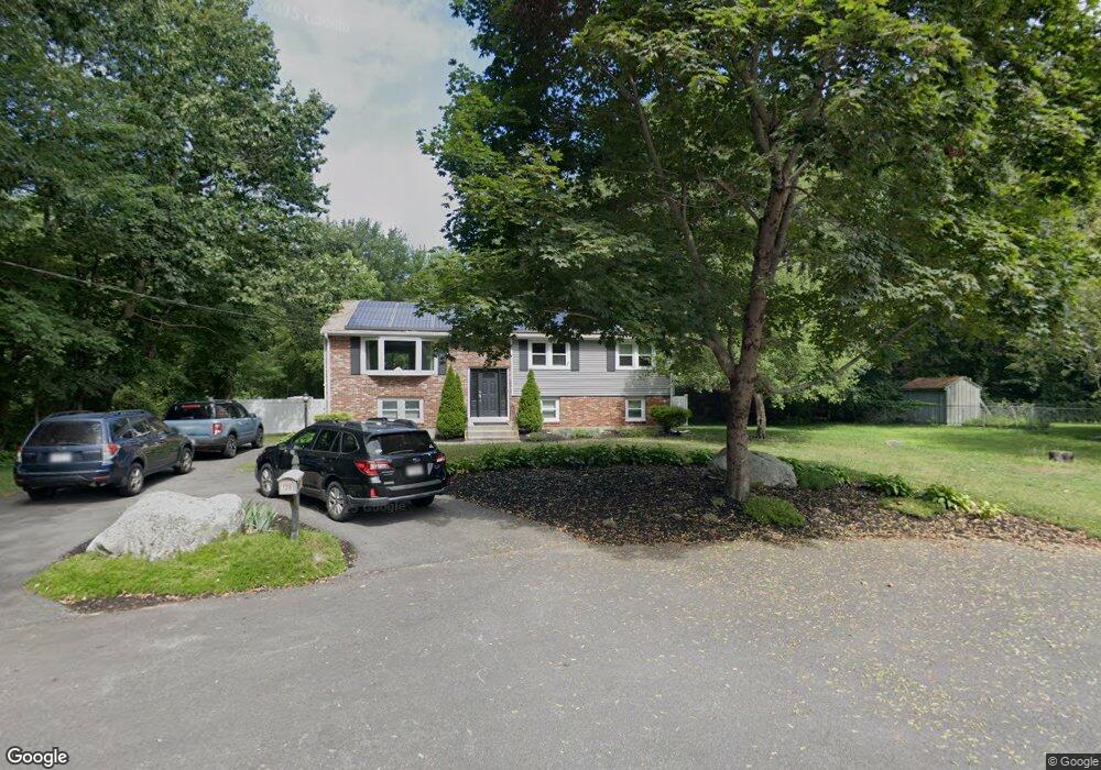
129 E Vanston Rd Stoughton, MA 02072
Estimated Value: $631,000 - $715,000
3
Beds
3
Baths
2,246
Sq Ft
$303/Sq Ft
Est. Value
About This Home
This home is located at 129 E Vanston Rd, Stoughton, MA 02072 and is currently estimated at $680,545, approximately $303 per square foot. 129 E Vanston Rd is a home located in Norfolk County with nearby schools including Joseph R Dawe Jr Elementary School, O'Donnell Middle School, and Stoughton High School.
Create a Home Valuation Report for This Property
The Home Valuation Report is an in-depth analysis detailing your home's value as well as a comparison with similar homes in the area
Home Values in the Area
Average Home Value in this Area
Tax History
| Year | Tax Paid | Tax Assessment Tax Assessment Total Assessment is a certain percentage of the fair market value that is determined by local assessors to be the total taxable value of land and additions on the property. | Land | Improvement |
|---|---|---|---|---|
| 2025 | $7,426 | $599,800 | $223,300 | $376,500 |
| 2024 | $7,238 | $568,600 | $204,000 | $364,600 |
| 2023 | $6,986 | $515,600 | $186,400 | $329,200 |
| 2022 | $6,794 | $471,500 | $179,400 | $292,100 |
| 2021 | $6,520 | $431,800 | $158,300 | $273,500 |
| 2020 | $6,276 | $421,500 | $158,300 | $263,200 |
| 2019 | $6,309 | $411,300 | $158,300 | $253,000 |
| 2018 | $5,588 | $377,300 | $151,200 | $226,100 |
| 2017 | $5,353 | $369,400 | $149,500 | $219,900 |
| 2016 | $5,180 | $346,000 | $135,400 | $210,600 |
| 2015 | $5,129 | $339,000 | $128,400 | $210,600 |
| 2014 | $4,933 | $313,400 | $117,800 | $195,600 |
Source: Public Records
Map
Nearby Homes
- 121 E Vanston Rd
- 120 E Vanston Rd
- 101 E Vanston Rd
- 130 E Vanston Rd
- 40 Flynn Rd
- 104 E Vanston Rd
- 91 E Vanston Rd
- 91 E Vanston Rd Unit 91
- 37 Flynn Rd
- 30 Flynn Rd
- 90 E Vanston Rd
- 27 Flynn Rd
- 385 William Kelley Rd
- 18 Flynn Rd
- 379 William Kelley Rd
- 71 E Vanston Rd
- 24 W Vanston Rd
- 12 W Vanston Rd
- 11 E Vanston Rd
- 2 W Vanston Rd
Your Personal Tour Guide
Ask me questions while you tour the home.