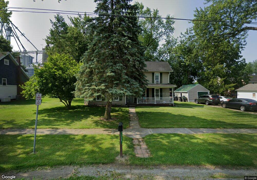
129 Osborne St Britton, MI 49229
Estimated Value: $209,868 - $242,000
5
Beds
2
Baths
2,160
Sq Ft
$104/Sq Ft
Est. Value
About This Home
This home is located at 129 Osborne St, Britton, MI 49229 and is currently estimated at $223,967, approximately $103 per square foot. 129 Osborne St is a home located in Lenawee County with nearby schools including Britton-Macon Area School.
Ownership History
Date
Name
Owned For
Owner Type
Purchase Details
Closed on
Oct 8, 2013
Sold by
Kozlowski Leroy
Bought by
Wolford Brynne
Current Estimated Value
Purchase Details
Closed on
Apr 27, 2009
Sold by
Trott and Trott P
Bought by
Kozlowski Daniel
Purchase Details
Closed on
Dec 11, 2007
Sold by
Huntington National Bank
Bought by
Federal National Mortgage Association
Purchase Details
Closed on
Dec 6, 2007
Sold by
Taylor Claude R J and Taylor Dawn M
Bought by
Huntington National Bank
Create a Home Valuation Report for This Property
The Home Valuation Report is an in-depth analysis detailing your home's value as well as a comparison with similar homes in the area
Purchase History
| Date | Buyer | Sale Price | Title Company |
|---|---|---|---|
| Wolford Brynne | $25,740 | None Available | |
| Kozlowski Daniel | $28,875 | Attorney Title | |
| Federal National Mortgage Association | -- | None Available | |
| Huntington National Bank | $113,344 | None Available |
Source: Public Records
Tax History
| Year | Tax Paid | Tax Assessment Tax Assessment Total Assessment is a certain percentage of the fair market value that is determined by local assessors to be the total taxable value of land and additions on the property. | Land | Improvement |
|---|---|---|---|---|
| 2025 | $1,886 | $100,900 | $0 | $0 |
| 2024 | $13 | $101,700 | $0 | $0 |
| 2023 | $1,554 | $81,000 | $0 | $0 |
| 2022 | $1,208 | $76,700 | $0 | $0 |
| 2021 | $2,137 | $72,000 | $0 | $0 |
| 2020 | $2,108 | $65,000 | $0 | $0 |
| 2019 | $144,721 | $50,900 | $0 | $0 |
| 2018 | $2,059 | $50,901 | $0 | $0 |
| 2017 | $1,977 | $49,317 | $0 | $0 |
| 2016 | $1,861 | $48,250 | $0 | $0 |
| 2014 | -- | $48,104 | $0 | $0 |
Source: Public Records
Map
Nearby Homes
- 163 Rose St
- 379 N Main St
- 231 S Main St
- 260 S Main St
- 448 E Chicago Blvd
- 8745 E Monroe Rd
- 8163 E Monroe Rd
- 1 Shaw Hwy
- 9393 Mills MacOn Hwy
- 6111 Billmyer Hwy
- 5517 Billmyer Hwy
- 1066 Preservation Dr
- 799 War Bonnet Dr
- 1036 Preservation Dr
- 6584 Holloway Rd
- Parcel B Fieldstone Dr
- 809 Blood Rd
- 700 E Russell Rd
- 506 Illinois Dr
- 8466 Clinton MacOn Rd
Your Personal Tour Guide
Ask me questions while you tour the home.