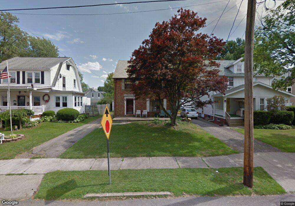
129 Reba Ave Mansfield, OH 44907
Estimated Value: $81,000 - $154,000
About This Home
This home is located at 129 Reba Ave, Mansfield, OH 44907 and is currently estimated at $120,895, approximately $82 per square foot. 129 Reba Ave is a home located in Richland County with nearby schools including St. Peter's Elementary/Montessori School, Discovery School, and St. Peter's Junior High / High School.
Ownership History
We collect this data history from publicly available records. To have your information removed, we recommend requesting removal directly through your county’s website.
Purchase Details
Purchase Details
Purchase Details
Home Values in the Area
Average Home Value in this Area
Purchase History
We collect this data history from publicly available records. To have your information removed, we recommend requesting removal directly through your county’s website.
| Date | Buyer | Sale Price | Title Company |
|---|---|---|---|
| $21,500 | Attorney | ||
| -- | Attorney | ||
| -- | Attorney | ||
| -- | Attorney |
Tax History
We collect this data history from publicly available records. To have your information removed, we recommend requesting removal directly through your county’s website.
| Year | Tax Paid | Tax Assessment Tax Assessment Total Assessment is a certain percentage of the fair market value that is determined by local assessors to be the total taxable value of land and additions on the property. | Land | Improvement |
|---|---|---|---|---|
| 2025 | $460 | $10,040 | $5,150 | $4,890 |
| 2024 | $460 | $10,040 | $5,150 | $4,890 |
| 2023 | $470 | $10,040 | $5,150 | $4,890 |
| 2022 | $508 | $9,090 | $5,070 | $4,020 |
| 2021 | $511 | $9,090 | $5,070 | $4,020 |
| 2020 | $523 | $9,090 | $5,070 | $4,020 |
| 2019 | $495 | $7,770 | $4,290 | $3,480 |
| 2018 | $489 | $7,770 | $4,290 | $3,480 |
| 2017 | $1,186 | $19,380 | $4,290 | $15,090 |
| 2016 | $1,154 | $18,280 | $4,080 | $14,200 |
| 2015 | $1,154 | $18,280 | $4,080 | $14,200 |
| 2014 | $1,088 | $18,280 | $4,080 | $14,200 |
| 2012 | $436 | $19,230 | $4,290 | $14,940 |
Map
- 512 Harter Ave
- 137 Wolfe Ave
- 220 Saxton Rd
- 219 Lexington Ave
- 0 Cline Ave Hedeen Abbeyfeale Unit 9066362
- 228 Bowland Rd
- 236 Bowland Rd
- 530 Wood St
- 34 W Raleigh Ave
- 172 Lexington Ave
- 116 Grover St Unit 120
- 466 Lexington Ave
- 69 Chilton Ave
- 665 Gilbert Ave
- 394 S Main St
- 201 Walter Ave
- 377 S Main St
- 675 Wildwood Dr
- 356 Townview Cir N
- 540 Lexington Ave
Ask me questions while you tour the home.