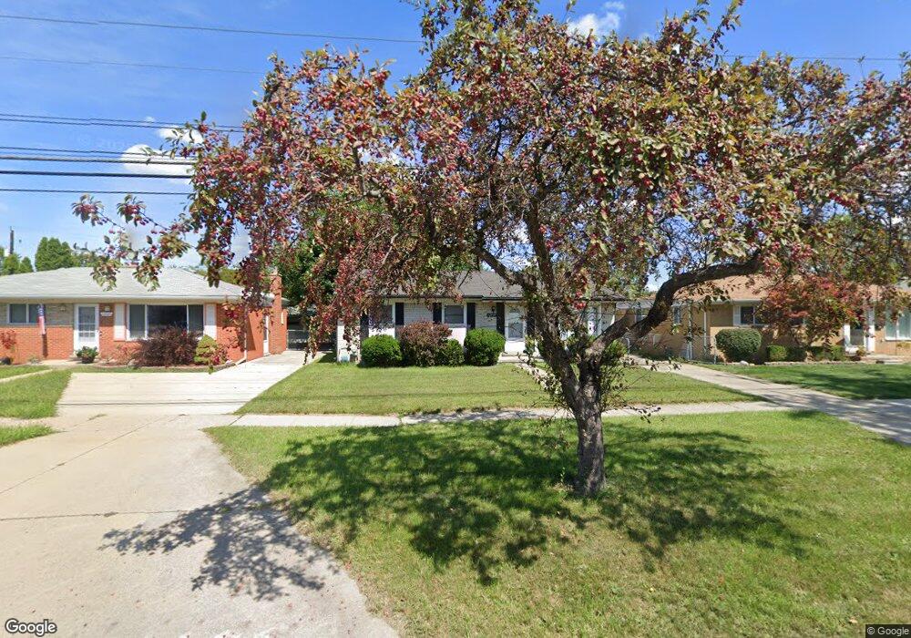
12939 E 12 Mile Rd Warren, MI 48088
Northeast Warren NeighborhoodEstimated Value: $223,000 - $247,000
About This Home
This home is located at 12939 E 12 Mile Rd, Warren, MI 48088 and is currently estimated at $235,314, approximately $233 per square foot. 12939 E 12 Mile Rd is a home located in Macomb County with nearby schools including Warren Woods Tower High School, Macomb Montessori Academy, and Center Line Preparatory Academy.
Ownership History
We collect this data history from publicly available records. To have your information removed, we recommend requesting removal directly through your county’s website.
Purchase Details
Home Financials for this Owner
Home Financials are based on the most recent Mortgage that was taken out on this home.Purchase Details
Home Values in the Area
Average Home Value in this Area
Purchase History
We collect this data history from publicly available records. To have your information removed, we recommend requesting removal directly through your county’s website.
| Date | Buyer | Sale Price | Title Company |
|---|---|---|---|
| $80,000 | Bell Title Agency | ||
| $52,924 | None Available |
Mortgage History
We collect this data history from publicly available records. To have your information removed, we recommend requesting removal directly through your county’s website.
| Date | Status | Borrower | Loan Amount |
|---|---|---|---|
| Open | $78,551 |
Tax History
We collect this data history from publicly available records. To have your information removed, we recommend requesting removal directly through your county’s website.
| Year | Tax Paid | Tax Assessment Tax Assessment Total Assessment is a certain percentage of the fair market value that is determined by local assessors to be the total taxable value of land and additions on the property. | Land | Improvement |
|---|---|---|---|---|
| 2025 | $2,859 | $101,330 | $0 | $0 |
| 2024 | $28 | $92,020 | $0 | $0 |
| 2023 | $2,636 | $88,830 | $0 | $0 |
| 2022 | $2,585 | $77,440 | $0 | $0 |
| 2021 | $2,536 | $70,850 | $0 | $0 |
| 2020 | $2,431 | $67,040 | $0 | $0 |
| 2019 | $2,322 | $64,120 | $0 | $0 |
| 2018 | $2,345 | $53,770 | $0 | $0 |
| 2017 | $2,218 | $48,340 | $9,660 | $38,680 |
| 2016 | $2,201 | $48,340 | $0 | $0 |
| 2015 | -- | $44,440 | $0 | $0 |
| 2013 | $2,127 | $41,620 | $0 | $0 |
Map
- 29120 Dover Ave
- 29108 Dover Ave
- 29340 Fairfield Ave
- 29146 Palomino Dr
- 28450 Suburban Dr
- 28263 Newport Dr
- 29337 Roan Dr
- 28357 Suburban Dr
- 29812 Newport Dr
- 13646 Edwin Ct
- 28644 Imperial Dr Unit 12
- 29619 Pinto Dr
- 28111 Adler Dr
- 29639 Malvina Dr
- 12531 Common Rd
- 13216 Cromie Dr
- 13051 Iowa Dr
- 28460 Bradner Dr
- 29472 Hoover Rd Unit 42/D
- 12014 Common Rd
- 12970 Geoffry Dr
- 12946 Geoffry Dr
- 13000 Geoffry Dr
- 12934 Geoffry Dr
- 12915 E 12 Mile Rd
- 12885 E Twelve Mile Rd
- 12885 E 12 Mile Rd
- 12927 E 12 Mile Rd
- 12927 Twelve Mile Rd
- 13012 Geoffry Dr
- 12915 Twelve Mile Rd
- 12873 E 12 Mile Rd
- 12949 Geoffry Dr
- 12969 Geoffry Dr
- 12939 Twelve Mile Rd
- 12912 Geoffry Dr
- 13011 E 12 Mile Rd
- 12861 E 12 Mile Rd
- 13024 Geoffry Dr
- 12911 Geoffry Dr
Ask me questions while you tour the home.