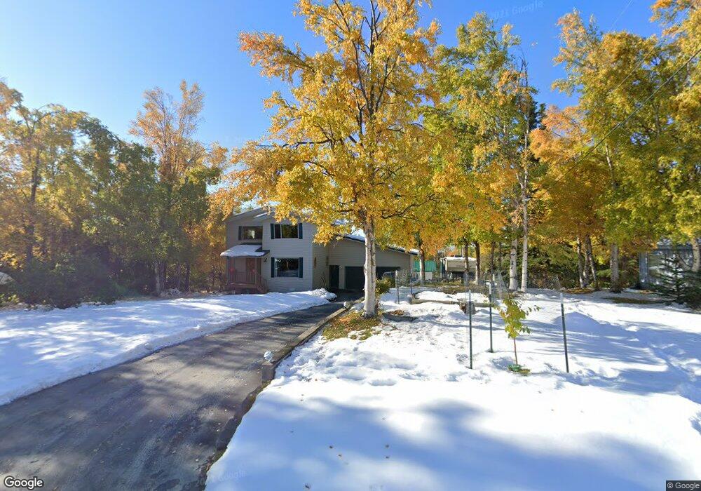
12940 Saunders Rd Anchorage, AK 99516
Mid-Hillside NeighborhoodEstimated Value: $557,000 - $646,661
3
Beds
3
Baths
2,096
Sq Ft
$283/Sq Ft
Est. Value
About This Home
This home is located at 12940 Saunders Rd, Anchorage, AK 99516 and is currently estimated at $593,220, approximately $283 per square foot. 12940 Saunders Rd is a home located in Anchorage Municipality with nearby schools including Bear Valley Elementary School, Goldenview Middle School, and South Anchorage High School.
Ownership History
Date
Name
Owned For
Owner Type
Purchase Details
Closed on
Jun 28, 2019
Sold by
Stattner Ryan
Bought by
Stattner Ryan and Tsui Iris
Current Estimated Value
Home Financials for this Owner
Home Financials are based on the most recent Mortgage that was taken out on this home.
Original Mortgage
$250,000
Outstanding Balance
$197,445
Interest Rate
5.75%
Mortgage Type
Adjustable Rate Mortgage/ARM
Estimated Equity
$395,775
Purchase Details
Closed on
Jan 28, 1988
Sold by
Rowe Larry H and Rowe Beverly D
Bought by
Truesdell Daniel R and Truesdell Linda L
Home Financials for this Owner
Home Financials are based on the most recent Mortgage that was taken out on this home.
Original Mortgage
$140,026
Interest Rate
10.82%
Mortgage Type
FHA
Create a Home Valuation Report for This Property
The Home Valuation Report is an in-depth analysis detailing your home's value as well as a comparison with similar homes in the area
Home Values in the Area
Average Home Value in this Area
Purchase History
| Date | Buyer | Sale Price | Title Company |
|---|---|---|---|
| Stattner Ryan | -- | Accommodation | |
| Truesdell Daniel R | -- | -- |
Source: Public Records
Mortgage History
| Date | Status | Borrower | Loan Amount |
|---|---|---|---|
| Open | Stattner Ryan | $250,000 | |
| Closed | Truesdell Daniel R | $140,026 |
Source: Public Records
Tax History
| Year | Tax Paid | Tax Assessment Tax Assessment Total Assessment is a certain percentage of the fair market value that is determined by local assessors to be the total taxable value of land and additions on the property. | Land | Improvement |
|---|---|---|---|---|
| 2025 | $5,523 | $654,000 | $114,100 | $539,900 |
| 2024 | $5,523 | $603,700 | $108,800 | $494,900 |
| 2023 | $8,210 | $541,900 | $104,600 | $437,300 |
| 2022 | $4,841 | $516,400 | $104,600 | $411,800 |
| 2021 | $8,159 | $495,400 | $104,600 | $390,800 |
| 2020 | $4,385 | $499,800 | $104,600 | $395,200 |
| 2019 | $4,015 | $472,200 | $104,600 | $367,600 |
| 2018 | $4,082 | $476,900 | $118,500 | $358,400 |
| 2017 | $6,491 | $469,500 | $118,500 | $351,000 |
| 2016 | $4,931 | $427,500 | $118,500 | $309,000 |
| 2015 | $4,931 | $428,500 | $114,500 | $314,000 |
| 2014 | $4,931 | $418,100 | $99,400 | $318,700 |
Source: Public Records
Map
Nearby Homes
- 12800 Foster Rd
- 13492 de Palatis Cir
- 000 de Palatis Cir
- 000 von Scheben Dr
- 12801 Midori Dr
- 6820 Gunnison Dr
- 11601 Hillside Dr
- 14351 Equestrian Cir
- 14310 Pickett St
- 14474 Rockingham Cir
- 11100 Hideaway Trail
- L1 B1 E Klatt Rd
- 13675 Canyon Rd
- 000 Heritage Heights Dr
- 11371 Cobra St
- 5345 Heritage Heights Dr
- L2A Snow Flake Dr
- L5 Snow Flake Cir
- 4905 de Armoun Rd
- 6770 Round Tree Dr
- 13000 Saunders Rd
- 12920 Saunders Rd
- 12941 Foster Rd
- 13001 Foster Rd
- 12921 Foster Rd
- 13020 Saunders Rd
- 12900 Saunders Rd
- 12940 Hillside Dr
- 13021 Foster Rd
- 13000 Hillside Dr
- 12901 Foster Rd
- L9 B3 Saunders Rd
- L20 Foster Rd
- 12900 Hillside Dr
- 13041 Foster Rd
- 12841 Foster Rd
- 12840 Hillside Dr
- 13040 Hillside Dr
- 12940 Foster Rd
- 13000 Foster Rd
Your Personal Tour Guide
Ask me questions while you tour the home.