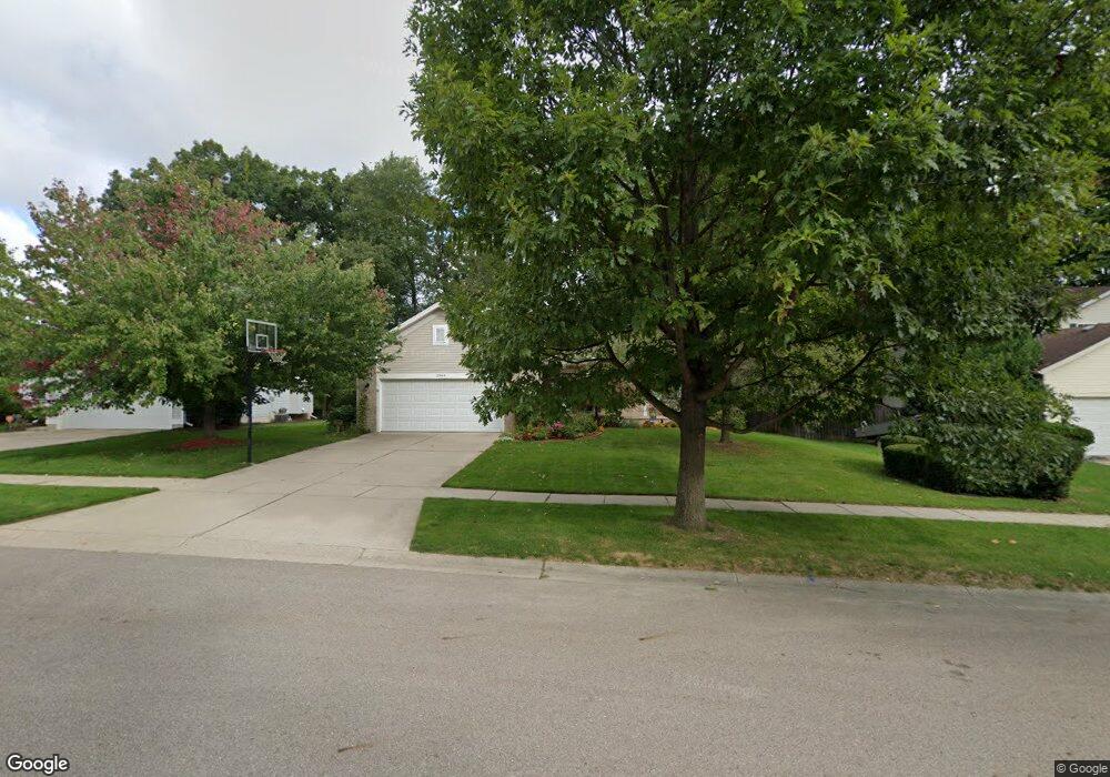
12944 Menominee Dr Dewitt, MI 48820
Estimated Value: $345,473 - $371,000
3
Beds
3
Baths
1,248
Sq Ft
$288/Sq Ft
Est. Value
About This Home
This home is located at 12944 Menominee Dr, Dewitt, MI 48820 and is currently estimated at $359,118, approximately $287 per square foot. 12944 Menominee Dr is a home located in Clinton County with nearby schools including Schavey Road Elementary School, Herbison Woods Elementary School, and Scott Elementary School.
Ownership History
Date
Name
Owned For
Owner Type
Purchase Details
Closed on
Jul 6, 2005
Sold by
Winegar Steve and Winegar Gale
Bought by
Perry John and Perry Carri
Current Estimated Value
Home Financials for this Owner
Home Financials are based on the most recent Mortgage that was taken out on this home.
Original Mortgage
$142,500
Outstanding Balance
$74,531
Interest Rate
5.69%
Mortgage Type
New Conventional
Estimated Equity
$284,587
Create a Home Valuation Report for This Property
The Home Valuation Report is an in-depth analysis detailing your home's value as well as a comparison with similar homes in the area
Home Values in the Area
Average Home Value in this Area
Purchase History
| Date | Buyer | Sale Price | Title Company |
|---|---|---|---|
| Perry John | $192,000 | -- |
Source: Public Records
Mortgage History
| Date | Status | Borrower | Loan Amount |
|---|---|---|---|
| Open | Perry John | $142,500 |
Source: Public Records
Tax History
| Year | Tax Paid | Tax Assessment Tax Assessment Total Assessment is a certain percentage of the fair market value that is determined by local assessors to be the total taxable value of land and additions on the property. | Land | Improvement |
|---|---|---|---|---|
| 2025 | $4,222 | $168,000 | $26,100 | $141,900 |
| 2024 | $22 | $146,100 | $24,700 | $121,400 |
| 2023 | $2,457 | $136,100 | $0 | $0 |
| 2022 | $3,821 | $123,000 | $21,900 | $101,100 |
| 2021 | $3,696 | $117,800 | $19,900 | $97,900 |
| 2020 | $3,604 | $109,300 | $19,300 | $90,000 |
| 2019 | $3,462 | $103,700 | $18,100 | $85,600 |
| 2018 | $3,298 | $98,600 | $17,200 | $81,400 |
| 2017 | $3,254 | $90,200 | $16,900 | $73,300 |
| 2016 | $3,227 | $86,000 | $16,100 | $69,900 |
| 2015 | $3,221 | $86,100 | $0 | $0 |
| 2011 | -- | $84,700 | $0 | $0 |
Source: Public Records
Map
Nearby Homes
- 12719 Ontonagon Dr
- 12719 Houghton Dr
- 1465 Primrose Ln
- 1448 Primrose Ln
- 12565 McKouen Dr
- 1349 Poppy Ln
- 13282 Blaisdell Dr
- 12441 Oakland Hills Dr
- 14055 Pristine Ct
- 14065 Pristine Ct
- E Howe Rd
- 14050 Pristine Ct
- 14070 Pristine Ct
- 14103 Ambrosia Ave
- 14144 Ambrosia Ave
- 14174 Myers Rd
- 13158 Wood Rd
- 0 Old U S 27 Unit 291913
- 603 Cherry St
- 11549 S Us Highway 27
- 12936 Menominee Dr
- 12952 Menominee Dr
- 12863 Isle Royale Dr
- 12871 Isle Royale Dr
- 12857 Isle Royale Dr
- 12964 Menominee Dr
- 12928 Menominee Dr
- 12945 Menominee Dr
- 12953 Menominee Dr
- 12937 Menominee Dr
- 12916 Menominee Dr
- 12945 Menonee
- 12963 Menominee Dr
- 12936 Menonee
- 12902 Menominee Dr
- 12931 Menominee Dr
- 12862 Isle Royale Dr
- 12856 Isle Royale Dr
- 12870 Isle Royale Dr
- 12929 Menominee Dr
Your Personal Tour Guide
Ask me questions while you tour the home.