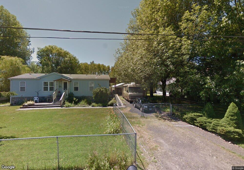
1295 E Knott St Vernonia, OR 97064
Estimated Value: $355,000 - $382,000
3
Beds
2
Baths
1,296
Sq Ft
$283/Sq Ft
Est. Value
About This Home
This home is located at 1295 E Knott St, Vernonia, OR 97064 and is currently estimated at $367,155, approximately $283 per square foot. 1295 E Knott St is a home located in Columbia County with nearby schools including Vernonia High School.
Ownership History
Date
Name
Owned For
Owner Type
Purchase Details
Closed on
Aug 26, 2025
Sold by
Billows John F
Bought by
Lee Sean and Lee Diane
Current Estimated Value
Home Financials for this Owner
Home Financials are based on the most recent Mortgage that was taken out on this home.
Original Mortgage
$351,500
Outstanding Balance
$351,500
Interest Rate
6.75%
Mortgage Type
New Conventional
Estimated Equity
$15,655
Purchase Details
Closed on
Mar 27, 2013
Sold by
Albro Marilyn A
Bought by
Billows John F
Create a Home Valuation Report for This Property
The Home Valuation Report is an in-depth analysis detailing your home's value as well as a comparison with similar homes in the area
Home Values in the Area
Average Home Value in this Area
Purchase History
| Date | Buyer | Sale Price | Title Company |
|---|---|---|---|
| Lee Sean | $370,000 | Deschutes Title | |
| Billows John F | $70,000 | Ticor Title |
Source: Public Records
Mortgage History
| Date | Status | Borrower | Loan Amount |
|---|---|---|---|
| Open | Lee Sean | $351,500 |
Source: Public Records
Tax History
| Year | Tax Paid | Tax Assessment Tax Assessment Total Assessment is a certain percentage of the fair market value that is determined by local assessors to be the total taxable value of land and additions on the property. | Land | Improvement |
|---|---|---|---|---|
| 2025 | $2,647 | $145,990 | $81,660 | $64,330 |
| 2024 | $2,589 | $141,740 | $79,280 | $62,460 |
| 2023 | $2,556 | $137,620 | $70,990 | $66,630 |
| 2022 | $2,436 | $133,620 | $68,530 | $65,090 |
| 2021 | $2,367 | $129,730 | $62,330 | $67,400 |
| 2020 | $2,303 | $125,960 | $69,200 | $56,760 |
| 2019 | $2,136 | $122,300 | $63,830 | $58,470 |
| 2018 | $2,109 | $118,740 | $71,010 | $47,730 |
| 2017 | $2,058 | $115,290 | $68,950 | $46,340 |
| 2016 | $1,964 | $111,940 | $66,950 | $44,990 |
| 2015 | $1,854 | $108,680 | $48,920 | $59,760 |
| 2014 | $1,830 | $105,520 | $58,960 | $46,560 |
Source: Public Records
Map
Nearby Homes
- 1550 Heather Ct
- 1852 N Mist Dr
- 0 Nehalem Hwy N
- 1105 Riverside Dr Unit 17
- 1105 Riverside Dr
- 1302 Cherry St
- 872 Bridge St E
- 0000 N Louisiana Ave
- 0 Ave Unit 439855536
- 165 E G St
- 158 E H St
- 1483 Polk Ave
- 176 North St
- 1046 State Ave
- 821 Bridge St
- 0000 Keasey Rd
- 441 North St
- 816 West E
- 875 Park Dr
- 1842 Rose Hedge Ct
- 1281 Knott St
- 1351 Knott St
- 1241 Knott St
- 1363 Knott St
- 1367 E Knott St
- 1367 Knott St
- 1373 Knott St
- 1984 N Mist Dr
- 1181 E Knott St
- 1181 Knott St
- 1383 Knott St
- 1374 E Knott St Unit 1
- 1374 Knott St
- 1967 Nickerson Ave
- 1186 Juniper St
- 1181 Juniper St
- 1184 E Juniper St
- 1563 Heather Ct
- 1500 E Ivy St
- 1360 Knott St
Your Personal Tour Guide
Ask me questions while you tour the home.