12993 SW Cornett Loop Powell Butte, OR 97753
Estimated Value: $1,836,639
4
Beds
5
Baths
4,627
Sq Ft
$397/Sq Ft
Est. Value
About This Home
This home is located at 12993 SW Cornett Loop, Powell Butte, OR 97753 and is currently estimated at $1,836,639, approximately $396 per square foot. 12993 SW Cornett Loop is a home located in Crook County with nearby schools including Crooked River Elementary School, Crook County Middle School, and Crook County High School.
Ownership History
Date
Name
Owned For
Owner Type
Purchase Details
Closed on
Jul 10, 2014
Sold by
Moss Land & Cattle Llc
Bought by
Malott Mark and Malott Ann
Current Estimated Value
Home Financials for this Owner
Home Financials are based on the most recent Mortgage that was taken out on this home.
Original Mortgage
$5,300,000
Outstanding Balance
$4,011,483
Interest Rate
4.07%
Mortgage Type
Purchase Money Mortgage
Estimated Equity
-$2,174,844
Create a Home Valuation Report for This Property
The Home Valuation Report is an in-depth analysis detailing your home's value as well as a comparison with similar homes in the area
Home Values in the Area
Average Home Value in this Area
Purchase History
| Date | Buyer | Sale Price | Title Company |
|---|---|---|---|
| Malott Mark | $5,300,000 | Amerititle |
Source: Public Records
Mortgage History
| Date | Status | Borrower | Loan Amount |
|---|---|---|---|
| Open | Malott Mark | $5,300,000 |
Source: Public Records
Tax History
| Year | Tax Paid | Tax Assessment Tax Assessment Total Assessment is a certain percentage of the fair market value that is determined by local assessors to be the total taxable value of land and additions on the property. | Land | Improvement |
|---|---|---|---|---|
| 2025 | $12,689 | $1,044,590 | -- | -- |
| 2024 | $12,385 | $1,014,170 | -- | -- |
| 2023 | $11,959 | $984,640 | $0 | $0 |
| 2022 | $11,587 | $955,970 | $0 | $0 |
| 2021 | $11,586 | $928,130 | $0 | $0 |
| 2020 | $11,266 | $901,104 | $0 | $0 |
| 2019 | $10,867 | $849,377 | $0 | $0 |
| 2018 | $10,593 | $849,377 | $0 | $0 |
| 2017 | $10,432 | $824,638 | $0 | $0 |
| 2016 | $9,953 | $777,300 | $0 | $0 |
Source: Public Records
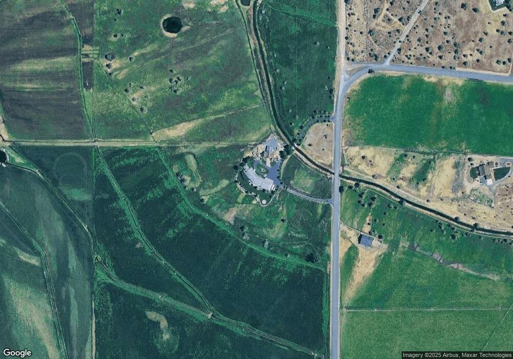
Map
Nearby Homes
- NW Oneil (Tl 105) Hwy
- 0 NW Mcdaniel Rd
- 502 SW Bent Loop
- 15333 NW Oneil Hwy
- 2441 SW Minson Rd
- 1814 Remington Ranch Dr
- 15110 SW Twin Lakes Rd
- 16065 SW Twin Lakes Rd
- 1164 SW Parrish Ln
- 3068 SW Reif Rd
- 0 Parrish Ln Unit 597528286
- 11311 SW Fleming Rd
- 4088 SW Minson Rd
- 10934 SW Fleming Rd
- 4074 SW Reif Rd
- 3660 SW Parrish Ln
- 8790 NW Campbell Ranch Rd
- 0 SW Parrish Ln Unit 416136612
- 444 NW Pinecrest Dr
- 700 NW Pinecrest Dr
- 12617 SW Cornett Loop
- 12679 SW Cornett Loop
- 12913 Larkmeadow Ln
- 12913 S West Lark Meadow Ln
- 12917 Larkmeadow Ln
- 12917 S West Lark Meadow Ln
- 12301 SW Cornett Loop
- 0 S West Lark Meadow Ln
- 12223 SW Cornett Loop
- 12150 SW Cornett Loop
- 12837 SW Cornett Loop
- 12815 S West Cornett Loop
- 2190 NW Serrano Ln
- 12853 SW Cornett Loop
Your Personal Tour Guide
Ask me questions while you tour the home.