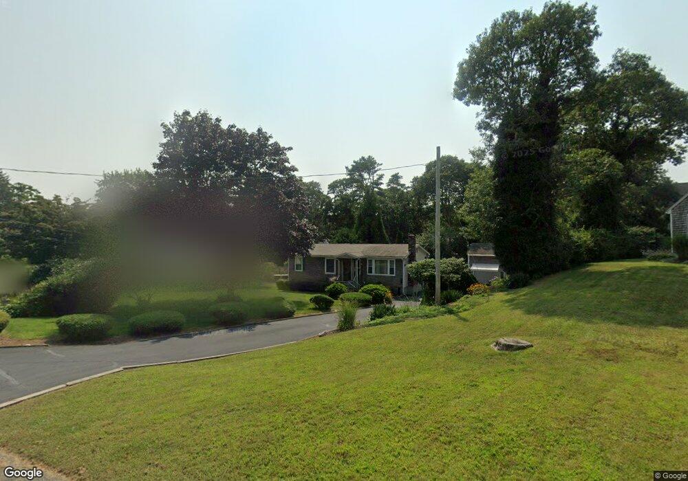
13 Crows Nest Dr Bourne, MA 2532
Buzzards Bay NeighborhoodEstimated Value: $508,149 - $573,000
3
Beds
2
Baths
960
Sq Ft
$559/Sq Ft
Est. Value
About This Home
This home is located at 13 Crows Nest Dr, Bourne, MA 2532 and is currently estimated at $536,537, approximately $558 per square foot. 13 Crows Nest Dr is a home located in Barnstable County with nearby schools including Bourne High School and St Margaret Regional School.
Ownership History
Date
Name
Owned For
Owner Type
Purchase Details
Closed on
Apr 26, 2001
Sold by
Sherman Joan and Sherman James L
Bought by
Ramsey Douglas and Ramsey Danielle M
Current Estimated Value
Home Financials for this Owner
Home Financials are based on the most recent Mortgage that was taken out on this home.
Original Mortgage
$135,000
Outstanding Balance
$45,565
Interest Rate
6.88%
Mortgage Type
Purchase Money Mortgage
Estimated Equity
$490,972
Create a Home Valuation Report for This Property
The Home Valuation Report is an in-depth analysis detailing your home's value as well as a comparison with similar homes in the area
Home Values in the Area
Average Home Value in this Area
Purchase History
| Date | Buyer | Sale Price | Title Company |
|---|---|---|---|
| Ramsey Douglas | $180,000 | -- | |
| Ramsey Douglas | $180,000 | -- |
Source: Public Records
Mortgage History
| Date | Status | Borrower | Loan Amount |
|---|---|---|---|
| Open | Ramsey Douglas | $135,000 | |
| Closed | Ramsey Douglas | $135,000 | |
| Previous Owner | Ramsey Douglas | $20,700 |
Source: Public Records
Tax History
| Year | Tax Paid | Tax Assessment Tax Assessment Total Assessment is a certain percentage of the fair market value that is determined by local assessors to be the total taxable value of land and additions on the property. | Land | Improvement |
|---|---|---|---|---|
| 2025 | $3,646 | $466,800 | $186,000 | $280,800 |
| 2024 | $3,565 | $444,500 | $177,200 | $267,300 |
| 2023 | $3,503 | $397,600 | $156,800 | $240,800 |
| 2022 | $3,286 | $325,700 | $138,800 | $186,900 |
| 2021 | $3,207 | $297,800 | $126,300 | $171,500 |
| 2020 | $3,095 | $288,200 | $125,100 | $163,100 |
| 2019 | $2,943 | $280,000 | $125,100 | $154,900 |
| 2018 | $2,687 | $254,900 | $113,200 | $141,700 |
| 2017 | $2,600 | $252,400 | $112,100 | $140,300 |
| 2016 | $2,147 | $211,300 | $100,300 | $111,000 |
| 2015 | $2,128 | $211,300 | $100,300 | $111,000 |
Source: Public Records
Map
Nearby Homes
- 56 Rip Van Winkle Way
- 34 Washington Ave
- 14 Quamhassett Rd
- 13 Harrison Ave
- 9 Harrison Ave
- 151 - 153 Main St
- 0 Holt Rd
- 41 Lewis Point Rd
- 46 Holt Rd Unit A
- 65 Lewis Point Rd
- 50 Maynard Ln Unit 50
- 25 Nautical Way Unit E
- 25 Nautical Way Unit 25 E
- 17 Bungalow Ln
- 8 Pine Tree Dr
- 24 G Hideaway Rd Unit 24G
- 9 Fabyan Way
- 9 F Hideaway Rd Unit 11
- 49 Onset Ave
- 91 Cohasset Rd
- 13 Crows Nest Dr
- 11 Crows Nest Dr
- 11 Crows Nest Dr
- 15 Crows Nest Dr
- 15 Crows Nest Dr
- 16 Studio Dr
- 9 Crows Nest Dr
- 18 Studio Dr
- 16 Studio Dr
- 18 Studio Dr
- 9 Crow's Nest Dr
- 17 Crows Nest Dr
- 18 Crows Nest Dr
- 20 Studio Dr
- 12 Studio Dr
- 17 Crows Nest Dr
- 16 Crows Nest Dr
- 20 Crows Nest Dr
- 16 Crows Nest Dr
- 18 Crows Nest Dr
Your Personal Tour Guide
Ask me questions while you tour the home.