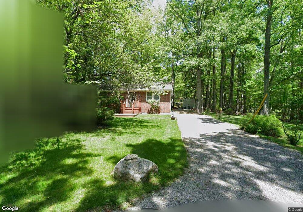
13 E Beach Dr Newton, NJ 07860
Estimated Value: $331,000 - $363,000
Studio
--
Bath
1,020
Sq Ft
$341/Sq Ft
Est. Value
About This Home
This home is located at 13 E Beach Dr, Newton, NJ 07860 and is currently estimated at $347,509, approximately $340 per square foot. 13 E Beach Dr is a home located in Sussex County with nearby schools including Marian E. McKeown School and Kittatinny Regional High School.
Ownership History
Date
Name
Owned For
Owner Type
Purchase Details
Closed on
Dec 14, 2004
Sold by
Saragusa Gasper
Bought by
Dalton Mark Joseph and Dalton Deborah Lynn
Current Estimated Value
Purchase Details
Closed on
Dec 19, 2002
Sold by
Rivero Judith
Bought by
Saragusa Gasper
Home Financials for this Owner
Home Financials are based on the most recent Mortgage that was taken out on this home.
Original Mortgage
$97,750
Interest Rate
7.6%
Create a Home Valuation Report for This Property
The Home Valuation Report is an in-depth analysis detailing your home's value as well as a comparison with similar homes in the area
Home Values in the Area
Average Home Value in this Area
Purchase History
| Date | Buyer | Sale Price | Title Company |
|---|---|---|---|
| Dalton Mark Joseph | $205,000 | -- | |
| Saragusa Gasper | $115,000 | -- |
Source: Public Records
Mortgage History
| Date | Status | Borrower | Loan Amount |
|---|---|---|---|
| Previous Owner | Saragusa Gasper | $97,750 |
Source: Public Records
Tax History
| Year | Tax Paid | Tax Assessment Tax Assessment Total Assessment is a certain percentage of the fair market value that is determined by local assessors to be the total taxable value of land and additions on the property. | Land | Improvement |
|---|---|---|---|---|
| 2025 | $5,975 | $179,000 | $57,600 | $121,400 |
| 2024 | $5,658 | $179,000 | $57,600 | $121,400 |
Source: Public Records
Map
Nearby Homes
- 40 E Shore Dr
- 15 Copeley Rd
- 27 Plaza Dr
- 24 Plaza Dr
- 000 Pepperidge Dr
- 121 W Shore Dr
- 903 Aspen Ct
- 68 W Shore Dr
- 31 Kent Rd
- 901 Chestnut Path
- 90 Kemah Mecca Lake Rd
- 17 17 West Owassa Tnpk
- 239 E Shore Lake Owassa Rd
- 0 Mount Benevolence Rd
- 4 Grove St
- 40 Martin Ln
- 00 Plymouth Lake Dr
- 15 Ike Williams Rd
- 61 E Shore Lake Owassa Rd
- 25 County Road 521
- 15 E Beach Dr
- 12 Juniper Ln
- 43 Glenbrook Dr
- 12 E Beach Dr
- 45 Glenbrook Dr
- 8 Juniper Ln
- 4 Westbrook Ln
- 48 Glenbrook Dr
- 49 Glenbrook Dr
- 44 Glenbrook Dr
- 5 Juniper Ln
- 4 Juniper Ln
- 52 Glenbrook Dr
- 6 Westbrook Ln
- 54 Glenbrook Dr
- 51 Glenbrook Dr
- 18 E Beach Dr
- 47 Lone Pine Trail
- 39 Lone Pine Trail
- 5 Chance Way
Your Personal Tour Guide
Ask me questions while you tour the home.