13 Evans Hill Rd Sherman, CT 06784
Estimated Value: $340,271
About This Home
This home is located at 13 Evans Hill Rd, Sherman, CT 06784 and is currently estimated at $340,271, approximately $182 per square foot. 13 Evans Hill Rd is a home located in Fairfield County with nearby schools including Sherman School.
Ownership History
We collect this data history from publicly available records. To have your information removed, we recommend requesting removal directly through your county’s website.
Purchase Details
Purchase Details
Home Values in the Area
Average Home Value in this Area
Purchase History
We collect this data history from publicly available records. To have your information removed, we recommend requesting removal directly through your county’s website.
| Date | Buyer | Sale Price | Title Company |
|---|---|---|---|
| -- | -- | ||
| $115,000 | -- |
Mortgage History
We collect this data history from publicly available records. To have your information removed, we recommend requesting removal directly through your county’s website.
| Date | Status | Borrower | Loan Amount |
|---|---|---|---|
| Previous Owner | $75,000 |
Tax History
We collect this data history from publicly available records. To have your information removed, we recommend requesting removal directly through your county’s website.
| Year | Tax Paid | Tax Assessment Tax Assessment Total Assessment is a certain percentage of the fair market value that is determined by local assessors to be the total taxable value of land and additions on the property. | Land | Improvement |
|---|---|---|---|---|
| 2025 | $2,652 | $159,100 | $159,100 | $0 |
| 2024 | $2,603 | $159,100 | $159,100 | $0 |
| 2023 | $2,835 | $159,100 | $159,100 | $0 |
| 2022 | $2,892 | $159,100 | $159,100 | $0 |
| 2021 | $2,073 | $111,200 | $111,200 | $0 |
| 2020 | $2,125 | $111,200 | $111,200 | $0 |
| 2019 | $2,203 | $111,200 | $111,200 | $0 |
| 2018 | $2,082 | $102,400 | $102,400 | $0 |
| 2017 | $2,082 | $102,400 | $102,400 | $0 |
| 2016 | $2,082 | $102,410 | $102,410 | $0 |
| 2015 | $2,052 | $102,410 | $102,410 | $0 |
| 2014 | $2,032 | $102,410 | $102,410 | $0 |
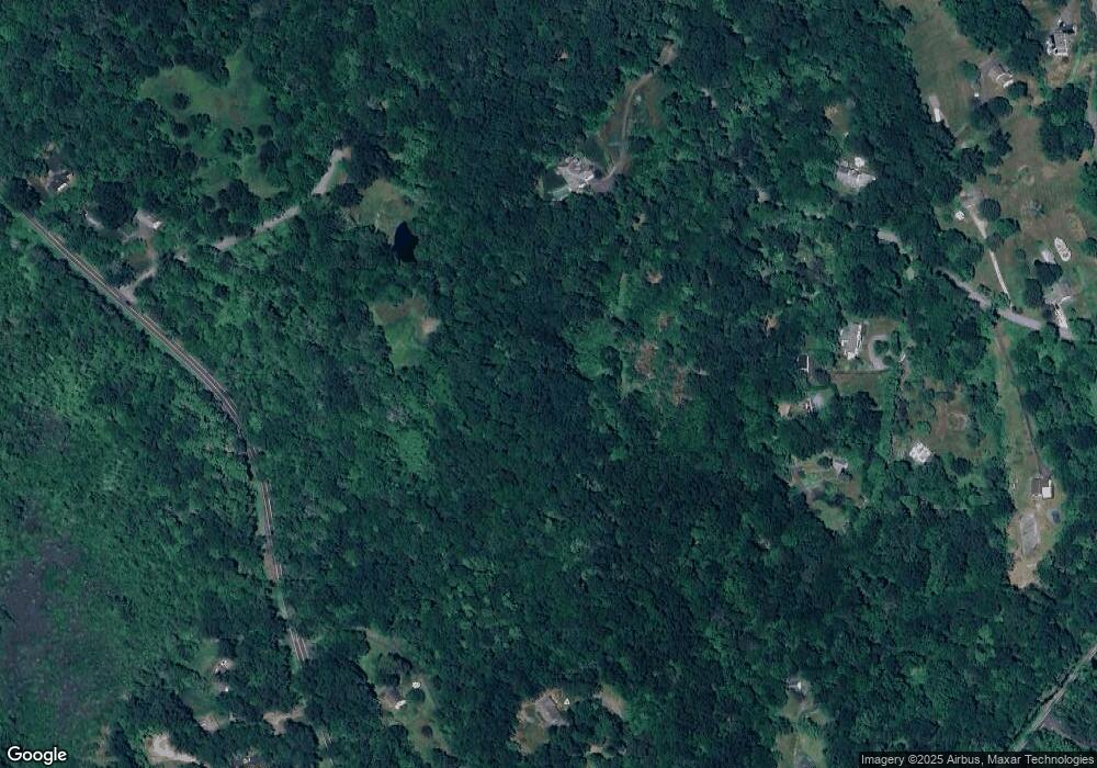
Map
- 57 Colonial Ridge Dr
- 2 Pond View Ln
- 4 Pond View Ln
- 41 Long River Rd
- 28 Colonial Ridge Dr
- 60 Long River Rd
- 27 Smoke Ridge Dr
- 40 Long River Rd
- 4,10,12 River Oaks Ln
- 16 Hall Ln
- 6 River Bend Ln
- 692 Kent Rd
- 7 Anderson Rd E
- 6 Hoyt Rd
- 50 Meadowland Dr
- 52 S Kent Rd
- 00 Anderson Rd
- 23 Front of the Mountain Rd
- 24 Cedar Hill Rd
- 34 Front of the Mountain Rd
- 8 Blackberry Ln
- 25 Evans Hill Rd
- 6 Blackberry Ln
- 9 Evans Hill Rd
- 2 Blackberry Ln
- 14 Evans Hill Rd
- 18 Route 55 W
- 1 Blackberry Ln
- 37 Route 55 W
- 44 Evans Hill Rd
- 10 Blackberry Ln
- 21 Evans Hill Rd
- 15 Evans Hill Rd
- 33 Route 55 W
- 8 Evans Hill Rd
- 14 Route 55 W
- 18 Evans Hill Rd
- 6 Evans Hill Rd
- 5 Evans Hill Rd
- 31 Route 55 W
Ask me questions while you tour the home.