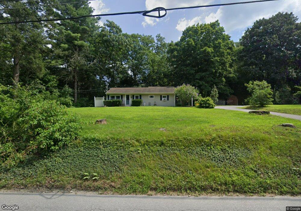
13 Maynard Rd Brooklyn, CT 06234
Brooklyn NeighborhoodEstimated Value: $268,000 - $314,000
3
Beds
2
Baths
904
Sq Ft
$333/Sq Ft
Est. Value
About This Home
This home is located at 13 Maynard Rd, Brooklyn, CT 06234 and is currently estimated at $300,886, approximately $332 per square foot. 13 Maynard Rd is a home located in Windham County with nearby schools including Brooklyn Elementary School and Brooklyn Middle School.
Ownership History
Date
Name
Owned For
Owner Type
Purchase Details
Closed on
May 22, 2003
Sold by
Surprenant Roland E and Surprenant Rudolph
Bought by
Roberts Jean F
Current Estimated Value
Home Financials for this Owner
Home Financials are based on the most recent Mortgage that was taken out on this home.
Original Mortgage
$119,000
Outstanding Balance
$51,983
Interest Rate
5.86%
Estimated Equity
$248,903
Create a Home Valuation Report for This Property
The Home Valuation Report is an in-depth analysis detailing your home's value as well as a comparison with similar homes in the area
Home Values in the Area
Average Home Value in this Area
Purchase History
| Date | Buyer | Sale Price | Title Company |
|---|---|---|---|
| Roberts Jean F | $120,000 | -- | |
| Roberts Jean F | $120,000 | -- |
Source: Public Records
Mortgage History
| Date | Status | Borrower | Loan Amount |
|---|---|---|---|
| Open | Roberts Jean F | $119,000 | |
| Closed | Roberts Jean F | $119,000 |
Source: Public Records
Tax History
| Year | Tax Paid | Tax Assessment Tax Assessment Total Assessment is a certain percentage of the fair market value that is determined by local assessors to be the total taxable value of land and additions on the property. | Land | Improvement |
|---|---|---|---|---|
| 2025 | $3,717 | $159,670 | $31,050 | $128,620 |
| 2024 | $3,084 | $104,400 | $24,800 | $79,600 |
| 2023 | $2,986 | $104,400 | $24,800 | $79,600 |
| 2022 | $2,869 | $104,400 | $24,800 | $79,600 |
| 2021 | $2,758 | $104,400 | $24,800 | $79,600 |
| 2020 | $4,028 | $87,600 | $30,600 | $57,000 |
| 2019 | $1,196 | $87,600 | $30,600 | $57,000 |
| 2018 | $3,459 | $87,600 | $30,600 | $57,000 |
| 2017 | $1,110 | $87,600 | $30,600 | $57,000 |
| 2016 | $2,307 | $87,600 | $30,600 | $57,000 |
| 2015 | $2,392 | $102,100 | $39,100 | $63,000 |
| 2014 | $2,392 | $102,100 | $39,100 | $63,000 |
Source: Public Records
Map
Nearby Homes
- 379 Christian Hill Rd
- 0 Wauregan Rd NE Unit 24143170
- 46-52 Wauregan Rd
- 30 S Walnut St
- 44-46 S Chestnut St
- 365-367 Putnam Rd
- 79 All Hallows Rd
- 101 All Hallows Rd
- 22 Jolley Rd
- 170 Putnam Rd
- 33 Junior Ave
- 0 Green Hollow Rd
- 25 Putnam Rd
- 277 Moosup Pond Rd
- 0 Putnam Rd Unit 24147722
- 25 Torrey Ln
- 230 Bailey Woods Rd
- 30 Main St
- 10 Texas Heights Rd
- 251 Wauregan Rd
- 21 Maynard Rd
- 18 Maynard Rd
- 3 Maynard Rd
- 24 Maynard Rd
- 377 Christian Hill Rd
- 35 Maynard Rd
- 00 Wauregan Rd
- 387 Christian Hill Rd
- 680 Wauregan Rd
- 34 Maynard Rd
- 678 Wauregan Rd
- 688 Wauregan Rd
- 375 Christian Hill Rd
- 671 Wauregan Rd
- 674 Wauregan Rd
- 28 Maynard Rd
- 373 Christian Hill Rd
- 670 Wauregan Rd
- 665 Wauregan Rd
- 382 Christian Hill Rd
Your Personal Tour Guide
Ask me questions while you tour the home.