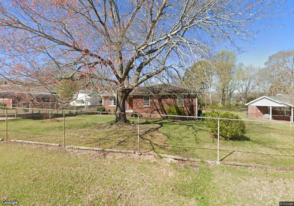
13 Poplar St Honea Path, SC 29654
Estimated Value: $104,895 - $219,000
3
Beds
--
Bath
1,351
Sq Ft
$123/Sq Ft
Est. Value
About This Home
This home is located at 13 Poplar St, Honea Path, SC 29654 and is currently estimated at $166,474, approximately $123 per square foot. 13 Poplar St is a home located in Anderson County with nearby schools including Belton Honea Path High School and Whispering Pines Mennonite School.
Ownership History
Date
Name
Owned For
Owner Type
Purchase Details
Closed on
Nov 19, 2015
Sold by
Granger Connie W and Bannister Donna W
Bought by
Watson Diane
Current Estimated Value
Home Financials for this Owner
Home Financials are based on the most recent Mortgage that was taken out on this home.
Original Mortgage
$55,000
Outstanding Balance
$42,523
Interest Rate
3.78%
Mortgage Type
New Conventional
Estimated Equity
$123,951
Purchase Details
Closed on
Oct 14, 2015
Sold by
Estate Of Henry D Watson and Foster Debra A
Bought by
Watson Diane and Granger Connie W
Home Financials for this Owner
Home Financials are based on the most recent Mortgage that was taken out on this home.
Original Mortgage
$55,000
Outstanding Balance
$42,523
Interest Rate
3.78%
Mortgage Type
New Conventional
Estimated Equity
$123,951
Create a Home Valuation Report for This Property
The Home Valuation Report is an in-depth analysis detailing your home's value as well as a comparison with similar homes in the area
Home Values in the Area
Average Home Value in this Area
Purchase History
| Date | Buyer | Sale Price | Title Company |
|---|---|---|---|
| Watson Diane | $46,250 | -- | |
| Watson Diane | -- | -- |
Source: Public Records
Mortgage History
| Date | Status | Borrower | Loan Amount |
|---|---|---|---|
| Open | Watson Diane | $55,000 |
Source: Public Records
Tax History
| Year | Tax Paid | Tax Assessment Tax Assessment Total Assessment is a certain percentage of the fair market value that is determined by local assessors to be the total taxable value of land and additions on the property. | Land | Improvement |
|---|---|---|---|---|
| 2025 | $40 | $2,110 | $560 | $1,550 |
| 2024 | $40 | $2,110 | $560 | $1,550 |
| 2023 | $40 | $2,110 | $560 | $1,550 |
| 2022 | $40 | $2,110 | $560 | $1,550 |
| 2021 | $40 | $1,990 | $520 | $1,470 |
| 2020 | $40 | $1,990 | $520 | $1,470 |
| 2019 | $40 | $1,990 | $520 | $1,470 |
| 2018 | $40 | $1,990 | $520 | $1,470 |
| 2017 | -- | $1,990 | $520 | $1,470 |
| 2016 | $40 | $3,330 | $320 | $3,010 |
| 2015 | $241 | $3,330 | $320 | $3,010 |
| 2014 | $243 | $3,330 | $320 | $3,010 |
Source: Public Records
Map
Nearby Homes
- 701 W Greer St
- 310 Oak Dr
- 7 Carlisle Dr
- 417 N Main St
- 511 N Main St
- 00 Brook St
- 600 N Main St
- 5 George St
- 00 Ervin St
- 104 Albert Dr
- 107 Brookside Cir
- 1 E McGee St
- 302 W Hampton Ave
- 704 Sherwood Ave
- 11306 Belton Honea Path Hwy
- 673 N Hwy 178
- 203 Orr St
- 108 W Hampton Ave
- 229 Armstrong Rd
- 305 Tribble St
Your Personal Tour Guide
Ask me questions while you tour the home.