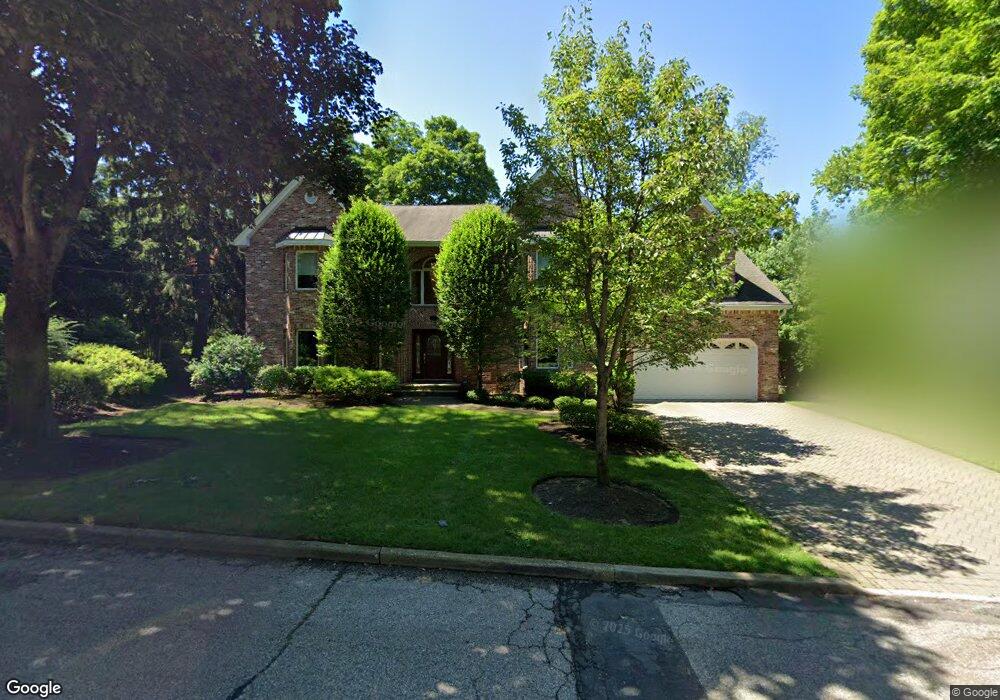
13 Robin Rd Demarest, NJ 07627
Estimated Value: $2,423,000 - $2,661,000
Studio
--
Bath
4,656
Sq Ft
$539/Sq Ft
Est. Value
About This Home
This home is located at 13 Robin Rd, Demarest, NJ 07627 and is currently estimated at $2,510,519, approximately $539 per square foot. 13 Robin Rd is a home located in Bergen County with nearby schools including County Road Elementary School, Demarest Middle School, and Luther Lee Emerson Elementary School.
Ownership History
Date
Name
Owned For
Owner Type
Purchase Details
Closed on
Jul 29, 2015
Sold by
Cho Jay W and Kim Gloria
Bought by
The Ryal Family Revocable Trust and Kim Gloria Min Jung
Current Estimated Value
Purchase Details
Closed on
Mar 29, 2012
Sold by
Verna Mario F and Verna Sheila
Bought by
Kim Gloria M and Cho Jay W
Home Financials for this Owner
Home Financials are based on the most recent Mortgage that was taken out on this home.
Original Mortgage
$997,500
Interest Rate
3.91%
Mortgage Type
Stand Alone Refi Refinance Of Original Loan
Purchase Details
Closed on
Feb 12, 2002
Sold by
Crimins James V
Bought by
Verna Mario F
Home Financials for this Owner
Home Financials are based on the most recent Mortgage that was taken out on this home.
Original Mortgage
$700,000
Interest Rate
6.91%
Purchase Details
Closed on
Jan 31, 2001
Sold by
Tracey Susan M
Bought by
Crimmins James V
Create a Home Valuation Report for This Property
The Home Valuation Report is an in-depth analysis detailing your home's value as well as a comparison with similar homes in the area
Home Values in the Area
Average Home Value in this Area
Purchase History
| Date | Buyer | Sale Price | Title Company |
|---|---|---|---|
| The Ryal Family Revocable Trust | -- | Landstar Title | |
| Kim Gloria M | $1,425,000 | -- | |
| Verna Mario F | $1,130,000 | -- | |
| Crimmins James V | $360,000 | -- | |
| Crimmins James V | $360,000 | -- |
Source: Public Records
Mortgage History
| Date | Status | Borrower | Loan Amount |
|---|---|---|---|
| Previous Owner | Kim Gloria M | $997,500 | |
| Previous Owner | Verna Mario F | $700,000 |
Source: Public Records
Tax History
| Year | Tax Paid | Tax Assessment Tax Assessment Total Assessment is a certain percentage of the fair market value that is determined by local assessors to be the total taxable value of land and additions on the property. | Land | Improvement |
|---|---|---|---|---|
| 2025 | $36,708 | $2,126,100 | $742,400 | $1,383,700 |
| 2024 | $35,039 | $1,200,800 | $421,200 | $779,600 |
| 2023 | $34,091 | $1,200,800 | $421,200 | $779,600 |
| 2022 | $34,091 | $1,200,800 | $421,200 | $779,600 |
| 2021 | $33,250 | $1,200,800 | $421,200 | $779,600 |
| 2020 | $32,470 | $1,200,800 | $421,200 | $779,600 |
| 2019 | $31,533 | $1,200,800 | $421,200 | $779,600 |
| 2018 | $30,560 | $1,200,800 | $421,200 | $779,600 |
| 2017 | $29,828 | $1,200,800 | $421,200 | $779,600 |
| 2016 | $29,360 | $1,200,800 | $421,200 | $779,600 |
| 2015 | $28,963 | $1,200,800 | $421,200 | $779,600 |
| 2014 | $28,339 | $1,200,800 | $421,200 | $779,600 |
Source: Public Records
Map
Nearby Homes
Your Personal Tour Guide
Ask me questions while you tour the home.