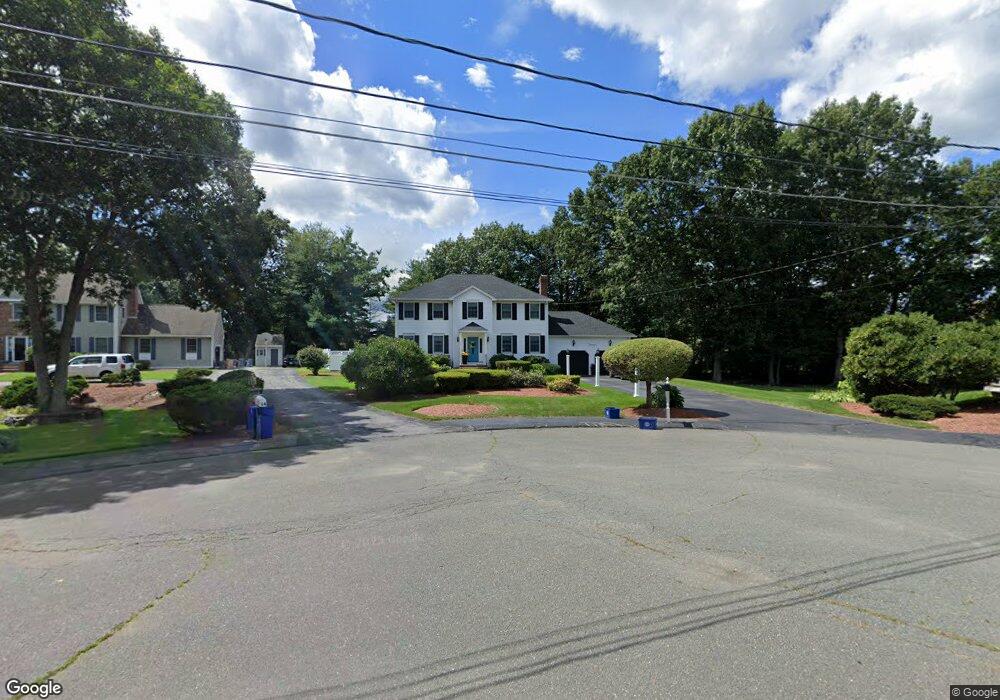
13 Windsor Cir Woburn, MA 01801
Cummingsville NeighborhoodEstimated Value: $954,000 - $1,253,000
4
Beds
3
Baths
2,280
Sq Ft
$490/Sq Ft
Est. Value
About This Home
This home is located at 13 Windsor Cir, Woburn, MA 01801 and is currently estimated at $1,117,893, approximately $490 per square foot. 13 Windsor Cir is a home located in Middlesex County with nearby schools including Reeves Elementary School, Daniel L. Joyce Middle School, and Woburn High School.
Ownership History
Date
Name
Owned For
Owner Type
Purchase Details
Closed on
Mar 15, 1993
Sold by
Clair Thomas F and Swymerr Mark F
Bought by
Philbrick Dennis L and Philbrick Deborah B
Current Estimated Value
Create a Home Valuation Report for This Property
The Home Valuation Report is an in-depth analysis detailing your home's value as well as a comparison with similar homes in the area
Home Values in the Area
Average Home Value in this Area
Purchase History
We collect this data history from publicly available records. To have your information removed, we recommend requesting removal directly through your county’s website.
| Date | Buyer | Sale Price | Title Company |
|---|---|---|---|
| Philbrick Dennis L | $255,800 | -- |
Source: Public Records
Mortgage History
We collect this data history from publicly available records. To have your information removed, we recommend requesting removal directly through your county’s website.
| Date | Status | Borrower | Loan Amount |
|---|---|---|---|
| Open | Philbrick Dennis L | $125,000 | |
| Closed | Philbrick Dennis L | $168,000 | |
| Closed | Philbrick Dennis L | $180,000 | |
| Closed | Philbrick Dennis L | $165,000 |
Source: Public Records
Tax History
| Year | Tax Paid | Tax Assessment Tax Assessment Total Assessment is a certain percentage of the fair market value that is determined by local assessors to be the total taxable value of land and additions on the property. | Land | Improvement |
|---|---|---|---|---|
| 2025 | $8,832 | $1,034,200 | $422,000 | $612,200 |
| 2024 | $8,158 | $1,012,100 | $402,100 | $610,000 |
| 2023 | $7,955 | $914,400 | $365,500 | $548,900 |
| 2022 | $7,789 | $833,900 | $318,300 | $515,600 |
| 2021 | $8,703 | $802,200 | $303,300 | $498,900 |
| 2020 | $7,007 | $751,800 | $303,300 | $448,500 |
| 2019 | $8,205 | $717,900 | $289,000 | $428,900 |
| 2018 | $6,646 | $672,000 | $275,900 | $396,100 |
| 2017 | $6,172 | $620,900 | $263,000 | $357,900 |
| 2016 | $5,904 | $587,500 | $246,000 | $341,500 |
| 2015 | $5,702 | $560,700 | $230,100 | $330,600 |
| 2014 | $5,757 | $551,400 | $247,500 | $303,900 |
Source: Public Records
Map
Nearby Homes
- 14 Liana St
- 27 Samoset Rd
- 7 Parliament Ln
- 192 Lexington St
- 25 Cambridge Rd
- 36C Seven Springs Ln Unit 36C
- 253 Lexington St
- 23 Thoreau Rd
- 19 Douglas Rd
- 38 Courtyard Place Unit 38
- 38 Courtyard Place
- 23 Burroughs Rd
- 14 Thoreau Rd
- 23 Day Cir
- 38 Waltham St
- 2 Westwood Rd
- 1 Maureen Rd
- 4 Westwood Rd
- 47 Willow St
- 13 Paddock Ln Unit 13
- 11 Windsor Cir
- 14 Windsor Cir
- 12 Windsor Cir
- 9 Windsor Cir
- 32 Stevin Dr
- 11 Kendall's Unit 11
- 3 Matthew Place
- 30 Stevin Dr
- 28 Stevin Dr
- 6 Saw Mill Brook Way
- 6 Saw Mill Brook Way Unit 6
- 111 Green St
- 17 Vine Brook Way
- 16 Vine Brook Way
- 15 Vine Brook Way
- 14 Vine Brook Way
- 13 Vine Brook Way
- 12 Vine Brook Way
- 11 Vine Brook Way
- 10 Vine Brook Way
Your Personal Tour Guide
Ask me questions while you tour the home.