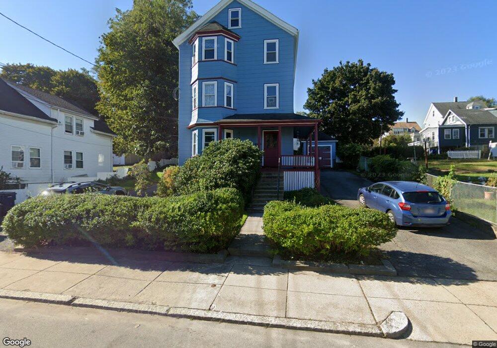
130 Cornell St Unit 2 Roslindale, MA 02131
Roslindale NeighborhoodEstimated Value: $473,000 - $639,000
2
Beds
1
Bath
99,999
Sq Ft
$5/Sq Ft
Est. Value
About This Home
This home is located at 130 Cornell St Unit 2, Roslindale, MA 02131 and is currently estimated at $523,286, approximately $5 per square foot. 130 Cornell St Unit 2 is a home located in Suffolk County with nearby schools including Brooke Charter School Roslindale, Sacred Heart STEM School, and St. Clare High School.
Ownership History
Date
Name
Owned For
Owner Type
Purchase Details
Closed on
Oct 22, 2004
Sold by
Cornell St Condo 130
Bought by
Pattison Laura B
Current Estimated Value
Home Financials for this Owner
Home Financials are based on the most recent Mortgage that was taken out on this home.
Original Mortgage
$255,000
Outstanding Balance
$126,965
Interest Rate
5.85%
Mortgage Type
Purchase Money Mortgage
Estimated Equity
$396,321
Create a Home Valuation Report for This Property
The Home Valuation Report is an in-depth analysis detailing your home's value as well as a comparison with similar homes in the area
Home Values in the Area
Average Home Value in this Area
Purchase History
We collect this data history from publicly available records. To have your information removed, we recommend requesting removal directly through your county’s website.
| Date | Buyer | Sale Price | Title Company |
|---|---|---|---|
| Pattison Laura B | $305,000 | -- |
Source: Public Records
Mortgage History
We collect this data history from publicly available records. To have your information removed, we recommend requesting removal directly through your county’s website.
| Date | Status | Borrower | Loan Amount |
|---|---|---|---|
| Open | Pattison Laura B | $255,000 |
Source: Public Records
Tax History
| Year | Tax Paid | Tax Assessment Tax Assessment Total Assessment is a certain percentage of the fair market value that is determined by local assessors to be the total taxable value of land and additions on the property. | Land | Improvement |
|---|---|---|---|---|
| 2025 | $5,042 | $435,400 | $0 | $435,400 |
| 2024 | $4,161 | $381,700 | $0 | $381,700 |
| 2023 | $3,902 | $363,300 | $0 | $363,300 |
| 2022 | $3,694 | $339,500 | $0 | $339,500 |
| 2021 | $3,224 | $302,200 | $0 | $302,200 |
| 2020 | $3,258 | $308,500 | $0 | $308,500 |
| 2019 | $3,096 | $293,700 | $0 | $293,700 |
| 2018 | $3,078 | $293,700 | $0 | $293,700 |
| 2017 | $2,962 | $279,700 | $0 | $279,700 |
| 2016 | $2,797 | $254,300 | $0 | $254,300 |
| 2015 | $2,624 | $216,700 | $0 | $216,700 |
| 2014 | $2,546 | $202,400 | $0 | $202,400 |
Source: Public Records
Map
Nearby Homes
- 5 7 Hemman St
- 9 June St Unit 2
- 9 June St Unit 1
- 29 Denton Terrace
- 498 Beech St
- 60-62 Wellsmere Rd Unit 2
- 60-62 Wellsmere Rd Unit 3
- 60-62 Wellsmere Rd Unit 1
- 142 Metropolitan Ave Unit 2
- 142 Metropolitan Ave Unit 1
- 142 Metropolitan Ave
- 9 Cedrus Ave
- 55 Metropolitan Ave
- 338 Beech St
- 196 Durnell Ave Unit 196
- 95 Orange St
- 567 Poplar St
- 778 W Roxbury Pkwy
- 146 Poplar St
- 15 Hillock St Unit 2
- 130 Cornell St Unit 3
- 130 Cornell St Unit 1
- 130 Cornell St Unit 2,130
- 130 Cornell St Unit 1,130
- 128 Cornell St
- 122 Cornell St
- 292 Kittredge St
- 124 Cornell St
- 294 Kittredge St
- 118 Cornell St
- 133 Cornell St
- 129 Cornell St
- 127 Cornell St
- 123 Glendower Rd
- 123 Glendower Rd Unit 1
- 296 Kittredge St Unit 298
- 121 Glendower Rd
- 125 Cornell St
- 137 Cornell St
- 137 Cornell St Unit 2
Your Personal Tour Guide
Ask me questions while you tour the home.