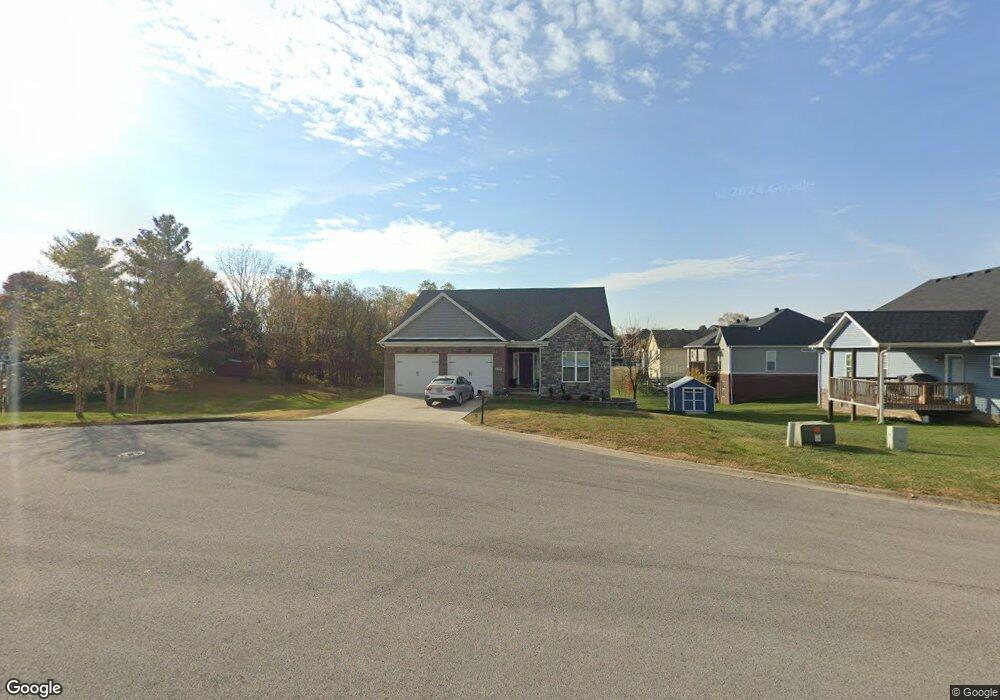
130 Lost Tree Dr Georgetown, KY 40324
Estimated Value: $380,824 - $417,000
3
Beds
2
Baths
1,867
Sq Ft
$215/Sq Ft
Est. Value
About This Home
This home is located at 130 Lost Tree Dr, Georgetown, KY 40324 and is currently estimated at $401,706, approximately $215 per square foot. 130 Lost Tree Dr is a home located in Scott County with nearby schools including Stamping Ground Elementary School, Royal Spring Middle School, and Scott County High School.
Ownership History
Date
Name
Owned For
Owner Type
Purchase Details
Closed on
May 1, 2020
Sold by
New Haven Homes Llc
Bought by
Mcneal Eddie L and Mcneal Johnella M
Current Estimated Value
Home Financials for this Owner
Home Financials are based on the most recent Mortgage that was taken out on this home.
Original Mortgage
$270,695
Outstanding Balance
$239,170
Interest Rate
3.6%
Mortgage Type
FHA
Estimated Equity
$162,536
Purchase Details
Closed on
Jun 17, 2015
Sold by
Matherly Robert and Matherly Julie
Bought by
Moore Marsha Miller
Create a Home Valuation Report for This Property
The Home Valuation Report is an in-depth analysis detailing your home's value as well as a comparison with similar homes in the area
Purchase History
We collect this data history from publicly available records. To have your information removed, we recommend requesting removal directly through your county’s website.
| Date | Buyer | Sale Price | Title Company |
|---|---|---|---|
| Mcneal Eddie L | $295,600 | Bluegrass Land Title Llc | |
| Moore Marsha Miller | $5,000 | Attorney |
Source: Public Records
Mortgage History
We collect this data history from publicly available records. To have your information removed, we recommend requesting removal directly through your county’s website.
| Date | Status | Borrower | Loan Amount |
|---|---|---|---|
| Open | Mcneal Eddie L | $270,695 |
Source: Public Records
Tax History
| Year | Tax Paid | Tax Assessment Tax Assessment Total Assessment is a certain percentage of the fair market value that is determined by local assessors to be the total taxable value of land and additions on the property. | Land | Improvement |
|---|---|---|---|---|
| 2025 | $2,956 | $331,900 | $0 | $0 |
| 2024 | $2,658 | $295,600 | $0 | $0 |
| 2023 | $2,680 | $295,600 | $30,000 | $265,600 |
| 2022 | $2,513 | $295,600 | $30,000 | $265,600 |
| 2021 | $2,592 | $295,600 | $30,000 | $265,600 |
| 2020 | $236 | $27,500 | $27,500 | $0 |
| 2019 | $196 | $27,500 | $0 | $0 |
| 2018 | $195 | $22,500 | $0 | $0 |
| 2017 | $196 | $22,500 | $0 | $0 |
| 2016 | $181 | $22,500 | $0 | $0 |
| 2015 | $180 | $22,500 | $0 | $0 |
| 2014 | $172 | $22,500 | $0 | $0 |
| 2011 | $245 | $33,636 | $0 | $0 |
Source: Public Records
Map
Nearby Homes
- 112 Lost Tree Dr
- 2033 Longview Dr
- 103 Windsong Way
- 102 Blowing Tree Dr
- 117 Windsong Way
- 112 Harp Ct
- 100 Harp Ct
- 2006 Longview Dr
- 112 Fairfield Farm Rd
- 115 Bold Bidder Dr
- 200 Victoria Way
- 101 Overlook Pass
- 115 Winding View Trail
- 2886 Frankfort Pike
- 169 Muir Ln
- 208 Craig Ln
- 364 Muir Ln
- 1208 White Oak Rd
- 629 Craig Ln
- 2553 Frankfort Pike
- 130 Lost Tree Dr Unit 198
- 120 Raccoon Run
- 118 Raccoon Run
- 132 Lost Tree Dr
- 116 Raccoon Run
- 2031 Longview Dr
- 129 Lost Tree Dr
- 127 Lost Tree Dr
- 131 Lost Tree Dr
- 121 Raccoon Run
- 114 Raccoon Run
- 122 Lost Tree Dr
- 119 Raccoon Run
- 125 Lost Tree Dr
- 117 Raccoon Run
- 117 Raccoon Run Unit 208
- 117 Raccoon Run Unit 190
- 123 Lost Tree Dr
- 115 Raccoon Run
- 115 Raccoon Run Unit 209
Your Personal Tour Guide
Ask me questions while you tour the home.