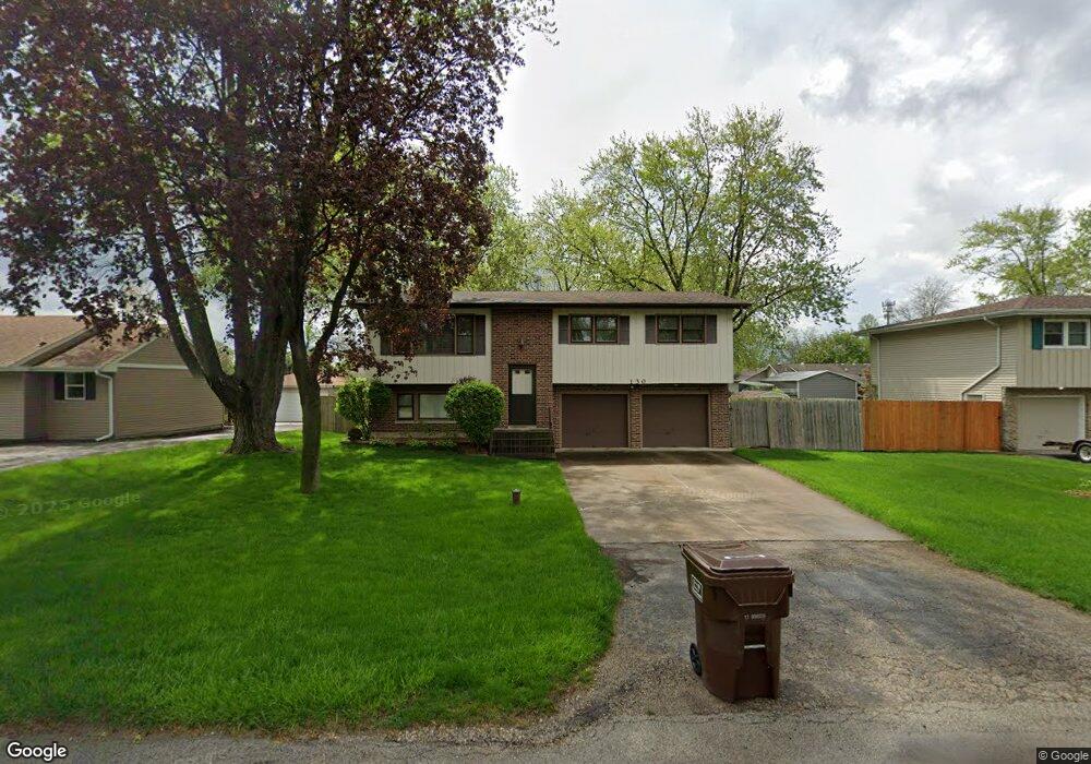
130 Michael Ln New Lenox, IL 60451
New Lenox AreaEstimated Value: $263,287 - $376,000
About This Home
This home is located at 130 Michael Ln, New Lenox, IL 60451 and is currently estimated at $318,572. 130 Michael Ln is a home located in Will County with nearby schools including Oster-Oakview School, Haines Elementary School, and Lincoln Way West.
Ownership History
We collect this data history from publicly available records. To have your information removed, we recommend requesting removal directly through your county’s website.
Purchase Details
Purchase Details
Purchase Details
Home Values in the Area
Average Home Value in this Area
Purchase History
We collect this data history from publicly available records. To have your information removed, we recommend requesting removal directly through your county’s website.
| Date | Buyer | Sale Price | Title Company |
|---|---|---|---|
| -- | -- | ||
| -- | -- | ||
| $135,000 | -- |
Mortgage History
We collect this data history from publicly available records. To have your information removed, we recommend requesting removal directly through your county’s website.
| Date | Status | Borrower | Loan Amount |
|---|---|---|---|
| Previous Owner | $82,500 | ||
| Previous Owner | $113,500 | ||
| Previous Owner | $110,000 |
Tax History
We collect this data history from publicly available records. To have your information removed, we recommend requesting removal directly through your county’s website.
| Year | Tax Paid | Tax Assessment Tax Assessment Total Assessment is a certain percentage of the fair market value that is determined by local assessors to be the total taxable value of land and additions on the property. | Land | Improvement |
|---|---|---|---|---|
| 2024 | $6,381 | $86,044 | $20,237 | $65,807 |
| 2023 | $6,106 | $78,436 | $18,448 | $59,988 |
| 2022 | $5,527 | $72,258 | $16,995 | $55,263 |
| 2021 | $5,236 | $67,956 | $15,983 | $51,973 |
| 2020 | $5,078 | $65,532 | $15,413 | $50,119 |
| 2019 | $4,851 | $63,500 | $14,935 | $48,565 |
| 2018 | $4,731 | $61,311 | $14,420 | $46,891 |
| 2017 | $4,484 | $59,548 | $14,005 | $45,543 |
| 2016 | $4,347 | $57,954 | $13,630 | $44,324 |
| 2015 | $4,174 | $56,130 | $13,201 | $42,929 |
| 2014 | $4,174 | $55,437 | $13,038 | $42,399 |
| 2013 | $4,174 | $56,185 | $13,214 | $42,971 |
Map
- 134 Michael Ln
- 000 N Cedar Rd
- Lot 207 N Cedar Rd
- 0 N Cedar Rd
- 335 Carol Rd
- 14047 W Maple Rd
- 12001 W Route 6
- 1999 Silver Cross Blvd
- 0 N Elm Dr Unit MRD12451984
- 209 Linden Oaks Ln
- 630 Gibbons Dr
- 0 Silver Cross Blvd
- 1301 Silver Cross Blvd
- 1605 S Regan Rd
- 14353 Summerfield Dr
- 13935 Elizabeth Ln
- 985 N Vine St
- 13621 W Maple Rd
- 18555 S Marilynn Ct
- 128 Gum St
- 124 Michael Ln
- 127 Branchaw Blvd
- 123 Branchaw Blvd
- 122 Michael Ln
- 138 Michael Ln
- 131 Branchaw Blvd
- 129 Michael Ln
- 125 Michael Ln
- 133 Michael Ln
- 118 Michael Ln
- 142 Michael Ln
- 121 Michael Ln
- 121 Michael Ln
- 137 Michael Ln
- 135 Branchaw Blvd
- 117 Michael Ln
- 114 Michael Ln
- 141 Michael Ln
- 146 Michael Ln
- 124 Terry Ellen Ln
Ask me questions while you tour the home.