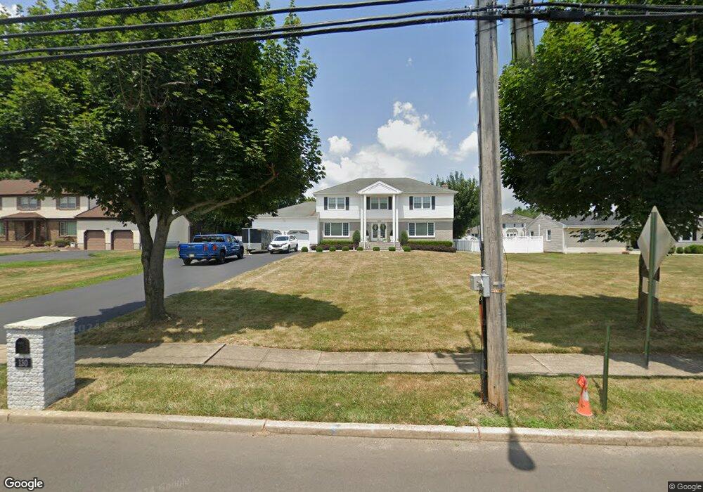
130 Wyncrest Rd Marlboro, NJ 07746
Marlboro AreaEstimated Value: $966,000 - $1,046,000
About This Home
This home is located at 130 Wyncrest Rd, Marlboro, NJ 07746 and is currently estimated at $1,018,126, approximately $323 per square foot. 130 Wyncrest Rd is a home located in Monmouth County with nearby schools including Frank J. Dugan Elementary School, Marlboro Middle School, and Marlboro High School.
Ownership History
We collect this data history from publicly available records. To have your information removed, we recommend requesting removal directly through your county’s website.
Purchase Details
Home Values in the Area
Average Home Value in this Area
Purchase History
We collect this data history from publicly available records. To have your information removed, we recommend requesting removal directly through your county’s website.
| Date | Buyer | Sale Price | Title Company |
|---|---|---|---|
| $267,000 | -- |
Tax History
We collect this data history from publicly available records. To have your information removed, we recommend requesting removal directly through your county’s website.
| Year | Tax Paid | Tax Assessment Tax Assessment Total Assessment is a certain percentage of the fair market value that is determined by local assessors to be the total taxable value of land and additions on the property. | Land | Improvement |
|---|---|---|---|---|
| 2026 | $13,820 | $529,300 | $145,600 | $383,700 |
| 2025 | $13,820 | $529,300 | $145,600 | $383,700 |
| 2024 | $12,619 | $529,300 | $145,600 | $383,700 |
| 2023 | $12,619 | $529,300 | $145,600 | $383,700 |
| 2022 | $12,296 | $529,300 | $145,600 | $383,700 |
| 2021 | $12,174 | $529,300 | $145,600 | $383,700 |
| 2020 | $12,169 | $529,300 | $145,600 | $383,700 |
| 2019 | $12,174 | $529,300 | $145,600 | $383,700 |
| 2018 | $11,967 | $529,300 | $145,600 | $383,700 |
| 2017 | $11,735 | $529,300 | $145,600 | $383,700 |
| 2016 | $11,687 | $529,300 | $145,600 | $383,700 |
| 2015 | $11,297 | $519,400 | $145,600 | $373,800 |
| 2014 | $11,091 | $504,600 | $145,600 | $359,000 |
Map
- 9 Nancy Rd
- 34 Brookside Cir
- 4 Canadian Woods Rd
- 12 Memorial Rd
- 24 Abbey Ln
- 6 Hudson Bay Terrace
- 43 Homestead Cir
- 90 Caldwell Terrace
- 7 Abbey Ln
- 5 Brookside Cir
- 4 Hampton Dr
- 29 Peasley Dr
- 72 Clubhouse Ln
- 19 Hampton Dr
- 6 Geanne Way
- 11 Hansom Ln
- 5 St Lawrence Way
- 3 St Lawrence Way
- 2 Micki Terrace
- 19 Prescott Dr
Ask me questions while you tour the home.