13000 Vischer Rd Unit BLK Addison, MI 49220
Estimated Value: $400,729 - $434,000
3
Beds
3
Baths
1,810
Sq Ft
$233/Sq Ft
Est. Value
About This Home
This home is located at 13000 Vischer Rd Unit BLK, Addison, MI 49220 and is currently estimated at $421,910, approximately $233 per square foot. 13000 Vischer Rd Unit BLK is a home located in Lenawee County with nearby schools including Onsted Elementary School, Onsted Middle School, and Onsted Community High School.
Ownership History
Date
Name
Owned For
Owner Type
Purchase Details
Closed on
May 17, 2018
Sold by
Decker 2Nd James C and Decker Kathryn J
Bought by
Kathryn J Decker T
Current Estimated Value
Purchase Details
Closed on
Jun 11, 2014
Sold by
Vischer Robert P and Vischer Janice K
Bought by
Vischer Harold H and Vischer Christie K
Purchase Details
Closed on
May 29, 1996
Bought by
Decker James C and Kathryn Ii J,
Create a Home Valuation Report for This Property
The Home Valuation Report is an in-depth analysis detailing your home's value as well as a comparison with similar homes in the area
Purchase History
| Date | Buyer | Sale Price | Title Company |
|---|---|---|---|
| Kathryn J Decker T | -- | -- | |
| Vischer Harold H | -- | None Available | |
| Decker James C | $13,500 | -- |
Source: Public Records
Tax History
| Year | Tax Paid | Tax Assessment Tax Assessment Total Assessment is a certain percentage of the fair market value that is determined by local assessors to be the total taxable value of land and additions on the property. | Land | Improvement |
|---|---|---|---|---|
| 2025 | $3,327 | $183,700 | $0 | $0 |
| 2024 | $14 | $175,300 | $0 | $0 |
| 2023 | -- | $153,300 | $0 | $0 |
| 2022 | $3,002 | $134,800 | $0 | $0 |
| 2021 | $2,995 | $132,500 | $0 | $0 |
| 2020 | $2,845 | $105,200 | $0 | $0 |
| 2019 | $443,846 | $105,200 | $0 | $0 |
| 2018 | $4,048 | $119,185 | $0 | $0 |
| 2017 | $3,852 | $121,479 | $0 | $0 |
| 2016 | $3,826 | $120,868 | $0 | $0 |
| 2014 | -- | $116,138 | $0 | $0 |
Source: Public Records
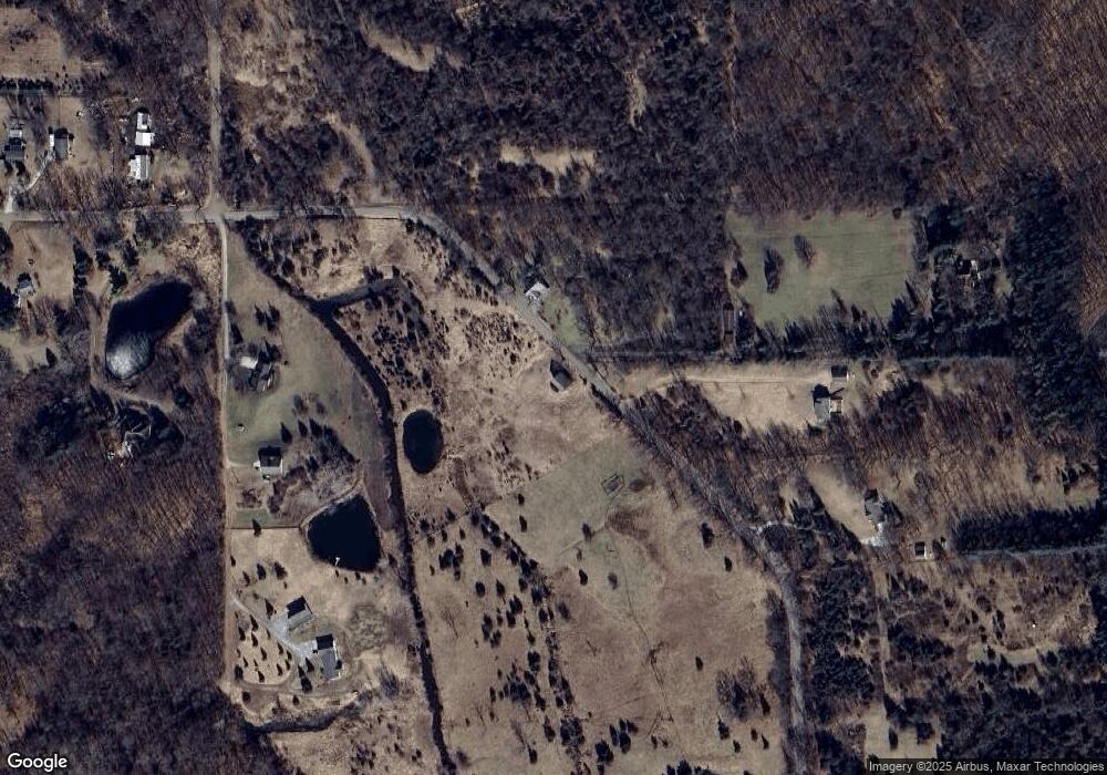
Map
Nearby Homes
- 13161 Vischer Rd
- Lot 62 Pamawa Dr
- 61 Pamawa Dr
- 753 Vaniman Island Dr
- 9304 Parkhurst Hwy
- 8000 Parkhurst Hwy Unit Carroll Dr ((1175)
- 10911 Devils Lake Hwy
- 5935 Tower Dr
- 10902 Devils Lake Hwy
- 15281 U S 12
- 6797 Devils Lake Hwy
- 6820 Devils Lake Hwy
- 6000 Devils Lake Hwy
- 7841 Devils Lake Hwy
- 228 Oak Grove Dr
- 4276 Echo Cove
- 0 Silver Lake Hwy Unit Parcel 1
- 1023 Tompkins Dr
- 144 Washington Lake Rd
- 3816 Wildwater Beach
- 13000 Vischer Rd Unit BLK
- 13000 Vischer Rd Unit BLK
- 13000 Vischer Rd Unit BLK
- 13000 Vischer Rd
- 13893 Vischer Rd
- 13505 Vischer Rd
- 13571 Vischer Rd
- 13575 Vischer Rd
- 13939 Vischer Rd
- 14045 Vischer Rd
- 13925 Vischer Rd
- 13861 Vischer Rd
- 14090 Vischer Rd
- 14095 Vischer Rd
- 14105 Vischer Rd
- 14110 Vischer Rd
- 14155 Vischer Rd
- 13000 BLK Vischer Rd
- 0 Vischer Rd
- 14227 Vischer Rd
Your Personal Tour Guide
Ask me questions while you tour the home.