Estimated Value: $273,000 - $422,000
3
Beds
3
Baths
2,584
Sq Ft
$143/Sq Ft
Est. Value
About This Home
This home is located at 1303 N Frontier Dr, Huron, SD 57350 and is currently estimated at $369,850, approximately $143 per square foot. 1303 N Frontier Dr is a home located in Beadle County with nearby schools including Huron High School, Holy Trinity Catholic Elementary School, and James Valley Christian School.
Ownership History
Date
Name
Owned For
Owner Type
Purchase Details
Closed on
Nov 7, 2017
Bought by
Lord Robert A and Lord Shari L
Current Estimated Value
Purchase Details
Closed on
Dec 20, 2013
Sold by
Sheffield Mar L
Bought by
Gietzen Thomas F
Home Financials for this Owner
Home Financials are based on the most recent Mortgage that was taken out on this home.
Original Mortgage
$172,000
Interest Rate
4.23%
Mortgage Type
Balloon
Create a Home Valuation Report for This Property
The Home Valuation Report is an in-depth analysis detailing your home's value as well as a comparison with similar homes in the area
Home Values in the Area
Average Home Value in this Area
Purchase History
| Date | Buyer | Sale Price | Title Company |
|---|---|---|---|
| Lord Robert A | $260,000 | -- | |
| Gietzen Thomas F | -- | -- | |
| Gietzen Thomas F | -- | -- |
Source: Public Records
Mortgage History
| Date | Status | Borrower | Loan Amount |
|---|---|---|---|
| Previous Owner | Gietzen Thomas F | $172,000 | |
| Previous Owner | Gietzen Thomas F | $21,500 |
Source: Public Records
Tax History
| Year | Tax Paid | Tax Assessment Tax Assessment Total Assessment is a certain percentage of the fair market value that is determined by local assessors to be the total taxable value of land and additions on the property. | Land | Improvement |
|---|---|---|---|---|
| 2025 | $5,953 | $379,448 | $17,220 | $362,228 |
| 2024 | $5,612 | $362,199 | $17,220 | $344,979 |
| 2023 | $4,284 | $317,202 | $17,220 | $299,982 |
| 2022 | $4,336 | $233,134 | $17,220 | $215,914 |
| 2021 | $4,297 | $233,134 | $17,220 | $215,914 |
| 2020 | $4,356 | $233,134 | $17,220 | $215,914 |
| 2019 | $4,257 | $233,134 | $17,220 | $215,914 |
| 2018 | -- | $224,849 | $17,220 | $207,629 |
| 2017 | -- | $224,849 | $17,220 | $207,629 |
| 2016 | -- | $214,962 | $17,220 | $197,742 |
| 2015 | -- | $182,378 | $17,220 | $165,158 |
| 2014 | -- | $181,538 | $16,380 | $165,158 |
| 2013 | -- | $170,733 | $16,380 | $154,353 |
Source: Public Records
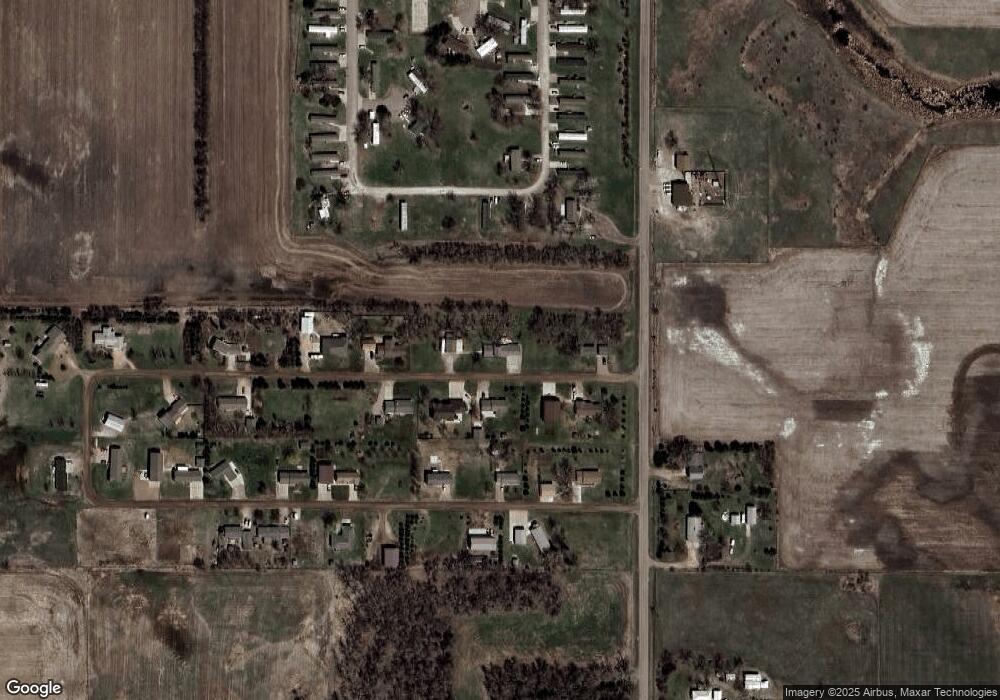
Map
Nearby Homes
- 1270 S Frontier Dr
- 0 21st St Unit 25-140
- 0 Prairie Eagle Cir Unit 25-2
- 0 Lot 10 Blk 1 McDonald Dr
- 0 Lot 7 Blk 2 McDonald Dr
- 0 Lot 6 Blk 2 McDonald Dr
- 0 Lot 7 Blk 1 McDonald Dr
- 1980 Meadowlark Ln Unit 302
- 0 Lot 6 Blk 1 McDonald Dr
- 2405 Prairie Eagle Cir
- 2348 Ohio Ave SW
- 540 18th St SW
- 0 24th St St
- 1472 Ohio Ave SW
- 1949 Lampert Dr
- 1950 Lampert Dr
- 280 20th St
- 0 S Dakota 37
- Southtown Addition
- 0 Southtown Addition Lots Unit 25-310
- 1350 N Frontier Dr
- 1312 N Frontier Dr
- 1383 N Frontier Dr
- 1372 N Frontier Dr
- 1242 N Frontier Dr
- 1417 N Frontier Dr
- 1351 S Frontier Dr
- 1301 S Frontier Dr
- 1231 S Frontier Dr
- 1415 S Frontier Dr
- 1441 S Frontier Dr
- 1430 S Frontier Dr
- 1503 N Frontier Dr
- 1492 N Frontier Dr
- 2620 Lincoln Ave SW
- 2670 Lincoln Ave SW
- 1552 N Frontier Dr
- 1535 S Frontier Dr
- 1575 N Frontier Dr
- 1400 21st St SW Unit 156
Your Personal Tour Guide
Ask me questions while you tour the home.