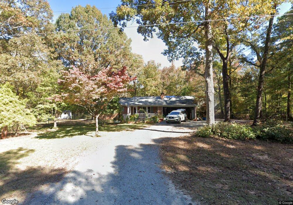
1304 Forest Ln Monroe, NC 28112
Estimated Value: $324,000 - $369,000
3
Beds
2
Baths
1,377
Sq Ft
$258/Sq Ft
Est. Value
About This Home
This home is located at 1304 Forest Ln, Monroe, NC 28112 and is currently estimated at $355,032, approximately $257 per square foot. 1304 Forest Ln is a home located in Union County with nearby schools including Prospect Elementary School, Parkwood Middle School, and Parkwood High School.
Ownership History
Date
Name
Owned For
Owner Type
Purchase Details
Closed on
Mar 12, 2007
Sold by
Henson Thurman Hayden and Henson Sandy R
Bought by
Spayd Brandon C and Spayd Jessica A
Current Estimated Value
Home Financials for this Owner
Home Financials are based on the most recent Mortgage that was taken out on this home.
Original Mortgage
$126,000
Outstanding Balance
$75,339
Interest Rate
6.22%
Mortgage Type
Unknown
Estimated Equity
$279,693
Create a Home Valuation Report for This Property
The Home Valuation Report is an in-depth analysis detailing your home's value as well as a comparison with similar homes in the area
Purchase History
We collect this data history from publicly available records. To have your information removed, we recommend requesting removal directly through your county’s website.
| Date | Buyer | Sale Price | Title Company |
|---|---|---|---|
| Spayd Brandon C | $140,000 | Chicago Title Insurance Co |
Source: Public Records
Mortgage History
We collect this data history from publicly available records. To have your information removed, we recommend requesting removal directly through your county’s website.
| Date | Status | Borrower | Loan Amount |
|---|---|---|---|
| Open | Spayd Brandon C | $126,000 |
Source: Public Records
Tax History
| Year | Tax Paid | Tax Assessment Tax Assessment Total Assessment is a certain percentage of the fair market value that is determined by local assessors to be the total taxable value of land and additions on the property. | Land | Improvement |
|---|---|---|---|---|
| 2025 | $1,715 | $372,100 | $102,000 | $270,100 |
| 2024 | $1,483 | $237,300 | $41,100 | $196,200 |
| 2023 | $1,473 | $237,300 | $41,100 | $196,200 |
| 2022 | $1,473 | $237,300 | $41,100 | $196,200 |
| 2021 | $1,487 | $237,300 | $41,100 | $196,200 |
| 2020 | $1,383 | $175,230 | $32,230 | $143,000 |
| 2019 | $1,381 | $175,230 | $32,230 | $143,000 |
| 2018 | $0 | $175,230 | $32,230 | $143,000 |
| 2017 | $1,468 | $175,200 | $32,200 | $143,000 |
| 2016 | $1,443 | $175,230 | $32,230 | $143,000 |
| 2015 | $1,460 | $175,230 | $32,230 | $143,000 |
| 2014 | $954 | $162,920 | $37,600 | $125,320 |
Source: Public Records
Map
Nearby Homes
- 4517 Plyler Mill Rd
- 920 Dewitt Helms Rd
- 2521 Plyler Mill Rd
- 2517 Plyler Mill Rd
- 4907 Delmar Griffin Rd
- 1822 Irby Rd
- 4812 Austin Rd
- 4114 Mcmanus Rd Unit 1
- 5413 Austin Rd
- 2023 Turnsberry Dr
- 0 Wolf Pond Rd Unit CAR4260991
- 3607 Austin Rd
- 4918 Griffith Rd
- 601 Cedarwood Dr
- 18AC W M Griffin Rd
- 5203 Garden Gate Dr
- 2910 Plum Thicket Ct
- 5120 Pond Bluff Dr
- 5106 Pond Bluff Dr
- 3002 Plyler Mill Rd
- 1101 Clarksville Campground Rd
- 1106 Clarksville Campground Rd
- 1114 Clarksville Campground Rd
- 1316 Forest Ln
- 1207 Clarksville Campground Rd
- 1019 Clarksville Campground Rd
- 1209 Clarksville Campground Rd
- 4600 Hood St
- 1407 Forest Ln
- 00 Forest Ln
- 8 Forest Ln
- 4604 Hood St
- 1208 Clarksville Campground Rd
- 1304 W Sandy Ridge Rd
- 1312 W Sandy Ridge Rd
- 1312 W Sandy Ridge Rd
- 1320 W Sandy Ridge Rd
- 4616 Hood St
- 1118 Clarksville Campground Rd
- 4612 Hood St
Your Personal Tour Guide
Ask me questions while you tour the home.