1304 S Fork Rd Marion, VA 24354
Estimated Value: $288,000 - $379,658
2
Beds
3
Baths
1,732
Sq Ft
$194/Sq Ft
Est. Value
About This Home
This home is located at 1304 S Fork Rd, Marion, VA 24354 and is currently estimated at $335,665, approximately $193 per square foot. 1304 S Fork Rd is a home located in Smyth County with nearby schools including Sugar Grove Elementary School, Marion Senior High School, and Chilhowie High School.
Ownership History
Date
Name
Owned For
Owner Type
Purchase Details
Closed on
Oct 23, 2014
Sold by
Adams Debbie T
Bought by
Mccall Kermit A
Current Estimated Value
Home Financials for this Owner
Home Financials are based on the most recent Mortgage that was taken out on this home.
Original Mortgage
$235,200
Outstanding Balance
$180,315
Interest Rate
4.1%
Mortgage Type
Land Contract Argmt. Of Sale
Estimated Equity
$155,350
Create a Home Valuation Report for This Property
The Home Valuation Report is an in-depth analysis detailing your home's value as well as a comparison with similar homes in the area
Home Values in the Area
Average Home Value in this Area
Purchase History
| Date | Buyer | Sale Price | Title Company |
|---|---|---|---|
| Mccall Kermit A | $197,000 | -- |
Source: Public Records
Mortgage History
| Date | Status | Borrower | Loan Amount |
|---|---|---|---|
| Open | Mccall Kermit A | $235,200 |
Source: Public Records
Tax History
| Year | Tax Paid | Tax Assessment Tax Assessment Total Assessment is a certain percentage of the fair market value that is determined by local assessors to be the total taxable value of land and additions on the property. | Land | Improvement |
|---|---|---|---|---|
| 2025 | $1,406 | $269,500 | $53,300 | $216,200 |
| 2024 | $1,406 | $269,500 | $53,300 | $216,200 |
| 2023 | $1,370 | $185,200 | $50,800 | $134,400 |
| 2022 | $1,370 | $185,200 | $50,800 | $134,400 |
| 2021 | $1,370 | $185,200 | $50,800 | $134,400 |
| 2020 | $1,370 | $185,200 | $50,800 | $134,400 |
| 2019 | $1,294 | $174,900 | $50,800 | $124,100 |
| 2018 | $1,294 | $174,900 | $50,800 | $124,100 |
| 2017 | $1,294 | $174,900 | $50,800 | $124,100 |
| 2016 | $1,294 | $174,900 | $50,800 | $124,100 |
| 2015 | $1,294 | $0 | $0 | $0 |
| 2014 | $1,712 | $0 | $0 | $0 |
Source: Public Records
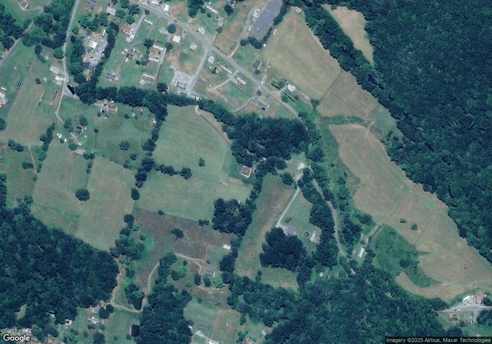
Map
Nearby Homes
- 265 Flatwoods Rd
- 556 Stoney Battery Rd
- 450 Stoney Battery Rd
- 721 Thomas Bridge Rd
- 711 Thomas Bridge Rd
- 147 Colonial Heights Dr
- TBD Granite Ln
- 2647 Teas Rd
- 450 Adwolfe Rd
- 260 Cornett Rd
- 625 Belle Hollow Rd
- 122 Adwolfe Rd
- 158 North Dr
- 526 Friendly Cir
- 554 Friendly Cir
- 1022 S Main St
- 911 Cumberland St
- 787 Wet Springs Rd
- 810 Cumberland St
- 470 Riverside Rd
- 1356 S Fork Rd
- 1306 S Fork Rd
- 1358 S Fork Rd
- 1313 S Fork Rd
- 131 Spring Hollow Rd
- 1307 S Fork Rd
- 1274 S Fork Rd
- 111 Spring Hollow Rd
- 1157 Zion Hill Rd
- 1270 S Fork Rd
- 1256 S Fork Rd
- 1228 S Fork Rd Unit 1234
- 1271 S Fork Rd
- 105 Harley Rd
- 1224 Gunston Ln
- 1209 S Fork Rd
- 185 Spring Hollow Rd
- 1181 Zion Hill Rd
- 205 Spring Hollow Rd
- 223 Spring Hollow Rd
Your Personal Tour Guide
Ask me questions while you tour the home.