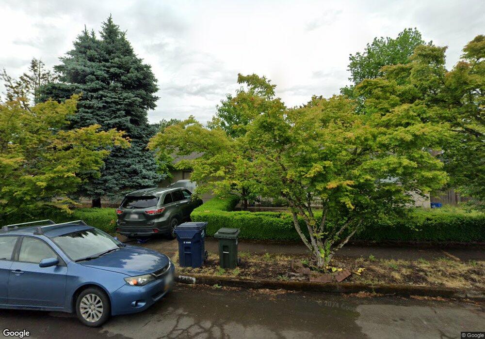
1305 Corum Ave Eugene, OR 97401
Cal Young NeighborhoodEstimated Value: $583,000 - $661,000
4
Beds
2
Baths
2,200
Sq Ft
$285/Sq Ft
Est. Value
About This Home
This home is located at 1305 Corum Ave, Eugene, OR 97401 and is currently estimated at $627,403, approximately $285 per square foot. 1305 Corum Ave is a home located in Lane County with nearby schools including Willagillespie Elementary School, Cal Young Middle School, and Sheldon High School.
Ownership History
Date
Name
Owned For
Owner Type
Purchase Details
Closed on
Dec 14, 2016
Sold by
Dahan Michael
Bought by
Burns Kristin
Current Estimated Value
Purchase Details
Closed on
Feb 25, 2014
Sold by
Burns Kristin Kimberly
Bought by
Burns Kristin Kimberly and Dahan Michael
Purchase Details
Closed on
Feb 28, 2005
Sold by
Malcolm Margaret E
Bought by
Malcolm Margaret E and Margaret E Malcolm Revocable Trust
Home Financials for this Owner
Home Financials are based on the most recent Mortgage that was taken out on this home.
Original Mortgage
$66,500
Interest Rate
5.66%
Mortgage Type
New Conventional
Purchase Details
Closed on
Feb 25, 2005
Sold by
Malcolm Margaret E
Bought by
Malcolm Margaret E
Home Financials for this Owner
Home Financials are based on the most recent Mortgage that was taken out on this home.
Original Mortgage
$66,500
Interest Rate
5.66%
Mortgage Type
New Conventional
Create a Home Valuation Report for This Property
The Home Valuation Report is an in-depth analysis detailing your home's value as well as a comparison with similar homes in the area
Home Values in the Area
Average Home Value in this Area
Purchase History
| Date | Buyer | Sale Price | Title Company |
|---|---|---|---|
| Burns Kristin | -- | None Available | |
| Burns Kristin Kimberly | -- | None Available | |
| Malcolm Margaret E | -- | Western Pioneer Title | |
| Malcolm Margaret E | -- | Western Pioneer Title |
Source: Public Records
Mortgage History
| Date | Status | Borrower | Loan Amount |
|---|---|---|---|
| Previous Owner | Malcolm Margaret E | $66,500 |
Source: Public Records
Tax History
| Year | Tax Paid | Tax Assessment Tax Assessment Total Assessment is a certain percentage of the fair market value that is determined by local assessors to be the total taxable value of land and additions on the property. | Land | Improvement |
|---|---|---|---|---|
| 2025 | $6,545 | $335,912 | -- | -- |
| 2024 | $6,463 | $326,129 | -- | -- |
| 2023 | $6,463 | $316,631 | $0 | $0 |
| 2022 | $6,055 | $307,409 | $0 | $0 |
| 2021 | $5,687 | $298,456 | $0 | $0 |
| 2020 | $5,707 | $289,764 | $0 | $0 |
| 2019 | $5,512 | $281,325 | $0 | $0 |
| 2018 | $4,965 | $265,177 | $0 | $0 |
| 2017 | $4,691 | $265,177 | $0 | $0 |
| 2016 | $4,447 | $257,453 | $0 | $0 |
| 2015 | $4,445 | $249,954 | $0 | $0 |
| 2014 | $4,417 | $242,674 | $0 | $0 |
Source: Public Records
Map
Nearby Homes
- 2280 Tabor St
- 1332 Jeppesen Ave
- 2281 Ridgeway Dr
- 1165 Skylark Ln
- 2291 Norkenzie Rd
- 1697 Elanco Ave
- 1455 Holly Ave
- 1625 Monterey Ln
- 1500 Norkenzie Rd Unit 12
- 0 Piper Ln Unit Lot 1
- 0 Piper Ln Unit Lot 3
- 0 Piper Ln Unit Lot 2
- 0 Piper Ln Unit Lot 5
- 1810 Minda Dr
- 1901 Minda Dr
- 1550 Green Acres Rd
- 1328 Spyglass Dr
- 2132 Willona Dr
- 2134 Willona Dr
- 1943 Monterey Ln
- 1330 Flintridge Ave
- 1315 Corum Ave Unit VRM
- 1315 Corum Ave
- 1300 Corum Ave
- 1325 Flintridge Ave
- 1360 Flintridge Ave
- 1335 Corum Ave
- 1335 Flintridge Ave
- 1315 Flintridge Ave
- 1320 Corum Ave
- 2070 Tabor St
- 1305 Flintridge Ave
- 1355 Flintridge Ave
- 1280 Flintridge Ave
- 1345 Corum Ave
- 1330 Corum Ave
- 2050 Tabor St
- 1380 Flintridge Ave
- 2045 Ridgeway Dr
- 1320 Inglewood Ave
Your Personal Tour Guide
Ask me questions while you tour the home.