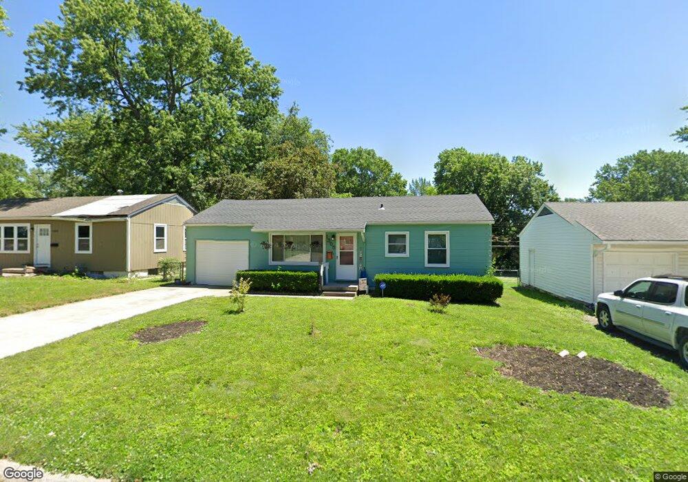
1305 S Crane St Independence, MO 64055
Hanthorn NeighborhoodEstimated Value: $142,671 - $153,000
2
Beds
1
Bath
792
Sq Ft
$189/Sq Ft
Est. Value
About This Home
This home is located at 1305 S Crane St, Independence, MO 64055 and is currently estimated at $149,918, approximately $189 per square foot. 1305 S Crane St is a home located in Jackson County with nearby schools including Sycamore Hills Elementary School, Bridger Middle School, and Pioneer Ridge Middle School.
Ownership History
Date
Name
Owned For
Owner Type
Purchase Details
Closed on
Jul 18, 2011
Sold by
Cox Victoria L and Cox Gary L
Bought by
Woods Sheryl J
Current Estimated Value
Home Financials for this Owner
Home Financials are based on the most recent Mortgage that was taken out on this home.
Original Mortgage
$59,007
Outstanding Balance
$40,614
Interest Rate
4.52%
Mortgage Type
FHA
Estimated Equity
$109,304
Purchase Details
Closed on
Oct 22, 1996
Sold by
Armstrong Cora Nadine
Bought by
Cox Victoria L and Hoeppner Saundra M
Create a Home Valuation Report for This Property
The Home Valuation Report is an in-depth analysis detailing your home's value as well as a comparison with similar homes in the area
Home Values in the Area
Average Home Value in this Area
Purchase History
| Date | Buyer | Sale Price | Title Company |
|---|---|---|---|
| Woods Sheryl J | -- | Kansas City Title Inc | |
| Cox Victoria L | -- | -- | |
| Cox Victoria L | -- | -- |
Source: Public Records
Mortgage History
| Date | Status | Borrower | Loan Amount |
|---|---|---|---|
| Open | Woods Sheryl J | $59,007 |
Source: Public Records
Tax History
| Year | Tax Paid | Tax Assessment Tax Assessment Total Assessment is a certain percentage of the fair market value that is determined by local assessors to be the total taxable value of land and additions on the property. | Land | Improvement |
|---|---|---|---|---|
| 2025 | $1,212 | $14,573 | $4,488 | $10,085 |
| 2024 | $1,184 | $17,493 | $3,314 | $14,179 |
| 2023 | $1,184 | $17,494 | $2,440 | $15,054 |
| 2022 | $814 | $11,020 | $3,049 | $7,971 |
| 2021 | $814 | $11,020 | $3,049 | $7,971 |
| 2020 | $841 | $11,074 | $3,049 | $8,025 |
| 2019 | $828 | $11,074 | $3,049 | $8,025 |
| 2018 | $755 | $9,637 | $2,653 | $6,984 |
| 2016 | $749 | $9,475 | $2,544 | $6,931 |
Source: Public Records
Map
Nearby Homes
- 912 E Stone St
- 603 E Myrtle St
- 1040 E Stone St
- 1340 S Emery Ave
- 914 E South Ave
- 735 E Devon St
- 1339 S Hocker Ave
- 1215 E South Ave
- 1124 S Haden St
- 718 E Gudgell Ave
- 930 S Leslie St
- 903 S Pope Ave
- 925 S Emery St
- 421 E Angus St
- 1312 S Pearl St
- 913 S Hocker Ave
- 808 S Savage St
- 816 S Woodbury St
- 921 E Manor Rd
- 1402 S Dodgion Ave
- 1307 S Crane St
- 1303 S Crane St
- 1309 S Crane St
- 1301 S Crane St
- 1304 S Crane St
- 1311 S Crane St
- 1219 S Crane St
- 911 E Fair St
- 1308 S Crane St
- 1313 S Crane St
- 1306 S Crane St
- 1310 S Crane St
- 1234 Randall Rd
- 1315 S Crane St
- 909 E Fair St
- 1304 Randall Rd
- 1314 Randall Rd
- 1312 S Crane St
- 912 E Fair St
- 1302 Randall Rd
Your Personal Tour Guide
Ask me questions while you tour the home.