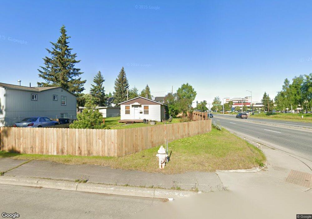
1306 Kinnikinnick St Anchorage, AK 99508
Airport Heights NeighborhoodEstimated Value: $140,000 - $305,000
2
Beds
1
Bath
724
Sq Ft
$314/Sq Ft
Est. Value
About This Home
This home is located at 1306 Kinnikinnick St, Anchorage, AK 99508 and is currently estimated at $227,104, approximately $313 per square foot. 1306 Kinnikinnick St is a home located in Anchorage Municipality with nearby schools including Airport Heights Elementary School, Wendler Middle School, and Bettye Davis East Anchorage High School.
Ownership History
Date
Name
Owned For
Owner Type
Purchase Details
Closed on
Apr 4, 2016
Sold by
Rayess Rachad and Rayess Amy Beane
Bought by
Johnson Scott
Current Estimated Value
Home Financials for this Owner
Home Financials are based on the most recent Mortgage that was taken out on this home.
Original Mortgage
$138,000
Outstanding Balance
$109,525
Interest Rate
3.65%
Mortgage Type
New Conventional
Estimated Equity
$117,579
Create a Home Valuation Report for This Property
The Home Valuation Report is an in-depth analysis detailing your home's value as well as a comparison with similar homes in the area
Home Values in the Area
Average Home Value in this Area
Purchase History
| Date | Buyer | Sale Price | Title Company |
|---|---|---|---|
| Johnson Scott | -- | None Available |
Source: Public Records
Mortgage History
| Date | Status | Borrower | Loan Amount |
|---|---|---|---|
| Open | Johnson Scott | $138,000 |
Source: Public Records
Tax History
| Year | Tax Paid | Tax Assessment Tax Assessment Total Assessment is a certain percentage of the fair market value that is determined by local assessors to be the total taxable value of land and additions on the property. | Land | Improvement |
|---|---|---|---|---|
| 2025 | $3,545 | $230,400 | $91,500 | $138,900 |
| 2024 | $3,545 | $219,600 | $91,500 | $128,100 |
| 2023 | $3,437 | $201,800 | $91,500 | $110,300 |
| 2022 | $3,360 | $199,500 | $91,500 | $108,000 |
| 2021 | $3,305 | $183,400 | $91,500 | $91,900 |
| 2020 | $3,133 | $184,300 | $91,500 | $92,800 |
| 2019 | $2,969 | $181,500 | $91,500 | $90,000 |
| 2018 | $2,977 | $181,500 | $91,500 | $90,000 |
| 2017 | $2,870 | $183,300 | $91,500 | $91,800 |
| 2016 | $2,332 | $166,800 | $78,200 | $88,600 |
| 2015 | $2,332 | $163,900 | $78,200 | $85,700 |
| 2014 | $2,332 | $165,900 | $73,800 | $92,100 |
Source: Public Records
Map
Nearby Homes
- 1524 Rosemary St
- 1536 Valarian St
- 3215 E 18th Cir
- 1806 Thunderbird Place
- 1418 Primrose St
- 1703 Alder Dr
- 1417 Primrose St
- 1701 Aleutian St
- 3535 E 19th Ave
- 3463 E 20th Ave Unit 34
- 3661 E 20th Ave
- 1811 Talkeetna St
- 4011 San Roberto Ave
- 4004 E 8th Ave
- 1715 Katrina Cir
- 1923 Talkeetna St
- 3962 Reka Dr Unit C3
- 1755 Eastridge Dr
- 3911 E 7th Ave
- 000 Tr A Thurston
- 1300 Kinnikinnick St
- 1312 Kinnikinnick St
- 1318 Kinnikinnick St
- 1305 Airport Heights Dr
- 1313 Airport Heights Dr
- 3210 Debarr Rd
- 1328 Kinnikinnick St
- 1313 Kinnikinnick St
- 1325 Airport Heights Dr
- 1321 Kinnikinnick St
- NHN Tr A Thurston
- L1 B9 E 16th Ave
- 3724 Lake Otis Pkwy
- L3 B2 Flower St
- L2 Boniface Pkwy
- L1 B14 Lane
- L2 B14 Lane
- 4003 Lake Otis Pkwy
- Tr B S Brody St
- L14 B12 Mt View Dr
Your Personal Tour Guide
Ask me questions while you tour the home.