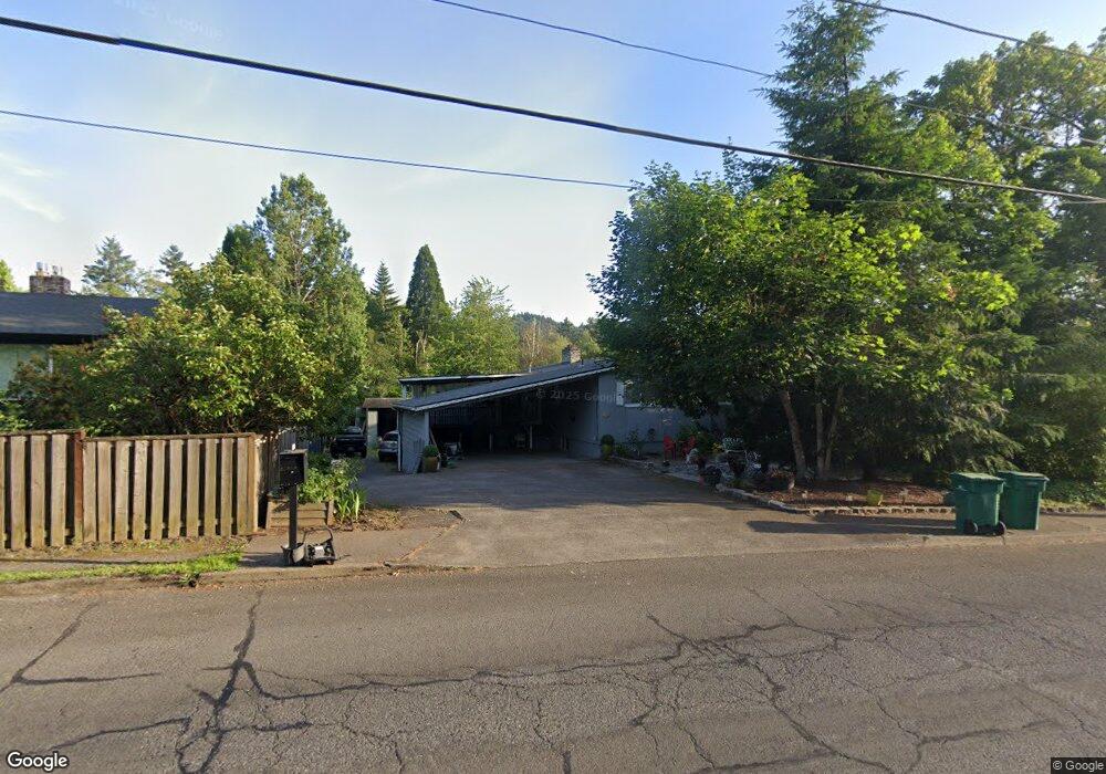
1306 SE Roberts Dr Gresham, OR 97080
Historic Southeast NeighborhoodEstimated Value: $492,000 - $589,320
4
Beds
3
Baths
2,592
Sq Ft
$203/Sq Ft
Est. Value
About This Home
This home is located at 1306 SE Roberts Dr, Gresham, OR 97080 and is currently estimated at $525,580, approximately $202 per square foot. 1306 SE Roberts Dr is a home located in Multnomah County with nearby schools including East Gresham Elementary School, Dexter McCarty Middle School, and Gresham High School.
Ownership History
Date
Name
Owned For
Owner Type
Purchase Details
Closed on
Jun 20, 2011
Sold by
Taylor June
Bought by
Taylor June and Shepherd David
Current Estimated Value
Purchase Details
Closed on
Sep 1, 2010
Sold by
Justice Scott
Bought by
Taylor June
Purchase Details
Closed on
Feb 6, 2008
Sold by
Justice Scott
Bought by
Justice Scott and Taylor June
Purchase Details
Closed on
Jun 17, 2005
Sold by
Birt William F
Bought by
Justice Scott
Home Financials for this Owner
Home Financials are based on the most recent Mortgage that was taken out on this home.
Original Mortgage
$180,000
Interest Rate
1.37%
Mortgage Type
Fannie Mae Freddie Mac
Create a Home Valuation Report for This Property
The Home Valuation Report is an in-depth analysis detailing your home's value as well as a comparison with similar homes in the area
Home Values in the Area
Average Home Value in this Area
Purchase History
| Date | Buyer | Sale Price | Title Company |
|---|---|---|---|
| Taylor June | -- | Accommodation | |
| Taylor June | -- | None Available | |
| Justice Scott | -- | Accommodation | |
| Justice Scott | -- | -- |
Source: Public Records
Mortgage History
| Date | Status | Borrower | Loan Amount |
|---|---|---|---|
| Previous Owner | Justice Scott | $180,000 |
Source: Public Records
Tax History
| Year | Tax Paid | Tax Assessment Tax Assessment Total Assessment is a certain percentage of the fair market value that is determined by local assessors to be the total taxable value of land and additions on the property. | Land | Improvement |
|---|---|---|---|---|
| 2025 | $5,946 | $292,190 | -- | -- |
| 2024 | $5,692 | $283,680 | -- | -- |
| 2023 | $5,186 | $275,420 | $0 | $0 |
| 2022 | $5,041 | $267,400 | $0 | $0 |
| 2021 | $4,914 | $259,620 | $0 | $0 |
| 2020 | $4,623 | $252,060 | $0 | $0 |
| 2019 | $4,502 | $244,720 | $0 | $0 |
| 2018 | $4,293 | $237,600 | $0 | $0 |
| 2017 | $4,119 | $230,680 | $0 | $0 |
| 2016 | $3,631 | $223,970 | $0 | $0 |
Source: Public Records
Map
Nearby Homes
- 1918 SE Regner Rd
- 2024 SE Spruce Ave
- 511 SE 15th St
- 1949 SE Palmquist Rd Unit 51
- 1949 SE Palmquist Rd Unit 91
- 1949 SE Palmquist Rd Unit 121
- 2137 SE 15th Aly
- 1414 SE Beech Place
- 2125 SE 18th Aly
- 2240 SE 16th St
- 2358 SE Palmquist Rd
- 2243 SE 19th St
- 2392 SE 16th Aly
- 1696 SE 26th Dr
- 2581 SE Morlan Way
- 2678 SE Myrtlewood Way
- 55 SW Lovhar Dr
- 732 SE Rene Ave
- 450 SE Hogan Rd
- 0 SW Miller Ct Unit 470855683
- 1312 SE Roberts Dr
- 1410 SE Evelyn Ct
- 1490 SE Evelyn Ct
- 1525 SE Liberty Ave
- 1334 SE Roberts Dr
- 1505 SE Liberty Ave
- 1520 SE Evelyn Ct
- 1405 SE Evelyn Ct
- 1595 SE Liberty Ave
- 1445 SE Evelyn Ct
- 1315 SE Roberts Dr
- 1402 SE Roberts Dr
- 1426 SE Liberty Ave
- 1535 SE Evelyn Ct
- 1402 SE Liberty Ave
- 1391 SE Liberty Re-Listed Ave
- 1391 SE Liberty Ave
- 1525 SE Evelyn Ct
- 1297 SE Stapleton Loop
- 1532 SE Evelyn Ct
Your Personal Tour Guide
Ask me questions while you tour the home.