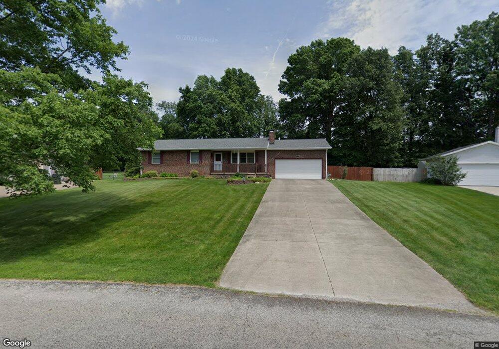
13067 Mark Path Doylestown, OH 44230
Doylestown AreaEstimated Value: $262,000 - $345,000
About This Home
This home is located at 13067 Mark Path, Doylestown, OH 44230 and is currently estimated at $300,445, approximately $180 per square foot. 13067 Mark Path is a home located in Wayne County with nearby schools including Hazel Harvey Elementary School, Chippewa Intermediate School, and Chippewa Jr./Sr. High School.
Ownership History
We collect this data history from publicly available records. To have your information removed, we recommend requesting removal directly through your county’s website.
Purchase Details
Home Financials for this Owner
Home Financials are based on the most recent Mortgage that was taken out on this home.Purchase Details
Home Values in the Area
Average Home Value in this Area
Purchase History
We collect this data history from publicly available records. To have your information removed, we recommend requesting removal directly through your county’s website.
| Date | Buyer | Sale Price | Title Company |
|---|---|---|---|
| -- | -- | ||
| $57,500 | -- |
Mortgage History
We collect this data history from publicly available records. To have your information removed, we recommend requesting removal directly through your county’s website.
| Date | Status | Borrower | Loan Amount |
|---|---|---|---|
| Open | $60,000 |
Tax History
We collect this data history from publicly available records. To have your information removed, we recommend requesting removal directly through your county’s website.
| Year | Tax Paid | Tax Assessment Tax Assessment Total Assessment is a certain percentage of the fair market value that is determined by local assessors to be the total taxable value of land and additions on the property. | Land | Improvement |
|---|---|---|---|---|
| 2025 | $2,360 | $78,400 | $20,250 | $58,150 |
| 2024 | $2,360 | $78,400 | $20,250 | $58,150 |
| 2023 | $2,383 | $78,400 | $20,250 | $58,150 |
| 2022 | $1,831 | $57,220 | $14,780 | $42,440 |
| 2021 | $1,845 | $57,220 | $14,780 | $42,440 |
| 2020 | $1,858 | $57,220 | $14,780 | $42,440 |
| 2019 | $1,437 | $44,880 | $11,940 | $32,940 |
| 2018 | $1,451 | $44,880 | $11,940 | $32,940 |
| 2017 | $1,439 | $44,880 | $11,940 | $32,940 |
| 2016 | $1,389 | $43,150 | $11,480 | $31,670 |
| 2015 | $1,383 | $43,150 | $11,480 | $31,670 |
| 2014 | $1,214 | $43,150 | $11,480 | $31,670 |
| 2013 | $1,227 | $42,460 | $11,580 | $30,880 |
Map
- 13069 Hametown Rd
- 17654 Lois Way
- 18592 Edwards Rd Unit 211
- 18592 Edwards Rd Unit 223
- 13129 Shank Rd
- 485 Vineyard Way
- 6275 Taylor Rd
- 14740 Oak Grove Dr Unit 26
- 1255 Thorn Way
- 385 Thorn Way
- 680 Thorn Way
- 620 Thorn Way
- 120 Thorn Way
- 410 Juniper Path
- 144 Church St
- 14831 Calaboone Rd
- 620 Franklin Dr
- 241 Hilltop Dr
- V/L 1050 Melanie Ln
- 3110 Bronco Dr
- 13057 Mark Path
- 13075 Mark Path
- 13043 Mark Path
- 13085 Mark Path
- 13074 Mark Path
- 13050 Mark Path
- 18111 James Way
- 13029 Mark Path
- 17989 Edwards Rd
- 18139 James Way
- 17965 Edwards Rd
- 13036 Mark Path
- 17941 Edwards Rd
- 13119 Hametown Rd
- 13101 Hametown Rd
- 13017 Mark Path
- 13099 Mark Path
- 13022 Mark Path
- 17915 Edwards Rd
- 13085 Hametown Rd
Ask me questions while you tour the home.