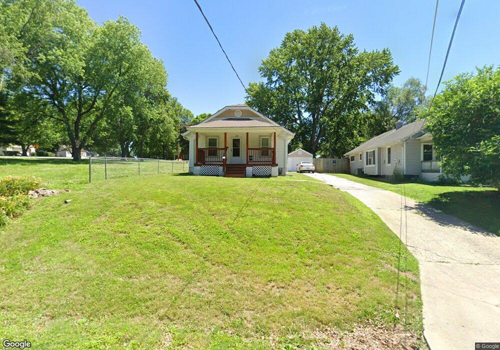
1307 S Logan Ave Independence, MO 64055
Hanthorn NeighborhoodEstimated Value: $136,000 - $163,000
2
Beds
1
Bath
826
Sq Ft
$183/Sq Ft
Est. Value
About This Home
This home is located at 1307 S Logan Ave, Independence, MO 64055 and is currently estimated at $151,302, approximately $183 per square foot. 1307 S Logan Ave is a home located in Jackson County with nearby schools including Sycamore Hills Elementary School, Bridger Middle School, and Pioneer Ridge Middle School.
Ownership History
Date
Name
Owned For
Owner Type
Purchase Details
Closed on
May 8, 2026
Sold by
Ellen Cooper
Bought by
Mary Jo Eilen Morgan Revocable Trust and Cooper
Current Estimated Value
Purchase Details
Closed on
Dec 4, 2024
Sold by
John E Hartnett E and John Corinne E
Bought by
Cooper Mary Jo Ellen
Purchase Details
Closed on
Sep 26, 2024
Sold by
John E Hartnett E and John Corinne E
Bought by
John E Hartnett And Corinne E Hartnett Trust and Cooper
Purchase Details
Closed on
Dec 10, 2007
Sold by
Hartnett John E and Hartnett Corinne E
Bought by
Hartnett Hartnett Corinne E Corinne E and John E Hartnett & Corinne E Hartnett Dec
Create a Home Valuation Report for This Property
The Home Valuation Report is an in-depth analysis detailing your home's value as well as a comparison with similar homes in the area
Home Values in the Area
Average Home Value in this Area
Purchase History
We collect this data history from publicly available records. To have your information removed, we recommend requesting removal directly through your county’s website.
| Date | Buyer | Sale Price | Title Company |
|---|---|---|---|
| Mary Jo Eilen Morgan Revocable Trust | -- | None Listed On Document | |
| Cooper Mary Jo Ellen | -- | None Listed On Document | |
| John E Hartnett And Corinne E Hartnett Trust | -- | None Listed On Document | |
| Hartnett Hartnett Corinne E Corinne E | -- | None Available |
Source: Public Records
Tax History
| Year | Tax Paid | Tax Assessment Tax Assessment Total Assessment is a certain percentage of the fair market value that is determined by local assessors to be the total taxable value of land and additions on the property. | Land | Improvement |
|---|---|---|---|---|
| 2025 | $1,366 | $18,593 | $4,197 | $14,396 |
| 2024 | $1,366 | $19,716 | $3,443 | $16,273 |
| 2023 | $1,335 | $19,716 | $2,540 | $17,176 |
| 2022 | $1,039 | $14,060 | $3,833 | $10,227 |
| 2021 | $1,038 | $14,060 | $3,833 | $10,227 |
| 2020 | $1,067 | $14,042 | $3,833 | $10,209 |
| 2019 | $1,050 | $14,042 | $3,833 | $10,209 |
| 2018 | $957 | $12,221 | $3,336 | $8,885 |
| 2017 | $943 | $12,221 | $3,336 | $8,885 |
| 2016 | $943 | $11,914 | $2,348 | $9,566 |
| 2014 | $895 | $11,568 | $2,280 | $9,288 |
Source: Public Records
Map
Nearby Homes
- 1315 S Pope Ave
- 1311 S Crane St
- 1412 S Logan Ave
- 603 E Myrtle St
- 520 E Fair St
- 930 E Stone St
- 1102 S Leslie Ave
- 915 S Pope Ave
- 1103 S Kings Hwy
- 1024 E Gudgell Ave
- 1134 S Haden St
- 1215 E South Ave
- 1124 S Haden St
- 1129 S Dodgion Ave
- 1402 S Dodgion Ave
- 805 S Logan Ave
- 613 E Red Rd
- 704 E Hayward Ave
- 921 S Noland Rd
- 1334 S Main St
- 1305 S Logan Ave
- 1309 S Logan Ave
- 1311 S Logan Ave
- 1401 S Logan Ave
- 909 E Fair St
- 825 E Fair St
- 1394 S Logan Ave
- 1403 S Logan Ave
- 823 E Fair St
- 1398 S Logan Ave
- 1223 S Logan Ave
- 1405 S Logan Ave
- 1306 S Crane St
- 1224 S Logan Ave
- 813 E Fair St
- 1304 S Crane St
- 908 E Fair St
- 911 E Fair St
- 1400 S Logan Ave
- 1308 S Crane St
Your Personal Tour Guide
Ask me questions while you tour the home.