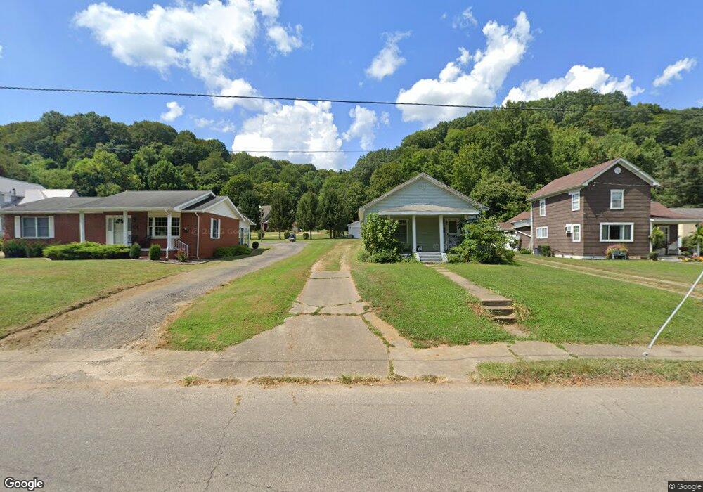
1308 Powell St Middleport, OH 45760
Estimated Value: $86,000 - $119,000
3
Beds
2
Baths
1,200
Sq Ft
$86/Sq Ft
Est. Value
About This Home
This home is located at 1308 Powell St, Middleport, OH 45760 and is currently estimated at $103,267, approximately $86 per square foot. 1308 Powell St is a home located in Meigs County with nearby schools including Meigs Primary School, Meigs Intermediate School, and Meigs Middle School.
Ownership History
Date
Name
Owned For
Owner Type
Purchase Details
Closed on
Jul 22, 2022
Sold by
Ann Cottrill Judith
Bought by
Crooks Edward A and Crooks Judith
Current Estimated Value
Purchase Details
Closed on
Feb 20, 2020
Sold by
Roush Cheryl Ann and Roush Don D
Bought by
Cottrill Judith Ann
Home Financials for this Owner
Home Financials are based on the most recent Mortgage that was taken out on this home.
Original Mortgage
$38,000
Interest Rate
3.6%
Mortgage Type
New Conventional
Purchase Details
Closed on
Aug 6, 2001
Bought by
Roush Cheryl Ann
Create a Home Valuation Report for This Property
The Home Valuation Report is an in-depth analysis detailing your home's value as well as a comparison with similar homes in the area
Purchase History
| Date | Buyer | Sale Price | Title Company |
|---|---|---|---|
| Crooks Edward A | -- | Barr Michael L | |
| Crooks Edward A | -- | Barr Michael L | |
| Cottrill Judith Ann | $40,000 | None Available | |
| Mullins Terry Lynn | -- | None Available | |
| Roush Cheryl Ann | -- | -- |
Source: Public Records
Mortgage History
| Date | Status | Borrower | Loan Amount |
|---|---|---|---|
| Previous Owner | Cottrill Judith Ann | $38,000 |
Source: Public Records
Tax History
| Year | Tax Paid | Tax Assessment Tax Assessment Total Assessment is a certain percentage of the fair market value that is determined by local assessors to be the total taxable value of land and additions on the property. | Land | Improvement |
|---|---|---|---|---|
| 2025 | $759 | $20,000 | $7,210 | $12,790 |
| 2024 | $759 | $17,590 | $6,160 | $11,430 |
| 2023 | $697 | $17,590 | $6,160 | $11,430 |
| 2022 | $676 | $17,590 | $6,160 | $11,430 |
| 2021 | $887 | $20,150 | $6,010 | $14,140 |
| 2020 | $894 | $20,150 | $6,010 | $14,140 |
| 2019 | $884 | $20,150 | $6,010 | $14,140 |
| 2018 | $771 | $17,990 | $4,200 | $13,790 |
| 2017 | $771 | $17,990 | $4,200 | $13,790 |
| 2016 | $781 | $17,990 | $4,200 | $13,790 |
| 2014 | $468 | $20,540 | $5,040 | $15,500 |
| 2013 | $468 | $20,540 | $5,040 | $15,500 |
Source: Public Records
Map
Nearby Homes
Your Personal Tour Guide
Ask me questions while you tour the home.