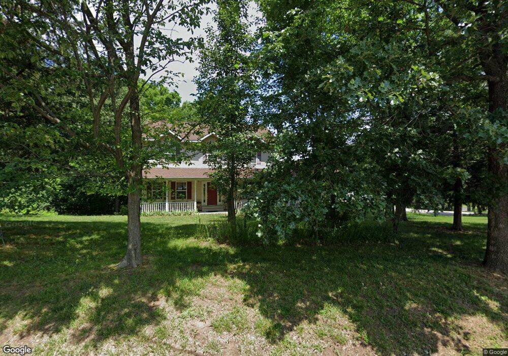
131 Brian Trail Arnold, MO 63010
Estimated Value: $269,000 - $418,000
Studio
--
Bath
1,140
Sq Ft
$311/Sq Ft
Est. Value
About This Home
This home is located at 131 Brian Trail, Arnold, MO 63010 and is currently estimated at $354,790, approximately $311 per square foot. 131 Brian Trail is a home located in Jefferson County with nearby schools including Lone Dell Elementary School, Ridgewood Middle School, and Seckman Senior High School.
Ownership History
Date
Name
Owned For
Owner Type
Purchase Details
Closed on
Aug 11, 2003
Sold by
Rock Creek Forest Llc
Bought by
Smith Herschel E and Smith Julie T
Current Estimated Value
Home Financials for this Owner
Home Financials are based on the most recent Mortgage that was taken out on this home.
Original Mortgage
$246,600
Interest Rate
5.24%
Mortgage Type
Construction
Purchase Details
Closed on
Feb 25, 2003
Sold by
The Rott Family Investment Mgmt Prtnrshp
Bought by
Rock Creek Forest Llc
Create a Home Valuation Report for This Property
The Home Valuation Report is an in-depth analysis detailing your home's value as well as a comparison with similar homes in the area
Home Values in the Area
Average Home Value in this Area
Purchase History
| Date | Buyer | Sale Price | Title Company |
|---|---|---|---|
| Smith Herschel E | -- | Alpha Title Company | |
| Rock Creek Forest Llc | -- | -- |
Source: Public Records
Mortgage History
| Date | Status | Borrower | Loan Amount |
|---|---|---|---|
| Closed | Smith Herschel E | $246,600 |
Source: Public Records
Tax History
| Year | Tax Paid | Tax Assessment Tax Assessment Total Assessment is a certain percentage of the fair market value that is determined by local assessors to be the total taxable value of land and additions on the property. | Land | Improvement |
|---|---|---|---|---|
| 2025 | $3,440 | $52,700 | $3,300 | $49,400 |
| 2024 | $3,440 | $48,200 | $3,300 | $44,900 |
| 2023 | $3,440 | $48,200 | $3,300 | $44,900 |
| 2022 | $3,437 | $48,500 | $3,300 | $45,200 |
| 2021 | $3,440 | $48,500 | $3,300 | $45,200 |
| 2020 | $3,226 | $43,100 | $3,000 | $40,100 |
| 2019 | $3,235 | $43,100 | $3,000 | $40,100 |
| 2018 | $3,212 | $43,100 | $3,000 | $40,100 |
| 2017 | $3,110 | $43,100 | $3,000 | $40,100 |
| 2016 | $2,678 | $40,000 | $3,000 | $37,000 |
| 2015 | $2,685 | $40,000 | $3,000 | $37,000 |
| 2013 | -- | $39,000 | $2,800 | $36,200 |
Source: Public Records
Map
Nearby Homes
- 3600 Gary Rd
- 4581 Annandale Ave
- 1018 Paula Dr
- 1006 Paula Dr
- 3 Jeremy Ct
- 3392 Vine Clad Hill Dr
- 4825 Sierra View Place
- 3352 Vine Clad Hill Dr
- 3339 Vine Clad Hill Dr
- 0 Claystone Dr
- 2282 Benton Dr
- 2107 Henley Woods Dr
- 2836 Harmony Ridge Dr
- 1311 Timber Creek Ln
- 4543 Bella Terra Dr
- 4584 Bella Terra Dr
- 4573 Bella Terra Dr
- 4585 Bella Terra Dr
- 2 Royal II at Bella Terra
- 2 Berwick at Bella Terra
Your Personal Tour Guide
Ask me questions while you tour the home.