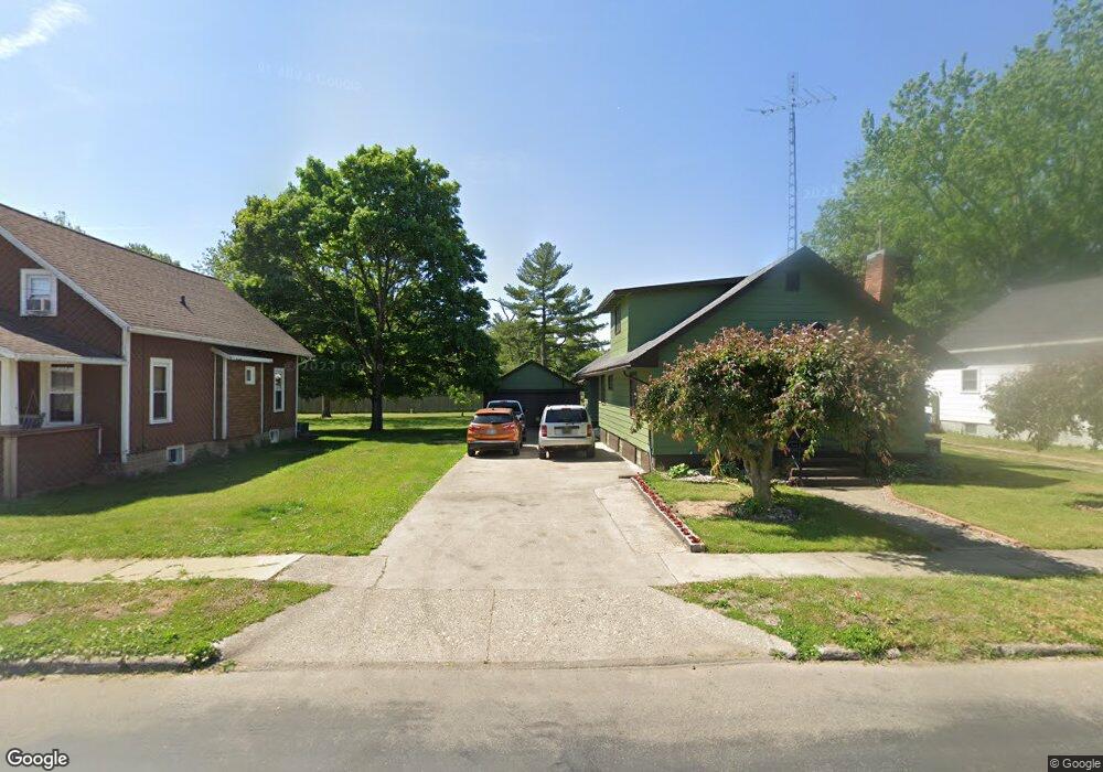
131 Compton St Bronson, MI 49028
Estimated Value: $159,992 - $193,000
About This Home
This home is located at 131 Compton St, Bronson, MI 49028 and is currently estimated at $179,498, approximately $119 per square foot. 131 Compton St is a home located in Branch County with nearby schools including Ryan Elementary School, Anderson Elementary School, and Bronson Junior/Senior High School.
Ownership History
We collect this data history from publicly available records. To have your information removed, we recommend requesting removal directly through your county’s website.
Purchase Details
Home Financials for this Owner
Home Financials are based on the most recent Mortgage that was taken out on this home.Purchase Details
Purchase Details
Home Financials for this Owner
Home Financials are based on the most recent Mortgage that was taken out on this home.Purchase History
We collect this data history from publicly available records. To have your information removed, we recommend requesting removal directly through your county’s website.
| Date | Buyer | Sale Price | Title Company |
|---|---|---|---|
| -- | Hbi Title Services Inc | ||
| -- | None Available | ||
| $85,000 | Chicago Title |
Mortgage History
We collect this data history from publicly available records. To have your information removed, we recommend requesting removal directly through your county’s website.
| Date | Status | Borrower | Loan Amount |
|---|---|---|---|
| Open | $72,300 | ||
| Previous Owner | $80,750 |
Tax History
We collect this data history from publicly available records. To have your information removed, we recommend requesting removal directly through your county’s website.
| Year | Tax Paid | Tax Assessment Tax Assessment Total Assessment is a certain percentage of the fair market value that is determined by local assessors to be the total taxable value of land and additions on the property. | Land | Improvement |
|---|---|---|---|---|
| 2025 | $2,219 | $77,700 | $0 | $0 |
| 2024 | $21 | $78,800 | $0 | $0 |
| 2023 | $1,296 | $71,900 | $0 | $0 |
| 2022 | $2,050 | $59,200 | $0 | $0 |
| 2020 | -- | $53,500 | $0 | $0 |
| 2019 | -- | $48,100 | $0 | $0 |
| 2018 | -- | $41,700 | $0 | $0 |
| 2017 | -- | $43,200 | $0 | $0 |
| 2016 | -- | $42,600 | $0 | $0 |
| 2015 | -- | $39,400 | $0 | $0 |
| 2014 | -- | $37,800 | $0 | $0 |
| 2013 | -- | $43,400 | $0 | $0 |
Map
- 214 E Chicago St
- 142 Cynthia St
- 644 S Matteson St
- 351 Roosevelt St
- 257 Winona St
- 509 N Walker St
- 219 Wayne St
- 609 E Railroad St
- 130 Osborn Rd
- 1015 Brink Rd
- 368 Cranson Rd
- 912 W Shore Rd
- 868 S Werners Landing Dr
- 140 S Snow Prairie Rd
- 141 S Snow Prairie Rd
- 816 S Werners Landing Dr
- 347 Moser Dr
- 828 N Werners Landing Dr
- 818 N Werners Landing Dr
- 786 W Colon Rd
- 137 Compton St
- 125 Compton St
- 139 Compton St
- 128 Compton St
- 134 Compton St
- 122 Compton St
- 215 S Walker St
- 327 S Walker St
- 331 S Walker St
- 328 S Matteson St
- 318 S Walker St
- 201 Compton St
- 326 S Walker St
- 302 S Matteson St
- 312 S Walker St
- 330 S Walker St
- 220 S Walker St
- 230 S Matteson St
- 304 S Matteson St
- 312 S Matteson St
Ask me questions while you tour the home.