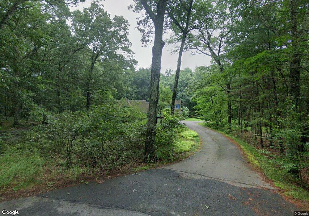
131 Ledge Rock Rd Concord, MA 01742
Estimated Value: $1,767,000 - $2,463,000
4
Beds
5
Baths
3,800
Sq Ft
$574/Sq Ft
Est. Value
About This Home
This home is located at 131 Ledge Rock Rd, Concord, MA 01742 and is currently estimated at $2,180,403, approximately $573 per square foot. 131 Ledge Rock Rd is a home located in Middlesex County with nearby schools including Thoreau Elementary School, Concord Middle School, and Concord Carlisle High School.
Ownership History
Date
Name
Owned For
Owner Type
Purchase Details
Closed on
Dec 7, 2017
Sold by
131 Ledge Rock Road Rt
Bought by
Peacock Timothy M and Harris Carol A
Current Estimated Value
Purchase Details
Closed on
Oct 23, 2013
Sold by
Peacock Timothy M and Harris Carol A
Bought by
131 Ledge Rock Road Rt and Peacock Timothy M
Purchase Details
Closed on
Apr 27, 2005
Sold by
Sardina Michael E and Sardina Susan Lemly
Bought by
Harris Carol A and Peacock Timothy M
Create a Home Valuation Report for This Property
The Home Valuation Report is an in-depth analysis detailing your home's value as well as a comparison with similar homes in the area
Home Values in the Area
Average Home Value in this Area
Purchase History
| Date | Buyer | Sale Price | Title Company |
|---|---|---|---|
| Peacock Timothy M | -- | -- | |
| 131 Ledge Rock Road Rt | -- | -- | |
| Harris Carol A | $1,531,250 | -- |
Source: Public Records
Tax History
| Year | Tax Paid | Tax Assessment Tax Assessment Total Assessment is a certain percentage of the fair market value that is determined by local assessors to be the total taxable value of land and additions on the property. | Land | Improvement |
|---|---|---|---|---|
| 2025 | $281 | $2,120,800 | $670,400 | $1,450,400 |
| 2024 | $27,015 | $2,057,500 | $670,400 | $1,387,100 |
| 2023 | $22,619 | $1,745,300 | $613,400 | $1,131,900 |
| 2022 | $22,025 | $1,492,200 | $499,500 | $992,700 |
| 2021 | $21,930 | $1,489,800 | $499,500 | $990,300 |
| 2020 | $20,902 | $1,468,900 | $499,500 | $969,400 |
| 2019 | $20,136 | $1,419,000 | $461,700 | $957,300 |
| 2018 | $17,740 | $1,241,400 | $464,900 | $776,500 |
| 2017 | $18,864 | $1,340,700 | $476,100 | $864,600 |
| 2016 | $18,012 | $1,294,000 | $454,000 | $840,000 |
| 2015 | $16,969 | $1,187,500 | $420,700 | $766,800 |
Source: Public Records
Map
Nearby Homes
- 316 Lindsay Pond Rd
- 853 Strawberry Hill Rd
- 2 Duston Ln
- 107 Westford Rd
- 110 Spencer Brook Rd
- 363 College Rd
- 265 College Rd
- 495 Hugh Cargill Rd
- 7 Grace Path
- 58 Buttrick Ln
- 11 Longmeadow Way
- 521 Barretts Mill Rd
- 735 Lowell Rd
- 735 Lowell Rd Lot 1 Land
- 74 Canterbury Hill Rd
- 10 Blue Heron Way Unit 10
- 10 Blue Heron Way
- 12 Gabriel Ln
- 18 Quail Run Unit 18
- 87 Canterbury Hill Rd
- 85 Westford Rd
- 11 Ledge Rock Rd
- 101 Ledge Rock Rd
- 88 Ledge Rock Rd
- 40 Coppermine Rd
- 79 Ledge Rock Rd
- 71 Old Farm Rd
- 63 Coppermine Rd
- 27 Ledge Rock Rd
- 95 Coppermine Rd
- 72 Old Farm Rd
- 246 Lindsay Pond Rd
- 244 Lindsay Pond Rd
- 244 Lindsay Pond Rd Unit 244
- 287 Lindsay Pond Rd
- 309 Lindsay Pond Rd
- 389 Lindsay Pond Rd
- 5 Ledge Rock Rd
- 790 Strawberry Hill Rd
- 790 Strawberry Hill Rd Unit 790
Your Personal Tour Guide
Ask me questions while you tour the home.