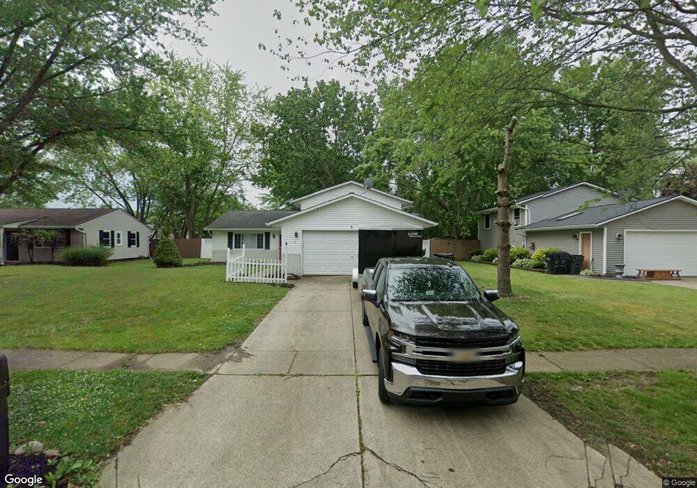
131 Nebraska Ave Elyria, OH 44035
Elyria AreaEstimated Value: $254,963 - $274,000
About This Home
This home is located at 131 Nebraska Ave, Elyria, OH 44035 and is currently estimated at $263,991, approximately $150 per square foot. 131 Nebraska Ave is a home located in Lorain County with nearby schools including Eastern Heights Middle School, Elyria High School, and Constellation Schools: Elyria Community Elementary.
Ownership History
We collect this data history from publicly available records. To have your information removed, we recommend requesting removal directly through your county’s website.
Purchase Details
Home Financials for this Owner
Home Financials are based on the most recent Mortgage that was taken out on this home.Purchase Details
Home Financials for this Owner
Home Financials are based on the most recent Mortgage that was taken out on this home.Home Values in the Area
Average Home Value in this Area
Purchase History
We collect this data history from publicly available records. To have your information removed, we recommend requesting removal directly through your county’s website.
| Date | Buyer | Sale Price | Title Company |
|---|---|---|---|
| $146,000 | Miller Home Title | ||
| -- | Chelsea Title Agency |
Mortgage History
We collect this data history from publicly available records. To have your information removed, we recommend requesting removal directly through your county’s website.
| Date | Status | Borrower | Loan Amount |
|---|---|---|---|
| Open | $5,440 | ||
| Closed | $7,300 | ||
| Previous Owner | $50,000 | ||
| Previous Owner | $43,000 | ||
| Previous Owner | $44,000 |
Tax History
We collect this data history from publicly available records. To have your information removed, we recommend requesting removal directly through your county’s website.
| Year | Tax Paid | Tax Assessment Tax Assessment Total Assessment is a certain percentage of the fair market value that is determined by local assessors to be the total taxable value of land and additions on the property. | Land | Improvement |
|---|---|---|---|---|
| 2024 | $3,258 | $68,334 | $12,996 | $55,339 |
| 2023 | $2,440 | $44,034 | $10,014 | $34,020 |
| 2022 | $2,423 | $44,034 | $10,014 | $34,020 |
| 2021 | $2,396 | $44,034 | $10,014 | $34,020 |
| 2020 | $2,236 | $36,540 | $8,310 | $28,230 |
| 2019 | $1,690 | $36,540 | $8,310 | $28,230 |
| 2018 | $1,535 | $36,540 | $8,310 | $28,230 |
| 2017 | $1,377 | $30,410 | $8,410 | $22,000 |
| 2016 | $1,358 | $30,410 | $8,410 | $22,000 |
| 2015 | $1,272 | $30,410 | $8,410 | $22,000 |
| 2014 | $1,223 | $29,820 | $8,250 | $21,570 |
| 2013 | $1,211 | $29,820 | $8,250 | $21,570 |
Map
- 102 California Ave
- 38667 Chestnut Ridge Rd
- 173 Saint Charles Place Unit 7
- 1731 Abbe Rd S
- 112 Newport Ct Unit 43
- 396 Pemberton Dr
- 532 Heather Woods Dr Unit 22
- 105 Stonehedge Dr
- 126 Augusta Dr
- 125 Gleneagle Dr
- 118 Gleneagle Dr Unit 57
- 10519 Dewhurst Rd
- 438 Hampton Dr
- 219 Bridgeport Dr Unit 35
- L 5 S Lilly Ln
- L 6 S Lily Ln
- L 5 S Lily Ln
- 113 Barrington Ct
- 125 Queen Anne Cir
- 117 Carrington Ct
- 131 Nebraska Dr
- 137 Nebraska Ave
- 127 Nebraska Ave
- 121 Nebraska Ave
- 143 Nebraska Ave
- 128 California Ave
- 140 California Ave
- 134 Nebraska Ave
- 130 Nebraska Ave
- 122 California Ave
- 115 Nebraska Ave
- 140 Nebraska Ave
- 124 Nebraska Ave
- 437 Defiance Ave
- 447 Defiance Ave
- 146 Nebraska Ave
- 114 California Ave
- 118 Nebraska Ave
- 109 Nebraska Ave
- 421 Defiance Ave
Ask me questions while you tour the home.