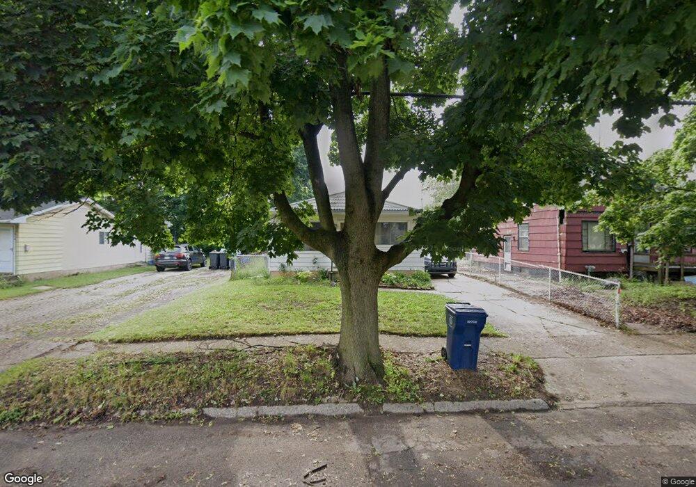
1310 Maplewood Ave Flint, MI 48506
Eastside NeighborhoodEstimated Value: $38,000 - $62,000
4
Beds
2
Baths
1,003
Sq Ft
$49/Sq Ft
Est. Value
About This Home
This home is located at 1310 Maplewood Ave, Flint, MI 48506 and is currently estimated at $48,974, approximately $48 per square foot. 1310 Maplewood Ave is a home located in Genesee County with nearby schools including Potter School, Flint Cultural Center Academy, and WAY Academy of Flint.
Ownership History
Date
Name
Owned For
Owner Type
Purchase Details
Closed on
Oct 13, 2021
Sold by
Lee Burns Gary
Bought by
Dana Tammy Lynn and Burns Gary Lee
Current Estimated Value
Purchase Details
Closed on
Feb 26, 2019
Sold by
Genesee County Land Bank Authority
Bought by
Burns Gary K
Purchase Details
Closed on
Dec 18, 2018
Sold by
Cherry Deborah L
Bought by
Genesee County Land Bank Authority
Purchase Details
Closed on
Apr 30, 2018
Sold by
Dana Tammy Lynn
Bought by
Burns Gary Lee
Purchase Details
Closed on
Sep 27, 2012
Sold by
Cardinal Shirely Ann
Bought by
Dana Tammy
Create a Home Valuation Report for This Property
The Home Valuation Report is an in-depth analysis detailing your home's value as well as a comparison with similar homes in the area
Home Values in the Area
Average Home Value in this Area
Purchase History
| Date | Buyer | Sale Price | Title Company |
|---|---|---|---|
| Dana Tammy Lynn | -- | None Listed On Document | |
| Burns Gary K | -- | None Available | |
| Genesee County Land Bank Authority | -- | None Available | |
| Burns Gary Lee | -- | None Available | |
| Dana Tammy | -- | None Available | |
| Dana Tammy | -- | None Available |
Source: Public Records
Tax History
| Year | Tax Paid | Tax Assessment Tax Assessment Total Assessment is a certain percentage of the fair market value that is determined by local assessors to be the total taxable value of land and additions on the property. | Land | Improvement |
|---|---|---|---|---|
| 2025 | $999 | $18,800 | $0 | $0 |
| 2024 | $905 | $17,500 | $0 | $0 |
| 2023 | $889 | $16,500 | $0 | $0 |
| 2022 | $0 | $12,500 | $0 | $0 |
| 2021 | $982 | $13,200 | $0 | $0 |
| 2020 | $883 | $13,000 | $0 | $0 |
| 2019 | $1,448 | $0 | $0 | $0 |
| 2018 | $827 | $10,000 | $0 | $0 |
| 2017 | $814 | $0 | $0 | $0 |
| 2016 | $808 | $0 | $0 | $0 |
| 2015 | -- | $0 | $0 | $0 |
| 2014 | -- | $0 | $0 | $0 |
| 2012 | -- | $11,600 | $0 | $0 |
Source: Public Records
Map
Nearby Homes
- 1501 Arlington Ave
- 1318 Cronk Ave
- 2301 Missouri Ave
- 1724 Ohio Ave
- 2302 Missouri Ave
- 2218 Kentucky Ave
- 1216 Minnesota Ave
- 910 N Vernon Ave
- 2433 Pennsylvania Ave
- 2428 Illinois Ave
- 1609 Ohio Ave
- 2610 Pennsylvania Ave
- 2605 Nebraska Ave
- 2601 Illinois Ave
- 1540 Illinois Ave
- 301 Chandler St
- 2105 Arlington Ave
- 1457 Poplar St
- 2426 Broadway Blvd
- 1805 Bennett Ave
- 1306 Maplewood Ave
- 1314 Maplewood Ave
- 2001 Missouri Ave
- 1309 Arlington Ave
- 1305 Arlington Ave
- 1313 Arlington Ave
- 1406 Maplewood Ave
- 1301 Arlington Ave
- 1401 Arlington Ave
- 1311 Maplewood Ave
- 1305 Maplewood Ave
- 1317 Maplewood Ave
- 1301 Maplewood Ave
- 1409 Arlington Ave
- 1401 Maplewood Ave
- 1410 Maplewood Ave
- 1409 Maplewood Ave
- 2006 Missouri Ave
- 1411 Arlington Ave
- 2010 Missouri Ave
Your Personal Tour Guide
Ask me questions while you tour the home.