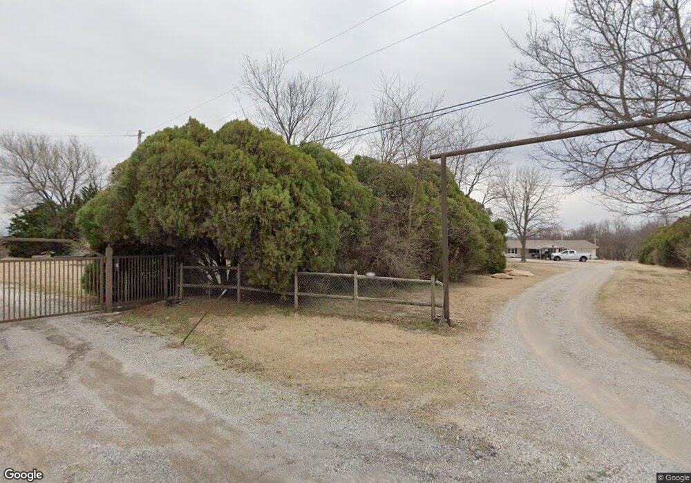
13118 E 71st St N Owasso, OK 74055
Estimated Value: $228,000 - $325,130
4
Beds
1
Bath
1,651
Sq Ft
$179/Sq Ft
Est. Value
About This Home
This home is located at 13118 E 71st St N, Owasso, OK 74055 and is currently estimated at $294,783, approximately $178 per square foot. 13118 E 71st St N is a home located in Tulsa County with nearby schools including Stone Canyon Elementary School, Owasso 6th Grade Center, and Owasso 8th Grade Center.
Ownership History
Date
Name
Owned For
Owner Type
Purchase Details
Closed on
Apr 28, 2000
Sold by
Mcclure Homer R and Mcclure Betty J
Bought by
Treat Michael Alan and Treat Cindee S
Current Estimated Value
Home Financials for this Owner
Home Financials are based on the most recent Mortgage that was taken out on this home.
Original Mortgage
$126,311
Outstanding Balance
$41,846
Interest Rate
8.19%
Estimated Equity
$252,937
Create a Home Valuation Report for This Property
The Home Valuation Report is an in-depth analysis detailing your home's value as well as a comparison with similar homes in the area
Home Values in the Area
Average Home Value in this Area
Purchase History
| Date | Buyer | Sale Price | Title Company |
|---|---|---|---|
| Treat Michael Alan | $146,000 | Firstitle & Abstract Svcs In |
Source: Public Records
Mortgage History
| Date | Status | Borrower | Loan Amount |
|---|---|---|---|
| Open | Treat Michael Alan | $126,311 |
Source: Public Records
Tax History
| Year | Tax Paid | Tax Assessment Tax Assessment Total Assessment is a certain percentage of the fair market value that is determined by local assessors to be the total taxable value of land and additions on the property. | Land | Improvement |
|---|---|---|---|---|
| 2025 | $1,294 | $11,486 | $75 | $11,411 |
| 2024 | $1,211 | $11,122 | $95 | $11,027 |
| 2023 | $1,211 | $12,132 | $114 | $12,018 |
| 2022 | $1,265 | $11,132 | $105 | $11,027 |
| 2021 | $1,253 | $11,132 | $105 | $11,027 |
| 2020 | $1,055 | $9,389 | $121 | $9,268 |
| 2019 | $1,050 | $9,389 | $121 | $9,268 |
| 2018 | $1,018 | $9,398 | $130 | $9,268 |
| 2017 | $1,023 | $9,398 | $130 | $9,268 |
| 2016 | $1,024 | $9,398 | $130 | $9,268 |
| 2015 | $1,030 | $9,398 | $130 | $9,268 |
| 2014 | $1,036 | $9,380 | $112 | $9,268 |
Source: Public Records
Map
Nearby Homes
- 12809 E 69th St N
- 6709 N 128th East Ave
- 12202 E 70th St N
- 7529 N 129th East Ave
- 13111 E 76th St N
- 13401 E 76th St N
- 13135 E 76th St N
- 6450 N 134th East Ave
- 7705 N 127th East Ave
- 7710 N 132nd East Ave
- 13118 E 78th St N
- 11716 E 69th St N
- 13109 E 79th Ct N
- 7916 N 125th East Ave
- 7806 N 121st East Ave
- 12410 E 80th Ct N
- 12105 E 79th Ct N
- 9930 N Garnett
- 14626 E 76th St N
- 7804 N 117th East Ave
- 13000 E 71st St N
- 13119 E 71st St N
- 0 N 129th Ave E Unit 310682
- 0 N 129th Ave E Unit 324385
- 0 N 129th Ave E Unit 2406230
- 0 N 129th Ave E Unit 1931589
- 0 N 129th Ave E Unit 1931584
- 7107 N 129th East Ave
- 7035 N 129th East Ave
- 7001 N 129th East Ave
- 7137 N 129th East Ave
- 7205 N 129th East Ave
- 12808 E 69th St N
- 12807 E 69th St N
- 6805 N 128th East Ct
- 6803 N 128th East Ct
- 12806 E 69th St N
- 7251 N 129th East Ave
- 12805 E 69th St N
- 6801 N 128th East Ct
Your Personal Tour Guide
Ask me questions while you tour the home.