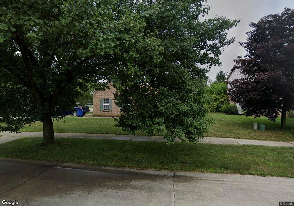
1312 Michael Dr Westland, MI 48186
Estimated Value: $207,000 - $266,169
About This Home
This home is located at 1312 Michael Dr, Westland, MI 48186 and is currently estimated at $248,792, approximately $215 per square foot. 1312 Michael Dr is a home located in Wayne County with nearby schools including Alexander Hamilton Elementary School, Adams Middle School, and Wayne Memorial High School.
Ownership History
We collect this data history from publicly available records. To have your information removed, we recommend requesting removal directly through your county’s website.
Purchase Details
Home Financials for this Owner
Home Financials are based on the most recent Mortgage that was taken out on this home.Purchase Details
Home Values in the Area
Average Home Value in this Area
Purchase History
We collect this data history from publicly available records. To have your information removed, we recommend requesting removal directly through your county’s website.
| Date | Buyer | Sale Price | Title Company |
|---|---|---|---|
| -- | None Available | ||
| $171,900 | -- |
Mortgage History
We collect this data history from publicly available records. To have your information removed, we recommend requesting removal directly through your county’s website.
| Date | Status | Borrower | Loan Amount |
|---|---|---|---|
| Closed | $102,400 |
Tax History
We collect this data history from publicly available records. To have your information removed, we recommend requesting removal directly through your county’s website.
| Year | Tax Paid | Tax Assessment Tax Assessment Total Assessment is a certain percentage of the fair market value that is determined by local assessors to be the total taxable value of land and additions on the property. | Land | Improvement |
|---|---|---|---|---|
| 2025 | $2,984 | $123,200 | $0 | $0 |
| 2024 | $2,878 | $114,400 | $0 | $0 |
| 2023 | $2,749 | $106,700 | $0 | $0 |
| 2022 | $3,214 | $96,800 | $0 | $0 |
| 2021 | $3,134 | $89,300 | $0 | $0 |
| 2020 | $3,099 | $90,200 | $0 | $0 |
| 2019 | $2,987 | $71,700 | $0 | $0 |
| 2018 | $2,261 | $66,900 | $0 | $0 |
| 2017 | $1,095 | $61,500 | $0 | $0 |
| 2016 | $2,900 | $62,000 | $0 | $0 |
| 2015 | $5,597 | $55,970 | $0 | $0 |
| 2013 | $6,059 | $62,030 | $0 | $0 |
| 2012 | $2,825 | $66,080 | $0 | $0 |
Map
- 33712 Melton St
- 33755 Parkwood St
- 1700 Ackley Ave
- 33612 Fairchild St
- 34627 Nancy St
- 35054 Glen St
- 816 S Schuman St
- 35046 Nancy St
- 33499 Unicorn Ct
- 2112 Elbridge Ct
- 547 S Hawthorne St
- 33251 Parkwood St
- 357 S Byfield St
- 35321 Hazelwood St
- 33506 Carly Ct
- 451 Darwin St
- 0000 Delton Ct
- 1171 Denice St
- 1214 S Wayne Rd
- 35230 Sheffield St
- 1287 Michael Dr
- 1267 Michael Dr
- 34274 Hazelwood Dr
- 1315 Craig Dr
- 34262 Hazelwood Dr
- 1282 Craig Dr
- 1247 Michael Dr
- 1262 Craig Dr
- 34250 Hazelwood Dr
- 1272 Michael Dr
- 1292 Michael Dr
- 1227 Michael Dr
- 1252 Michael Dr
- 1222 Craig Dr
- 1207 Michael Dr
- 34279 Hazelwood Dr Unit Bldg-Unit
- 34279 Hazelwood Dr
- 1202 Craig Dr
- 34267 Hazelwood Dr
- 34291 Hazelwood Dr
Ask me questions while you tour the home.