13120 Maple St Weston, OH 43569
Estimated Value: $98,000 - $152,000
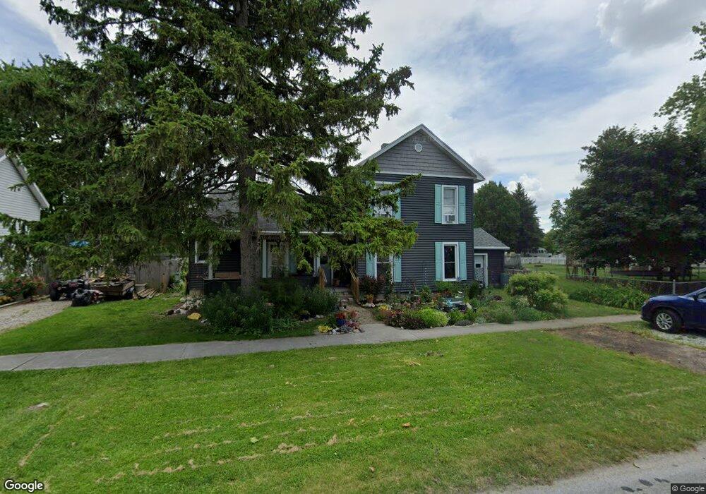
About This Home
This home is located at 13120 Maple St, Weston, OH 43569 and is currently estimated at $133,333, approximately $77 per square foot. 13120 Maple St is a home located in Wood County with nearby schools including Otsego Elementary School, Otsego Junior High School, and Otsego High School.
Ownership History
We collect this data history from publicly available records. To have your information removed, we recommend requesting removal directly through your county’s website.
Purchase Details
Home Financials for this Owner
Home Financials are based on the most recent Mortgage that was taken out on this home.Purchase Details
Purchase History
We collect this data history from publicly available records. To have your information removed, we recommend requesting removal directly through your county’s website.
| Date | Buyer | Sale Price | Title Company |
|---|---|---|---|
| $38,000 | -- | ||
| $34,900 | -- |
Mortgage History
We collect this data history from publicly available records. To have your information removed, we recommend requesting removal directly through your county’s website.
| Date | Status | Borrower | Loan Amount |
|---|---|---|---|
| Closed | $36,100 |
Tax History
We collect this data history from publicly available records. To have your information removed, we recommend requesting removal directly through your county’s website.
| Year | Tax Paid | Tax Assessment Tax Assessment Total Assessment is a certain percentage of the fair market value that is determined by local assessors to be the total taxable value of land and additions on the property. | Land | Improvement |
|---|---|---|---|---|
| 2025 | $700 | $16,800 | $3,955 | $12,845 |
| 2024 | $715 | $16,800 | $3,955 | $12,845 |
| 2023 | $715 | $16,810 | $3,960 | $12,850 |
| 2021 | $720 | $15,370 | $3,960 | $11,410 |
| 2020 | $724 | $15,370 | $3,960 | $11,410 |
| 2019 | $68 | $13,800 | $3,960 | $9,840 |
| 2018 | $654 | $13,800 | $3,960 | $9,840 |
| 2017 | $628 | $13,800 | $3,960 | $9,840 |
| 2016 | $590 | $13,030 | $3,960 | $9,070 |
| 2015 | $590 | $13,030 | $3,960 | $9,070 |
| 2014 | $607 | $13,030 | $3,960 | $9,070 |
| 2013 | $664 | $13,030 | $3,960 | $9,070 |
Map
- 20390 Locust St
- 20280 Locust St
- 13270 Maple St
- 13375 Silver St
- 20240 Oak St
- 13325 Main St
- 20175 Taylor St
- 20750 Taylor St
- 13795 Van Tassel Rd
- 15699 Otsego Pike
- 15488 Green Rd
- 14590 Liberty Hi Rd
- 17345 Reams Rd
- 22759 Defiance Pike
- 8931 France Ave
- 16537 Wapakoneta Rd
- 0 Kellogg Rd Unit 6125521
- 16896 Long Judson Rd
- 916 Kathy Dr
- 1738 Dolly Dr
- 13160 Maple St
- 20350 Locust St
- 13150 Maple St
- 13170 Maple St
- 20365 Locust St
- 13155 Maple St
- 13140 Maple St
- 20405 Locust St
- 20405 Locust St
- 13180 Maple St
- 20335 Walnut St
- 13130 Maple St
- 20415 Locust St
- 20415 Locust St
- 20355 Locust St
- 0 Mill St
- 20325 Walnut St
- 20430 Locust St
- 20345 Locust St
- 20425 Locust St
Ask me questions while you tour the home.