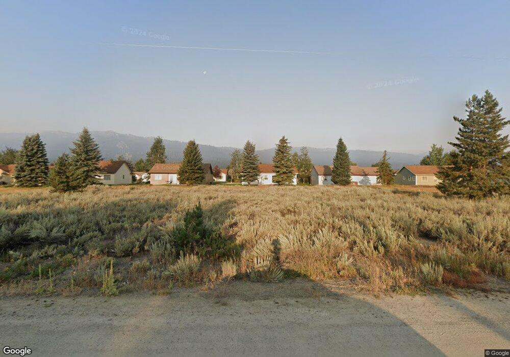
13121 Cameron Dr Unit 6 Donnelly, ID 83615
Estimated Value: $418,000 - $1,050,000
Studio
--
Bath
--
Sq Ft
0.48
Acres Lot
About This Home
This home is located at 13121 Cameron Dr Unit 6, Donnelly, ID 83615 and is currently estimated at $734,000. 13121 Cameron Dr Unit 6 is a home located in Valley County with nearby schools including Donnelly Elementary School and McCall-Donnelly High School.
Ownership History
Date
Name
Owned For
Owner Type
Purchase Details
Closed on
Dec 6, 2021
Sold by
Rota Nicole
Bought by
Sears Trisha
Current Estimated Value
Purchase Details
Closed on
Nov 13, 2018
Sold by
Gibbens Dorothy Joan
Bought by
Rota Nicole and Sears Trisha
Purchase Details
Closed on
Jan 11, 2010
Sold by
Gibbens Dorothy J
Bought by
Gibbens Dorothy Joan
Purchase Details
Closed on
May 1, 2007
Sold by
Lyda Patrick B and Lyda Erin M
Bought by
Parsons Henry C and Parsons Lucille M
Purchase Details
Closed on
Jan 27, 2006
Sold by
Gibbens Edward M and Gibbens Dorothy J
Bought by
Lyda Patrick B and Lyda Erin M
Home Financials for this Owner
Home Financials are based on the most recent Mortgage that was taken out on this home.
Original Mortgage
$63,920
Interest Rate
6.28%
Mortgage Type
Seller Take Back
Create a Home Valuation Report for This Property
The Home Valuation Report is an in-depth analysis detailing your home's value as well as a comparison with similar homes in the area
Home Values in the Area
Average Home Value in this Area
Purchase History
We collect this data history from publicly available records. To have your information removed, we recommend requesting removal directly through your county’s website.
| Date | Buyer | Sale Price | Title Company |
|---|---|---|---|
| Sears Trisha | -- | None Listed On Document | |
| Rota Nicole | -- | Amerititle Cascade | |
| Gibbens Dorothy Joan | -- | -- | |
| Parsons Henry C | -- | -- | |
| Lyda Patrick B | -- | -- |
Source: Public Records
Mortgage History
We collect this data history from publicly available records. To have your information removed, we recommend requesting removal directly through your county’s website.
| Date | Status | Borrower | Loan Amount |
|---|---|---|---|
| Previous Owner | Lyda Patrick B | $63,920 |
Source: Public Records
Tax History
| Year | Tax Paid | Tax Assessment Tax Assessment Total Assessment is a certain percentage of the fair market value that is determined by local assessors to be the total taxable value of land and additions on the property. | Land | Improvement |
|---|---|---|---|---|
| 2025 | $340 | $161,610 | $161,610 | -- |
| 2023 | $340 | $146,918 | $146,918 | $0 |
| 2022 | $438 | $157,050 | $157,050 | $0 |
| 2021 | $242 | $55,774 | $55,774 | $0 |
| 2020 | $185 | $35,673 | $35,673 | $0 |
| 2019 | $153 | $27,534 | $27,534 | $0 |
| 2018 | $168 | $27,797 | $27,797 | $0 |
| 2017 | $209 | $31,398 | $31,398 | $0 |
| 2016 | $196 | $29,178 | $29,178 | $0 |
| 2015 | $93 | $26,495 | $0 | $0 |
| 2013 | -- | $20,847 | $0 | $0 |
Source: Public Records
Map
Nearby Homes
- 54 Charters Dr
- 13124 Cameron Dr Unit 4
- Lot 4 Hideout Dr Unit 4
- Lot 6 Hideout Dr Unit 6
- 35 Moore Rd
- 26 Mangum Cir Unit 5
- 24 Mangum Dr Unit # 1 Unit 1
- 24 Mangum Cir Unit 1
- 15 Buckskin Dr
- 21 Mangum Cir Unit 7
- 21 Mangum Cir Unit 7
- 53 Norwood Place
- 40 Mangum Cir Unit 8
- 34 Mangum Cir Unit 8
- 1808 Schultz
- 1808 Schultz Unit 12
- 13091 Hill House Loop
- 1816 Schultz
- 152 Forest Place
- 13130 Crane Shore Dr
- 13121 Cameron Dr
- 48 Charters Dr
- 13119 Cameron Dr
- 13119 Cameron Dr Unit 7
- 46 Charters Dr
- 50 Charters Dr
- 44 Charters Dr
- 52 Charters Dr
- 13118 Cameron Dr
- 42 Charters Dr
- 13117 Cameron Dr
- 13125 Cameron Dr
- 13125 Cameron Dr Unit 4
- 49 Charters Dr
- 47 Charters Dr
- 13120 Cameron Dr
- 51 Charters Dr
- 45 Charters Dr
- 53 Charters Dr
- 56 Charters Dr
Your Personal Tour Guide
Ask me questions while you tour the home.