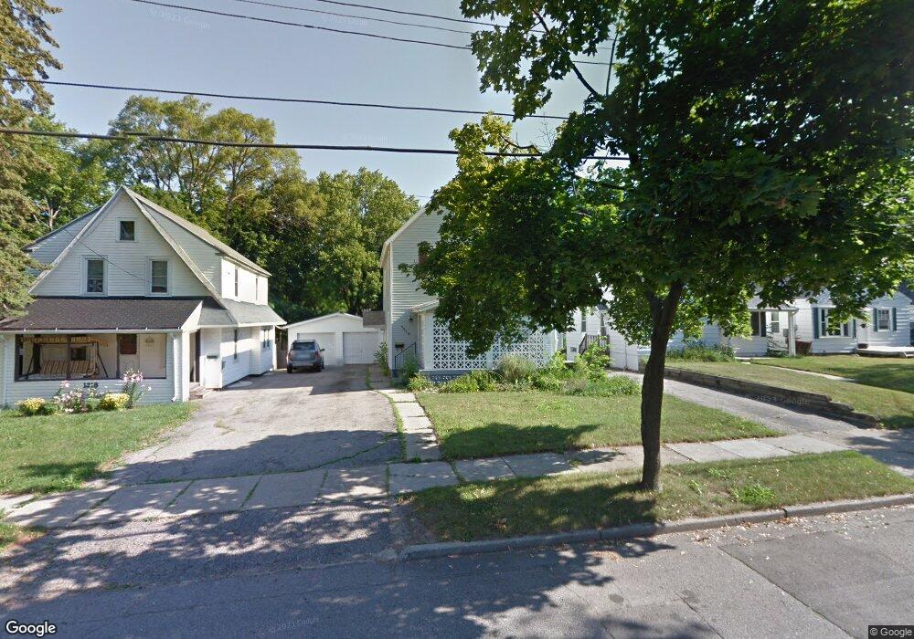
1314 Alsdorf St Lansing, MI 48910
Quentin Park NeighborhoodEstimated Value: $171,000 - $185,000
3
Beds
1
Bath
2,058
Sq Ft
$85/Sq Ft
Est. Value
About This Home
This home is located at 1314 Alsdorf St, Lansing, MI 48910 and is currently estimated at $175,054, approximately $85 per square foot. 1314 Alsdorf St is a home located in Ingham County with nearby schools including Averill Elementary School, Pattengill Academy, and J.W. Sexton High School.
Ownership History
Date
Name
Owned For
Owner Type
Purchase Details
Closed on
Mar 15, 2017
Sold by
Mcpeak Merri
Bought by
Clinard Garrett
Current Estimated Value
Purchase Details
Closed on
Apr 1, 2003
Sold by
Mcpeak Merri and Mcpeak Tuohy Merri
Bought by
Mcpeak Merri
Home Financials for this Owner
Home Financials are based on the most recent Mortgage that was taken out on this home.
Original Mortgage
$120,000
Interest Rate
5.95%
Mortgage Type
Purchase Money Mortgage
Purchase Details
Closed on
Apr 1, 1995
Create a Home Valuation Report for This Property
The Home Valuation Report is an in-depth analysis detailing your home's value as well as a comparison with similar homes in the area
Home Values in the Area
Average Home Value in this Area
Purchase History
We collect this data history from publicly available records. To have your information removed, we recommend requesting removal directly through your county’s website.
| Date | Buyer | Sale Price | Title Company |
|---|---|---|---|
| Clinard Garrett | $5,000 | None Available | |
| Mcpeak Merri | -- | Chebalem Title & Escrow | |
| -- | $69,500 | -- |
Source: Public Records
Mortgage History
We collect this data history from publicly available records. To have your information removed, we recommend requesting removal directly through your county’s website.
| Date | Status | Borrower | Loan Amount |
|---|---|---|---|
| Previous Owner | Mcpeak Merri | $120,000 |
Source: Public Records
Tax History
| Year | Tax Paid | Tax Assessment Tax Assessment Total Assessment is a certain percentage of the fair market value that is determined by local assessors to be the total taxable value of land and additions on the property. | Land | Improvement |
|---|---|---|---|---|
| 2025 | $3,109 | $81,800 | $6,700 | $75,100 |
| 2024 | $30 | $74,600 | $6,700 | $67,900 |
| 2023 | $3,538 | $66,300 | $6,700 | $59,600 |
| 2022 | $3,187 | $60,400 | $7,400 | $53,000 |
| 2021 | $3,121 | $57,500 | $7,000 | $50,500 |
| 2020 | $3,102 | $54,500 | $7,000 | $47,500 |
| 2019 | $5,248 | $50,300 | $7,000 | $43,300 |
| 2018 | $2,786 | $46,900 | $7,000 | $39,900 |
| 2017 | $3,193 | $46,900 | $7,000 | $39,900 |
| 2016 | $5,745 | $44,800 | $7,000 | $37,800 |
| 2015 | $5,745 | $43,400 | $13,949 | $29,451 |
| 2014 | $5,745 | $41,300 | $16,141 | $25,159 |
Source: Public Records
Map
Nearby Homes
- 1309 Hammond St
- 1120 Alsdorf St
- 1633 Park Ave
- 1116 George St
- 917 W Barnes Ave
- 1312 W Mount Hope Ave
- 1830 Fletcher St
- 1209 W Mount Hope Ave
- 1740 Wellington Rd Unit 207
- 1740 Wellington Rd Unit 103
- 1912 Moores River Dr
- 1823 Delevan Ave
- 1824 S Rundle Ave
- 1601 W Malcolm x St
- 1208 Gordon Ave
- 712 Lenore Ave
- 516 Smith Ave
- 612 W Mount Hope Ave
- 1810 Cooper Ave
- 1510 W Saint Joseph St
- 1318 Alsdorf St
- 1310 Alsdorf St
- 1308 Alsdorf St
- 1304 Alsdorf St
- 1417 Park Ave
- 1324 Alsdorf St
- 1317 Pulaski St
- 1311 Pulaski St
- 1415 Park Ave
- 1300 Alsdorf St
- 1309 Pulaski St
- 1303 Pulaski St
- 1501 Park Ave
- 1315 Alsdorf St
- 1309 Alsdorf St
- 1325 Pulaski St
- 1507 Park Ave
- 1301 Alsdorf St
- 1509 Park Ave
- 1220 Alsdorf St
Your Personal Tour Guide
Ask me questions while you tour the home.