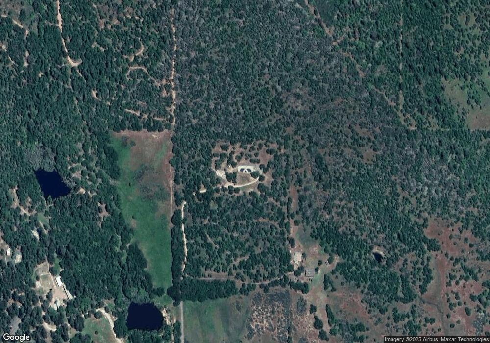
13141 Perry Rd Central Point, OR 97502
Estimated Value: $483,844 - $596,000
About This Home
This home is located at 13141 Perry Rd, Central Point, OR 97502 and is currently estimated at $542,281, approximately $286 per square foot. 13141 Perry Rd is a home located in Jackson County with nearby schools including Sams Valley Elementary School, Hanby Middle School, and Crater High School.
Ownership History
We collect this data history from publicly available records. To have your information removed, we recommend requesting removal directly through your county’s website.
Purchase Details
Home Financials for this Owner
Home Financials are based on the most recent Mortgage that was taken out on this home.Purchase History
We collect this data history from publicly available records. To have your information removed, we recommend requesting removal directly through your county’s website.
| Date | Buyer | Sale Price | Title Company |
|---|---|---|---|
| $385,000 | First American Title |
Mortgage History
We collect this data history from publicly available records. To have your information removed, we recommend requesting removal directly through your county’s website.
| Date | Status | Borrower | Loan Amount |
|---|---|---|---|
| Open | $365,750 |
Tax History
We collect this data history from publicly available records. To have your information removed, we recommend requesting removal directly through your county’s website.
| Year | Tax Paid | Tax Assessment Tax Assessment Total Assessment is a certain percentage of the fair market value that is determined by local assessors to be the total taxable value of land and additions on the property. | Land | Improvement |
|---|---|---|---|---|
| 2026 | $3,460 | $290,000 | -- | -- |
| 2025 | $3,367 | $281,560 | $85,590 | $195,970 |
| 2024 | $3,367 | $273,360 | $83,090 | $190,270 |
| 2023 | $3,260 | $265,400 | $80,660 | $184,740 |
| 2022 | $3,183 | $265,400 | $80,660 | $184,740 |
| 2021 | $3,092 | $257,670 | $78,320 | $179,350 |
| 2020 | $3,002 | $250,170 | $76,040 | $174,130 |
| 2019 | $2,932 | $235,820 | $71,670 | $164,150 |
| 2018 | $2,841 | $228,960 | $69,580 | $159,380 |
| 2017 | $2,778 | $228,960 | $69,580 | $159,380 |
| 2016 | $2,697 | $215,830 | $65,580 | $150,250 |
| 2015 | $2,599 | $215,830 | $65,580 | $150,250 |
| 2014 | $2,536 | $203,450 | $61,810 | $141,640 |
Map
- 13007 Perry Rd
- 0 Duggan Rd Unit 220198974
- 11775 Michael Rd
- 11339 Michael Rd
- 13290 Table Rock Rd
- 8791 Highway 234
- 7426 Denman Ct
- 10695 Killdee Ave
- 110 Mcdonalds Way
- 0 Oregon 234
- 16445 Meadows Rd
- 0 Modoc Rd Unit 500
- 11322 Modoc Rd
- 693 Ironwood Dr
- 12214 Modoc Rd
- 12240 Modoc Rd Unit A
- 12240 Modoc Rd Unit B
- 12240 Modoc Rd Unit C
- 158 Rockingham Cir
- 0 Rogue River Dr Unit 220215041
- 13235 Perry Rd
- 13125 Perry Rd
- 13127 Perry Rd
- 13115 Perry Rd
- 13241 Perry Rd
- 13084 Perry Rd
- 6740 Dodge Rd
- 13673 Duggan Rd
- 13515 Duggan Rd
- 13121 Perry Rd
- 13508 Duggan Rd
- 13822 Perry Rd
- 13545 Duggan Rd
- 13800 Duggan Rd
- 13750 Duggan Rd
- 13500 Duggan Rd
- 13539 Duggan Rd
- 6708 Dodge Rd
- 13908 Duggan Rd
- 14363 Duggan Rd
Ask me questions while you tour the home.