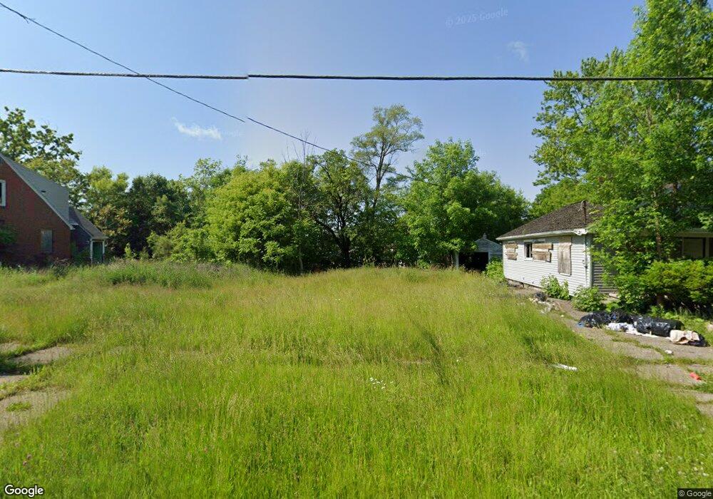
1317 Stevenson St Flint, MI 48504
Downtown Flint NeighborhoodEstimated Value: $94,000
3
Beds
1
Bath
1,083
Sq Ft
$87/Sq Ft
Est. Value
About This Home
This home is located at 1317 Stevenson St, Flint, MI 48504 and is currently estimated at $94,000, approximately $86 per square foot. 1317 Stevenson St is a home located in Genesee County with nearby schools including Doyle/Ryder School, St John Vianney Catholic School, and St. Paul Lutheran School.
Ownership History
Date
Name
Owned For
Owner Type
Purchase Details
Closed on
Dec 17, 2015
Sold by
Genesee County
Bought by
Genesee County Land Bank
Current Estimated Value
Purchase Details
Closed on
Apr 16, 2001
Sold by
Aames Funding Corp
Bought by
Banner Sonia
Purchase Details
Closed on
Jun 14, 2000
Sold by
Bellinger Gary N and Bellinger Sharon Kay
Bought by
Aames Funding Corp and Aames Home Loan
Purchase Details
Closed on
Mar 4, 1999
Sold by
Bellinger Bellinger G and Bellinger S K
Bought by
Bellinger Gary N and Bellinger Sharon Kay
Create a Home Valuation Report for This Property
The Home Valuation Report is an in-depth analysis detailing your home's value as well as a comparison with similar homes in the area
Home Values in the Area
Average Home Value in this Area
Purchase History
| Date | Buyer | Sale Price | Title Company |
|---|---|---|---|
| Genesee County Land Bank | -- | None Available | |
| Banner Sonia | $5,000 | First American Title Ins Co | |
| Aames Funding Corp | $29,082 | -- | |
| Bellinger Gary N | -- | Title Quest |
Source: Public Records
Tax History
| Year | Tax Paid | Tax Assessment Tax Assessment Total Assessment is a certain percentage of the fair market value that is determined by local assessors to be the total taxable value of land and additions on the property. | Land | Improvement |
|---|---|---|---|---|
| 2025 | -- | $0 | $0 | $0 |
| 2024 | -- | $0 | $0 | $0 |
| 2023 | -- | $0 | $0 | $0 |
| 2022 | $0 | $0 | $0 | $0 |
| 2021 | $0 | $0 | $0 | $0 |
| 2020 | $0 | $0 | $0 | $0 |
| 2019 | $0 | $0 | $0 | $0 |
| 2018 | $0 | $0 | $0 | $0 |
| 2017 | $2,192 | $0 | $0 | $0 |
| 2016 | $0 | $0 | $0 | $0 |
| 2015 | -- | $0 | $0 | $0 |
| 2014 | -- | $0 | $0 | $0 |
| 2012 | -- | $7,500 | $0 | $0 |
Source: Public Records
Map
Nearby Homes
- 1409 Prospect St
- 1717 Wolcott St
- 1016 Dupont St
- 1008 Dupont St
- 1801 Clement St
- 2001 Mackin Rd
- 1930 Concord St
- 2023 Cadillac St
- 808 N Chevrolet Ave
- 2410 Sloan St
- 751 Dupont St
- 2309 Barth St
- 2026 Monteith St
- 1645 Seminole St
- 2302 Mallery St
- 1620 Mason St
- 2602 Sloan St
- 1651 N Chevrolet Ave
- 2513 Tiffin St
- 2509 Barth St
- 1313 Stevenson St
- 1321 Stevenson St
- 1309 Stevenson St
- 1325 Stevenson St
- 1305 Stevenson St
- 1409 Stevenson St
- 1125 Frost St
- 1301 Stevenson St
- 1413 Stevenson St
- 1320 Stevenson St
- 1318 Stevenson St
- 1314 Stevenson St
- 1402 Stevenson St
- 1308 Stevenson St
- 1406 Stevenson St
- 1117 Frost St
- 1304 Stevenson St
- 1410 Stevenson St
- 1414 Stevenson St
- 1300 Stevenson St
Your Personal Tour Guide
Ask me questions while you tour the home.