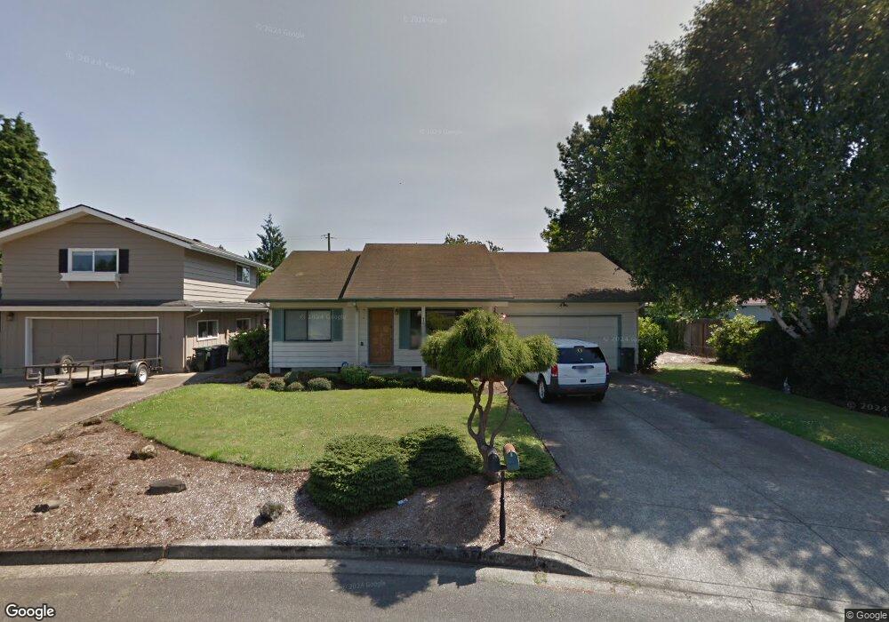
1318 Roundup Dr Eugene, OR 97401
Harlow NeighborhoodEstimated Value: $439,000 - $468,000
3
Beds
2
Baths
1,232
Sq Ft
$365/Sq Ft
Est. Value
About This Home
This home is located at 1318 Roundup Dr, Eugene, OR 97401 and is currently estimated at $450,002, approximately $365 per square foot. 1318 Roundup Dr is a home located in Lane County with nearby schools including Holt Elementary School, Monroe Middle School, and Sheldon High School.
Ownership History
Date
Name
Owned For
Owner Type
Purchase Details
Closed on
Jan 18, 2006
Sold by
Phillipo Betty Lou
Bought by
Phillipo Dorothy M
Current Estimated Value
Home Financials for this Owner
Home Financials are based on the most recent Mortgage that was taken out on this home.
Original Mortgage
$15,000
Interest Rate
5.87%
Mortgage Type
Stand Alone Second
Purchase Details
Closed on
Mar 11, 1999
Sold by
Prentice Marla J
Bought by
Phillipo Kathleen
Create a Home Valuation Report for This Property
The Home Valuation Report is an in-depth analysis detailing your home's value as well as a comparison with similar homes in the area
Home Values in the Area
Average Home Value in this Area
Purchase History
| Date | Buyer | Sale Price | Title Company |
|---|---|---|---|
| Phillipo Dorothy M | $231,000 | First American Title | |
| Phillipo Kathleen | $128,800 | Key Title Company |
Source: Public Records
Mortgage History
| Date | Status | Borrower | Loan Amount |
|---|---|---|---|
| Closed | Phillipo Dorothy M | $15,000 | |
| Open | Phillipo Dorothy M | $181,300 |
Source: Public Records
Tax History
| Year | Tax Paid | Tax Assessment Tax Assessment Total Assessment is a certain percentage of the fair market value that is determined by local assessors to be the total taxable value of land and additions on the property. | Land | Improvement |
|---|---|---|---|---|
| 2025 | $4,645 | $238,402 | -- | -- |
| 2024 | $4,587 | $231,459 | -- | -- |
| 2023 | $4,587 | $224,718 | $0 | $0 |
| 2022 | $4,297 | $218,173 | $0 | $0 |
| 2021 | $4,036 | $211,819 | $0 | $0 |
| 2020 | $4,051 | $205,650 | $0 | $0 |
| 2019 | $3,912 | $199,661 | $0 | $0 |
| 2018 | $3,682 | $188,200 | $0 | $0 |
| 2017 | $3,484 | $188,200 | $0 | $0 |
| 2016 | $3,343 | $182,718 | $0 | $0 |
| 2015 | $3,227 | $177,396 | $0 | $0 |
| 2014 | $3,158 | $172,229 | $0 | $0 |
Source: Public Records
Map
Nearby Homes
- 0 Sprig Ln Unit Lot 3
- 0 Sprig Ln Unit Lot 3 766109892
- 2956 Willakenzie Rd
- 1491 Victorian Way
- 1564 Regency Dr
- 1271 Arcadia Dr
- 825 Waverly St
- 1630 Ridgley Blvd
- 950 Coburg Rd
- 1090 Corydon St
- 2872 Suffolk Ct
- 3700 Babcock Ln Unit 106
- 2746 Harlow Rd
- 2345 Pioneer Pike
- 600 Cherry Dr Unit 8
- 600 Cherry Dr Unit 3
- 2994 Dapple Way
- 2580 Elysium Ave
- 349 van Duyn St
- 2495 Jeppesen Acres Rd
Your Personal Tour Guide
Ask me questions while you tour the home.