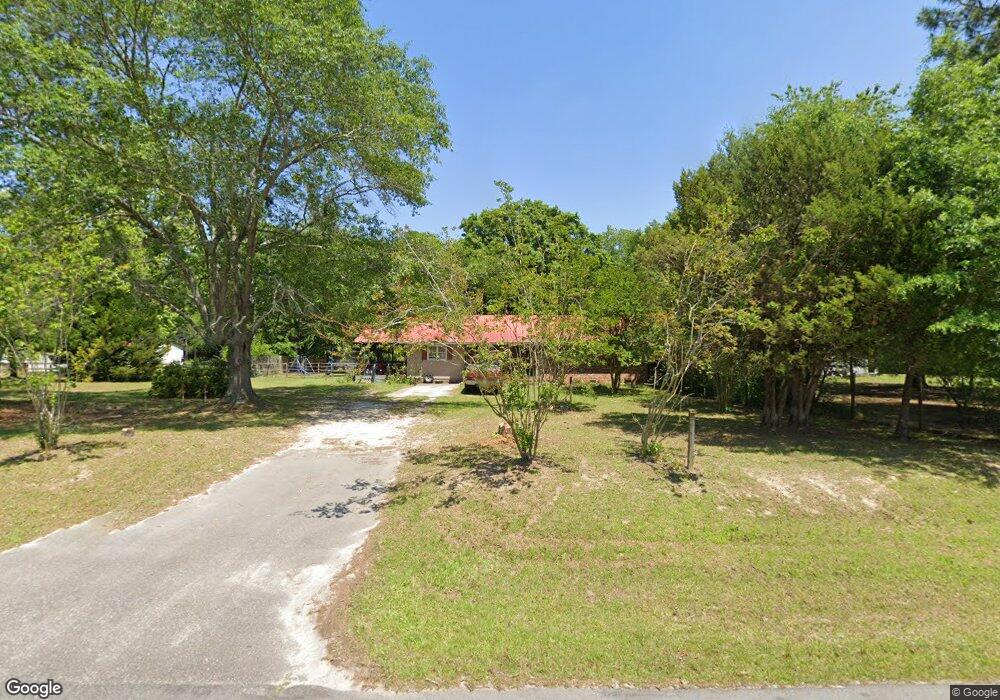
1319 Nesbit Rd Manning, SC 29102
Estimated Value: $146,437 - $226,000
3
Beds
2
Baths
1,459
Sq Ft
$128/Sq Ft
Est. Value
About This Home
This home is located at 1319 Nesbit Rd, Manning, SC 29102 and is currently estimated at $187,109, approximately $128 per square foot. 1319 Nesbit Rd is a home located in Clarendon County.
Ownership History
Date
Name
Owned For
Owner Type
Purchase Details
Closed on
Mar 4, 2020
Sold by
Torman Kayla and Torman Nicholas
Bought by
Torman Kayla
Current Estimated Value
Purchase Details
Closed on
Dec 11, 2017
Sold by
Hipp Virginia H
Bought by
Torman Kayla and Torman Nicholas
Home Financials for this Owner
Home Financials are based on the most recent Mortgage that was taken out on this home.
Original Mortgage
$66,519
Outstanding Balance
$55,188
Interest Rate
3.75%
Mortgage Type
FHA
Estimated Equity
$131,921
Create a Home Valuation Report for This Property
The Home Valuation Report is an in-depth analysis detailing your home's value as well as a comparison with similar homes in the area
Purchase History
| Date | Buyer | Sale Price | Title Company |
|---|---|---|---|
| Torman Kayla | -- | None Available | |
| Torman Kayla | $68,000 | None Available |
Source: Public Records
Mortgage History
| Date | Status | Borrower | Loan Amount |
|---|---|---|---|
| Open | Torman Kayla | $66,519 |
Source: Public Records
Tax History
| Year | Tax Paid | Tax Assessment Tax Assessment Total Assessment is a certain percentage of the fair market value that is determined by local assessors to be the total taxable value of land and additions on the property. | Land | Improvement |
|---|---|---|---|---|
| 2025 | $745 | $3,492 | $560 | $2,932 |
| 2024 | $745 | $3,492 | $560 | $2,932 |
| 2023 | $731 | $3,492 | $560 | $2,932 |
| 2022 | $723 | $3,492 | $560 | $2,932 |
| 2020 | $513 | $2,692 | $460 | $2,232 |
| 2019 | $475 | $2,692 | $460 | $2,232 |
| 2018 | $446 | $2,692 | $0 | $0 |
| 2017 | $447 | $2,692 | $0 | $0 |
| 2016 | $432 | $2,692 | $0 | $0 |
| 2015 | $460 | $2,824 | $460 | $2,364 |
| 2014 | $1,294 | $4,236 | $690 | $3,546 |
| 2013 | -- | $2,310 | $238 | $2,072 |
Source: Public Records
Map
Nearby Homes
- 1763 Kingstree Hwy
- 1760 Baggette Rd
- tbd Mallett Rd
- 0 Holladay Rd
- 1826 Bethlehem Rd
- 0 June Burn Rd
- 5879 Bloomville Rd
- 1231 Cherokee Dr
- 1060 Hideout Dr
- 1194 Mulligan Dr
- 1208 Heritage Dr
- 1200 Mulligan Dr
- 1052 Mulligan Dr
- 1064 Mulligan Dr
- 1613 Shadewater Way
- 1092 Mulligan Dr
- 1100 Mulligan Dr
- 1116 Mulligan Dr
- 1130 Mulligan Dr
- 1063 Birdie Ct
- 1303 Nesbit Rd
- 1375 Nesbit Rd
- 1241 Nesbit Rd
- 2986 Kingstree Hwy
- 3009 Kingstree Hwy
- 2799 Kingstree Hwy
- 0 Nesbit Rd Unit 101733
- 0 Nesbit Rd Unit 1407278
- 1108 Coventry Trail
- 2913 Kingstree Hwy
- 1924 Nesbit Rd
- 1802 Nesbit Rd
- 1809 Nesbit Rd
- 1247 Coventry Trail
- 3470 Kingstree Hwy
- Lot A484 Coventry Trail
- TBD Coventry Trail
- 0 Coventry Trail Unit 118613
- 0 Coventry Trail Unit 55536
- 0 Coventry Trail Unit 1400981
Your Personal Tour Guide
Ask me questions while you tour the home.