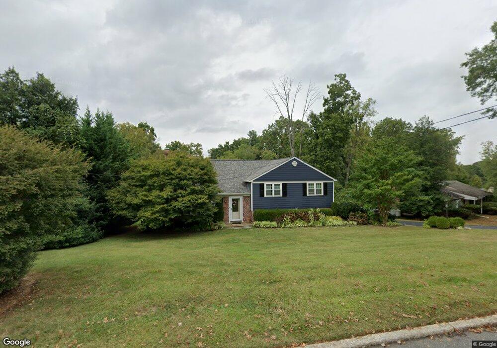
132 Brookside Rd Newtown Square, PA 19073
Newtown Square AreaEstimated Value: $645,000 - $731,000
About This Home
This home is located at 132 Brookside Rd, Newtown Square, PA 19073 and is currently estimated at $691,623, approximately $329 per square foot. 132 Brookside Rd is a home located in Delaware County with nearby schools including Culbertson Elementary School, Paxon Hollow Middle School, and Marple Newtown Senior High School.
Ownership History
We collect this data history from publicly available records. To have your information removed, we recommend requesting removal directly through your county’s website.
Purchase Details
Purchase Details
Home Financials for this Owner
Home Financials are based on the most recent Mortgage that was taken out on this home.Home Values in the Area
Average Home Value in this Area
Purchase History
We collect this data history from publicly available records. To have your information removed, we recommend requesting removal directly through your county’s website.
| Date | Buyer | Sale Price | Title Company |
|---|---|---|---|
| -- | None Available | ||
| $310,000 | -- |
Mortgage History
We collect this data history from publicly available records. To have your information removed, we recommend requesting removal directly through your county’s website.
| Date | Status | Borrower | Loan Amount |
|---|---|---|---|
| Open | $280,000 | ||
| Closed | $208,000 | ||
| Closed | $188,000 |
Tax History
We collect this data history from publicly available records. To have your information removed, we recommend requesting removal directly through your county’s website.
| Year | Tax Paid | Tax Assessment Tax Assessment Total Assessment is a certain percentage of the fair market value that is determined by local assessors to be the total taxable value of land and additions on the property. | Land | Improvement |
|---|---|---|---|---|
| 2026 | $7,583 | $413,830 | $139,460 | $274,370 |
| 2025 | $6,887 | $413,830 | $139,460 | $274,370 |
| 2024 | $6,887 | $413,830 | $139,460 | $274,370 |
| 2023 | $6,670 | $413,830 | $139,460 | $274,370 |
| 2022 | $6,524 | $413,830 | $139,460 | $274,370 |
| 2021 | $9,973 | $413,830 | $139,460 | $274,370 |
| 2020 | $5,015 | $182,810 | $72,260 | $110,550 |
| 2019 | $4,935 | $182,810 | $72,260 | $110,550 |
| 2018 | $4,881 | $182,810 | $0 | $0 |
| 2017 | $4,865 | $182,810 | $0 | $0 |
| 2016 | $1,003 | $182,810 | $0 | $0 |
| 2015 | $1,003 | $182,810 | $0 | $0 |
| 2014 | $1,003 | $182,810 | $0 | $0 |
Map
- 135 Bryn Mawr Ave
- 3546 Woodcrest Ave
- 1 Radnor Dr Unit E4
- 138 Rockwood Rd
- 66 Northwood Rd
- 302 Earles Ln
- 13 Mulberry Ln
- 3113 Green Valley Rd
- 201 3rd Ave
- 210 3rd Ave
- 207 Second Ave
- 27 Mary Jane Ln Unit 808
- 31 Evergreen Ave
- 736 Governor Cir
- 334 Foxtail Ln
- 34 Mary Jane Ln
- 242 Charles Ellis Dr
- 49 James Rd
- 209 E Chelsea Cir Unit 209
- 3543 Muirwood Dr
- 130 Brookside Rd
- 134 Brookside Rd
- 136 Brookside Rd
- 128 Brookside Rd
- 135 Brookside Rd
- 131 Brookside Rd
- 137 Brookside Rd
- 129 Brookside Rd
- 127 Brookside Rd
- 139 Brookside Rd
- 147 Ashley Rd
- 138 Brookside Rd
- 126 Brookside Rd
- 145 Ashley Rd
- 143 Ashley Rd
- 141 Brookside Rd
- 125 Brookside Rd
- 149 Ashley Rd
- 107 Furlong Ave
- 124 Brookside Rd
Ask me questions while you tour the home.