Estimated Value: $631,000 - $901,000
6
Beds
5
Baths
3,023
Sq Ft
$258/Sq Ft
Est. Value
About This Home
This home is located at 1321 Stockton Rd, Joppa, MD 21085 and is currently estimated at $779,592, approximately $257 per square foot. 1321 Stockton Rd is a home located in Harford County with nearby schools including Youths Benefit Elementary School, Fallston Middle School, and Fallston High School.
Ownership History
Date
Name
Owned For
Owner Type
Purchase Details
Closed on
Oct 30, 2019
Sold by
Brewer Richard A and Brewer Judith M
Bought by
Brewer Richard A and Brewer Judith M
Current Estimated Value
Purchase Details
Closed on
Mar 26, 2003
Sold by
Brocato Frank C
Bought by
Brewer Richard A and Kyle Judith M
Purchase Details
Closed on
Jun 6, 1997
Sold by
Brocato Charles C
Bought by
Brocato Frank C and Brocato Mary L
Create a Home Valuation Report for This Property
The Home Valuation Report is an in-depth analysis detailing your home's value as well as a comparison with similar homes in the area
Home Values in the Area
Average Home Value in this Area
Purchase History
We collect this data history from publicly available records. To have your information removed, we recommend requesting removal directly through your county’s website.
| Date | Buyer | Sale Price | Title Company |
|---|---|---|---|
| Brewer Richard A | -- | None Available | |
| Brewer Richard A | $147,000 | -- | |
| Brocato Frank C | -- | -- |
Source: Public Records
Mortgage History
We collect this data history from publicly available records. To have your information removed, we recommend requesting removal directly through your county’s website.
| Date | Status | Borrower | Loan Amount |
|---|---|---|---|
| Closed | Brewer Richard A | -- |
Source: Public Records
Tax History
| Year | Tax Paid | Tax Assessment Tax Assessment Total Assessment is a certain percentage of the fair market value that is determined by local assessors to be the total taxable value of land and additions on the property. | Land | Improvement |
|---|---|---|---|---|
| 2025 | $6,538 | $660,167 | $0 | $0 |
| 2024 | $6,538 | $612,133 | $0 | $0 |
| 2023 | $6,208 | $564,100 | $127,000 | $437,100 |
| 2022 | $6,039 | $548,567 | $0 | $0 |
| 2021 | $6,032 | $533,033 | $0 | $0 |
| 2020 | $6,032 | $517,500 | $127,000 | $390,500 |
| 2019 | $6,016 | $516,100 | $0 | $0 |
| 2018 | $5,946 | $514,700 | $0 | $0 |
| 2017 | $5,930 | $513,300 | $0 | $0 |
| 2016 | -- | $513,300 | $0 | $0 |
| 2015 | $7,099 | $513,300 | $0 | $0 |
| 2014 | $7,099 | $532,400 | $0 | $0 |
Source: Public Records
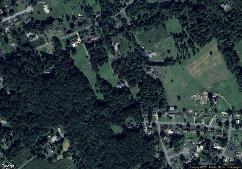
Map
Nearby Homes
- 0 W Wheel Rd Unit MDHR2045912
- 627 Berwick Ct
- 708 Royal Mile Dr
- 704 Shallow Ridge Ct
- 737 Shallow Ridge Ct
- 303 Lothian Way Unit 303
- 767 Shallow Ridge Ct
- 2222 Tidal View Garth
- 2239 Tidal View Garth
- 2242 Deadora Dr
- 525 Kirkcaldy Way
- 2140 Kyle Green Rd
- 2302 Arthurs Woods Dr
- 3103 Freestone Ct
- 518 June Apple Ct
- 587 Kirkcaldy Way
- 916 Ring Factory Rd
- 452 Deer Hill Cir
- 400 Teresa Marie Ct
- 0 Hollingsworth Rd
- 1319 Stockton Rd
- 1317 Stockton Rd
- 1325 Stockton Rd
- 1502 Lake Vista Dr
- 1504 Lake Vista Dr
- 1311 Stockton Rd
- 1500 Lake Vista Dr
- 1414 Lake Vista Dr
- 1323 Stockton Rd
- 1501 Lake Vista Dr
- 1315 Stockton Rd
- 1412 Lake Vista Dr
- 1413 Lake Vista Dr
- 1410 Lake Vista Dr
- 2904 Verbena Dr
- 1327 Stockton Rd
- 1316 Stockton Rd
- 1411 Lake Vista Dr
- 2903 Verbena Dr
- 1408 Lake Vista Dr
Your Personal Tour Guide
Ask me questions while you tour the home.