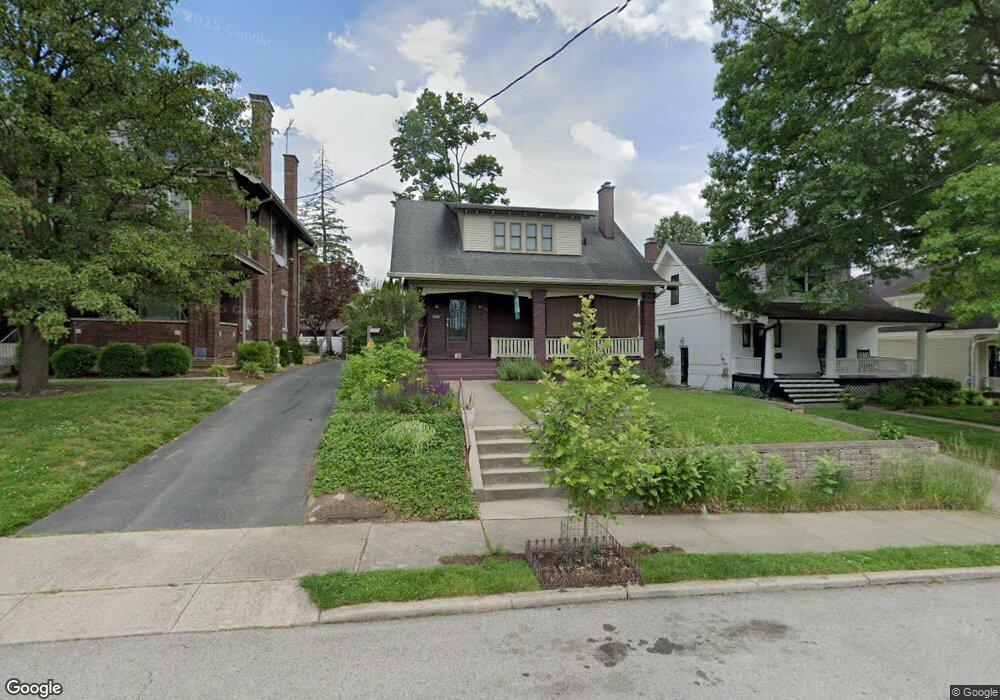
1324 Duncan Ave Cincinnati, OH 45208
Hyde Park NeighborhoodEstimated Value: $556,000 - $602,000
3
Beds
2
Baths
1,753
Sq Ft
$328/Sq Ft
Est. Value
About This Home
This home is located at 1324 Duncan Ave, Cincinnati, OH 45208 and is currently estimated at $575,552, approximately $328 per square foot. 1324 Duncan Ave is a home located in Hamilton County with nearby schools including Clark Montessori High School, Withrow University High School, and Shroder High School.
Ownership History
Date
Name
Owned For
Owner Type
Purchase Details
Closed on
Dec 22, 2017
Sold by
Peerless Brian J and Pichardo Betsy R
Bought by
Geraci Michael J and Geraci Concetta M
Current Estimated Value
Purchase Details
Closed on
May 6, 1994
Sold by
Craighead Thomas G and Craighead Susan G
Bought by
Mckillop Kristen L and Mckillop Jay
Home Financials for this Owner
Home Financials are based on the most recent Mortgage that was taken out on this home.
Original Mortgage
$128,250
Interest Rate
8.34%
Create a Home Valuation Report for This Property
The Home Valuation Report is an in-depth analysis detailing your home's value as well as a comparison with similar homes in the area
Home Values in the Area
Average Home Value in this Area
Purchase History
| Date | Buyer | Sale Price | Title Company |
|---|---|---|---|
| Geraci Michael J | $515,000 | None Available | |
| Mckillop Kristen L | -- | -- |
Source: Public Records
Mortgage History
| Date | Status | Borrower | Loan Amount |
|---|---|---|---|
| Previous Owner | Mckillop Kristen L | $128,250 |
Source: Public Records
Tax History
| Year | Tax Paid | Tax Assessment Tax Assessment Total Assessment is a certain percentage of the fair market value that is determined by local assessors to be the total taxable value of land and additions on the property. | Land | Improvement |
|---|---|---|---|---|
| 2025 | $8,935 | $146,945 | $78,985 | $67,960 |
| 2023 | $8,860 | $146,945 | $78,985 | $67,960 |
| 2022 | $7,559 | $116,890 | $57,684 | $59,206 |
| 2021 | $7,778 | $115,343 | $57,684 | $57,659 |
| 2020 | $7,778 | $115,343 | $57,684 | $57,659 |
| 2019 | $7,332 | $99,435 | $49,728 | $49,707 |
| 2018 | $7,343 | $99,435 | $49,728 | $49,707 |
| 2017 | $6,977 | $99,435 | $49,728 | $49,707 |
| 2016 | $6,593 | $92,579 | $42,798 | $49,781 |
| 2015 | $5,942 | $92,579 | $42,798 | $49,781 |
| 2014 | $5,984 | $92,579 | $42,798 | $49,781 |
| 2013 | $5,716 | $86,898 | $39,263 | $47,635 |
Source: Public Records
Map
Nearby Homes
- 2832 Linwood Ave
- 1231 Grace Ave
- 3008 Erie Ave
- 2801 Erie Ave
- 3007 Paxton Knoll Ln
- 3506 Shaw Ave
- 2800 Erie Ave
- 3570 Monteith Ave
- 3102 Kinmont St
- 3110 Kinmont St
- 1225 Corbett St
- 1318 Edwards Rd
- 3500 Michigan Ave
- 1308 Edwards Rd
- 1344 Delta Ave
- 3561 Bayard Dr
- 3246 Observatory Ave
- 3605 Shaw Ave
- 3065 Alpine Terrace
- 2880 Alpine Terrace
- 1320 Duncan Ave
- 1328 Duncan Ave
- 1318 Duncan Ave
- 1332 Duncan Ave
- 1316 Duncan Ave
- 1325 Paxton Ave
- 1329 Paxton Ave
- 1311 Paxton Ave
- 1309 Paxton Ave
- 1313 Paxton Ave
- 1313 Paxton Ave Unit 1315
- 1336 Duncan Ave
- 1333 Paxton Ave
- 1314 Duncan Ave
- 1321 Duncan Ave
- 1325 Duncan Ave
- 1315 Paxton Ave
- 1329 Duncan Ave
- 1319 Duncan Ave
- 1335 Paxton Ave
Your Personal Tour Guide
Ask me questions while you tour the home.