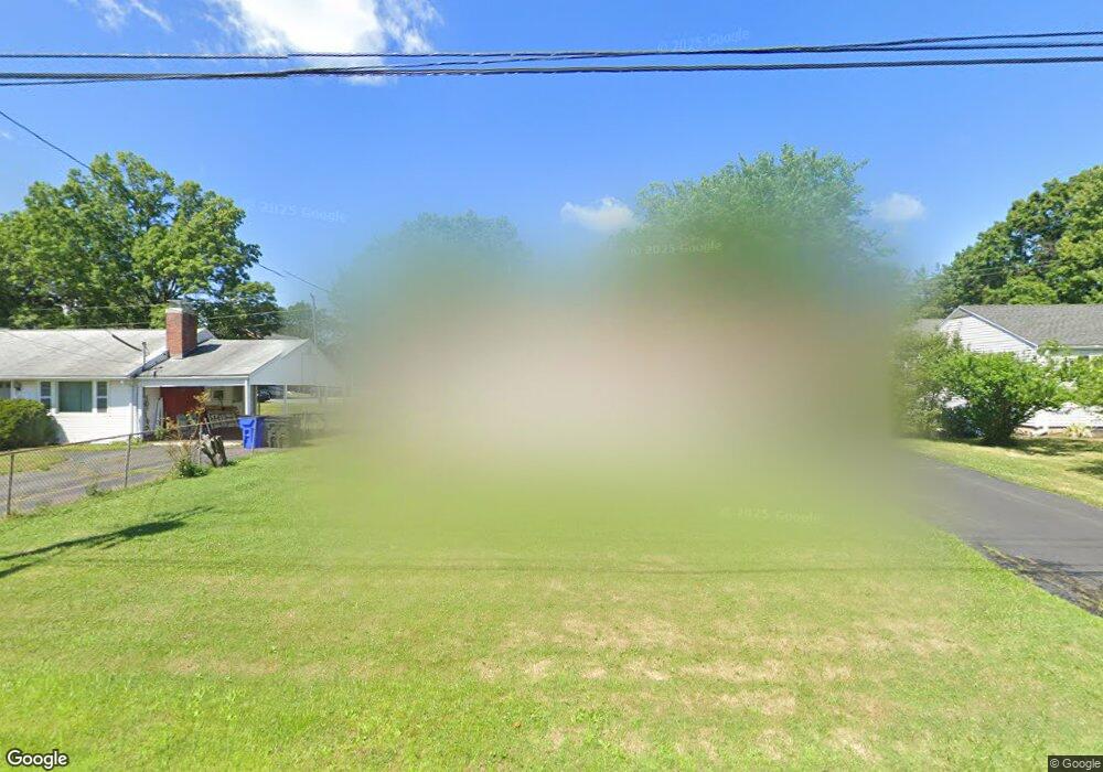
133 Brookside Cir Wethersfield, CT 06109
Estimated Value: $274,000 - $299,000
About This Home
This home is located at 133 Brookside Cir, Wethersfield, CT 06109 and is currently estimated at $284,504, approximately $359 per square foot. 133 Brookside Cir is a home located in Hartford County with nearby schools including Emerson-Williams School, Silas Deane Middle School, and Wethersfield High School.
Ownership History
We collect this data history from publicly available records. To have your information removed, we recommend requesting removal directly through your county’s website.
Purchase Details
Home Values in the Area
Average Home Value in this Area
Purchase History
We collect this data history from publicly available records. To have your information removed, we recommend requesting removal directly through your county’s website.
| Date | Buyer | Sale Price | Title Company |
|---|---|---|---|
| $139,000 | -- |
Mortgage History
We collect this data history from publicly available records. To have your information removed, we recommend requesting removal directly through your county’s website.
| Date | Status | Borrower | Loan Amount |
|---|---|---|---|
| Open | $25,000 | ||
| Closed | $35,400 | ||
| Closed | $55,417 | ||
| Closed | $63,500 |
Tax History
We collect this data history from publicly available records. To have your information removed, we recommend requesting removal directly through your county’s website.
| Year | Tax Paid | Tax Assessment Tax Assessment Total Assessment is a certain percentage of the fair market value that is determined by local assessors to be the total taxable value of land and additions on the property. | Land | Improvement |
|---|---|---|---|---|
| 2025 | $6,603 | $160,200 | $63,170 | $97,030 |
| 2024 | $4,402 | $101,860 | $58,100 | $43,760 |
| 2023 | $4,256 | $101,860 | $58,100 | $43,760 |
| 2022 | $4,184 | $101,860 | $58,100 | $43,760 |
| 2021 | $4,143 | $101,860 | $58,100 | $43,760 |
| 2020 | $4,145 | $101,860 | $58,100 | $43,760 |
| 2019 | $4,126 | $101,280 | $58,090 | $43,190 |
| 2018 | $4,139 | $101,500 | $55,000 | $46,500 |
| 2017 | $4,037 | $101,500 | $55,000 | $46,500 |
| 2016 | $3,912 | $101,500 | $55,000 | $46,500 |
| 2015 | $3,876 | $101,500 | $55,000 | $46,500 |
| 2014 | $3,729 | $101,500 | $55,000 | $46,500 |
Map
- 33 Tabshey Ct Unit 33
- 19 Albert Ave
- 11 Goodrich Dr
- 70 Ridge Crest Cir
- 41 Saxon Rd
- 14 Hillsdale Ave
- 53 Wolcott Hill Rd Unit B17
- 254 Victoria Rd
- 242 Victoria Rd
- 59 Ridge Rd
- 82 Crystal St
- 193 Wolcott Hill Rd Unit 195
- 51 Oakdale St
- 35 Lorraine Rd
- 81 Crystal St
- 249 Ridge Rd
- 25 Toll Gate Rd
- 56 Tredeau St
- 25 Crystal St
- 295 Ridge Rd Unit 9
- 33 Brookside Cir
- 27 Brookside Cir
- 39 Brookside Cir
- 128 Brookside Cir
- 132 Brookside Cir
- 122 Brookside Cir
- 43 Brookside Cir
- 34 Brookside Cir
- 28 Brookside Cir
- 40 Brookside Cir
- 142 Brookside Cir
- 116 Brookside Cir
- 22 Brookside Cir
- 17 Brookside Cir
- 44 Brookside Cir
- 49 Brookside Cir
- 148 Brookside Cir
- 112 Brookside Cir
- 127 Brookside Cir
- 121 Brookside Cir
Ask me questions while you tour the home.