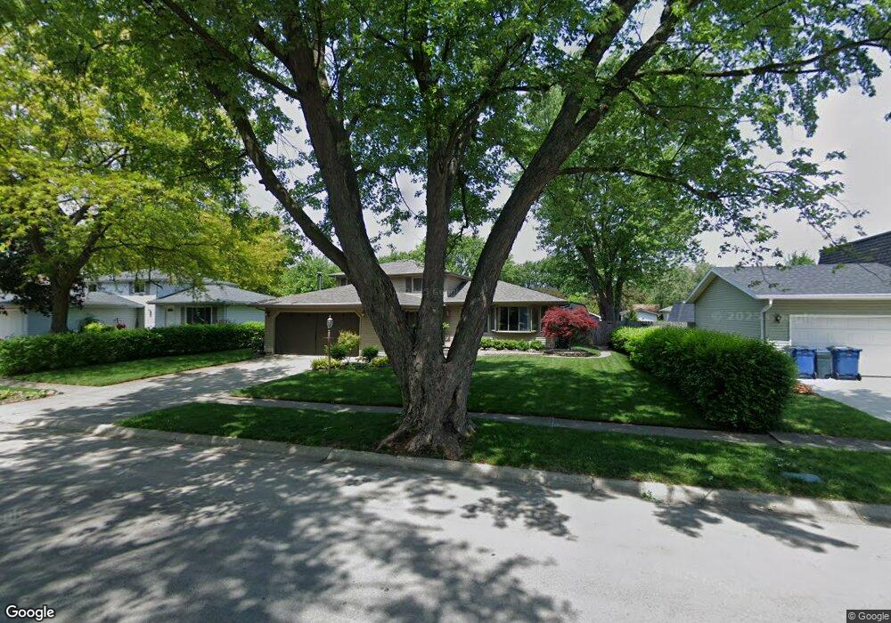
133 Kathy Dr Bourbonnais, IL 60914
Bourbonnais AreaEstimated Value: $248,579 - $272,000
About This Home
This home is located at 133 Kathy Dr, Bourbonnais, IL 60914 and is currently estimated at $264,145. 133 Kathy Dr is a home located in Kankakee County with nearby schools including Noel Levasseur Elementary School, Liberty Intermediate School, and Bourbonnais Upper Grade Center.
Ownership History
We collect this data history from publicly available records. To have your information removed, we recommend requesting removal directly through your county’s website.
Purchase Details
Home Values in the Area
Average Home Value in this Area
Purchase History
We collect this data history from publicly available records. To have your information removed, we recommend requesting removal directly through your county’s website.
| Date | Buyer | Sale Price | Title Company |
|---|---|---|---|
| $154,000 | Homestar Title |
Tax History
We collect this data history from publicly available records. To have your information removed, we recommend requesting removal directly through your county’s website.
| Year | Tax Paid | Tax Assessment Tax Assessment Total Assessment is a certain percentage of the fair market value that is determined by local assessors to be the total taxable value of land and additions on the property. | Land | Improvement |
|---|---|---|---|---|
| 2025 | $5,625 | $81,929 | $6,956 | $74,973 |
| 2024 | $5,625 | $73,923 | $6,562 | $67,361 |
| 2023 | $4,988 | $66,630 | $6,076 | $60,554 |
| 2022 | $4,753 | $61,442 | $5,856 | $55,586 |
| 2021 | $4,529 | $58,507 | $5,727 | $52,780 |
| 2020 | $4,392 | $55,934 | $5,574 | $50,360 |
| 2019 | $4,116 | $52,305 | $5,412 | $46,893 |
| 2018 | $4,011 | $50,988 | $5,332 | $45,656 |
| 2017 | $3,927 | $49,744 | $5,202 | $44,542 |
| 2016 | $3,647 | $46,713 | $5,125 | $41,588 |
| 2015 | $3,728 | $47,090 | $5,074 | $42,016 |
| 2014 | $3,580 | $47,090 | $5,074 | $42,016 |
| 2013 | -- | $46,888 | $5,074 | $41,814 |
Map
- 172 Anita Dr
- 260 Karen Dr
- 250 Highpoint Cir S
- 1602 Sun Ridge Dr
- 219 Greenbriar Ln
- 52 Emery Dr
- 3 Duncan Dr
- 1515 Eagle Bluff Dr
- 22 Jordan Dr
- 28 Jordan Dr
- 357 Princeton Ave
- 385 Princeton Ave
- Lot 5 Larry Power Rd
- Lot 4 Larry Power Rd
- 1435 Patriot Way
- 301 Meadows Rd S
- 480 W Bethel Dr
- 1947 Flagstone Ave
- 1995 Craftsman Ave
- 855 Stonewall Dr
Ask me questions while you tour the home.