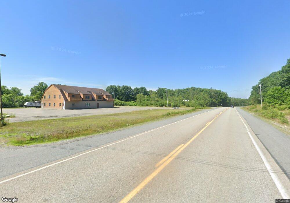
133 Patten Way Ellsworth, ME 04605
Estimated Value: $401,000 - $719,000
About This Home
This home is located at 133 Patten Way, Ellsworth, ME 04605 and is currently estimated at $585,529, approximately $387 per square foot. 133 Patten Way is a home with nearby schools including Sumner Memorial High School.
Ownership History
We collect this data history from publicly available records. To have your information removed, we recommend requesting removal directly through your county’s website.
Purchase Details
Home Financials for this Owner
Home Financials are based on the most recent Mortgage that was taken out on this home.Purchase Details
Purchase History
We collect this data history from publicly available records. To have your information removed, we recommend requesting removal directly through your county’s website.
| Date | Buyer | Sale Price | Title Company |
|---|---|---|---|
| -- | None Available | ||
| -- | -- |
Mortgage History
We collect this data history from publicly available records. To have your information removed, we recommend requesting removal directly through your county’s website.
| Date | Status | Borrower | Loan Amount |
|---|---|---|---|
| Open | $300,000 |
Tax History
We collect this data history from publicly available records. To have your information removed, we recommend requesting removal directly through your county’s website.
| Year | Tax Paid | Tax Assessment Tax Assessment Total Assessment is a certain percentage of the fair market value that is determined by local assessors to be the total taxable value of land and additions on the property. | Land | Improvement |
|---|---|---|---|---|
| 2024 | $8,439 | $483,625 | $163,000 | $320,625 |
| 2023 | $7,673 | $443,520 | $156,480 | $287,040 |
| 2022 | $6,963 | $443,520 | $156,480 | $287,040 |
| 2021 | $6,287 | $348,700 | $130,400 | $218,300 |
| 2020 | $6,545 | $348,700 | $130,400 | $218,300 |
| 2019 | $6,521 | $346,700 | $130,400 | $216,300 |
| 2018 | $6,324 | $346,700 | $130,400 | $216,300 |
| 2017 | $6,363 | $354,100 | $139,900 | $214,200 |
| 2016 | $2,343 | $132,500 | $132,500 | $0 |
| 2015 | $2,345 | $132,500 | $132,500 | $0 |
| 2014 | -- | $132,500 | $132,500 | $0 |
| 2012 | $2,047 | $132,500 | $132,500 | $0 |
Map
- Lot #14 Patten Way
- 10 Patten Way
- 0 Countryside Ct Unit 1663683
- 167 Twin Hill Rd
- 143 Patten Pond Rd
- Lot 48-2-8 Mayflower Way
- 1101
- M035L11-14 Lord Ave
- 104 N Bend Rd
- Lot 37 Wedge Heights
- 35 Dollard Farm Way
- 4 Addie Rd
- 36 Addie Rd
- 19 & 23 Skyhawk Way
- 18 Deer Ridge Ln
- 92 Conary Way
- 80 Pickeral Cove Way
- 599 Toddy Pond Rd
- 41 Short Point Way
- Lot #15 Toddy Pond Rd
- 132 Patten Way
- 127 Patten Way
- 128 Patten Way
- 124 Patten Way
- 101 Patten Way
- 98 Patten Way
- 84 Patten Way
- Lot 16 Patten Way
- 130 Hida Way
- 0 Patten Way Unit 843556
- 0 Patten Way Unit 1101092
- 0 Patten Way Unit 1101068
- 0 Patten Way Unit 1101059
- 0 Patten Way Unit 17 1289195
- 0 Patten Way Unit 16 1289194
- 0 Patten Way Unit 15 1289188
- Lot 15 Patten Way
- Lot 5c Hida Way
- Lot 5b Hida Way
- Lot 5a Hida Way
Ask me questions while you tour the home.